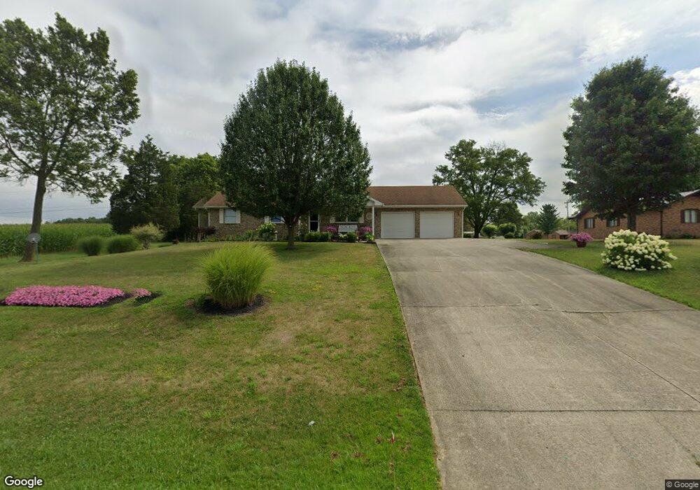
6670 State Route 125 West Union, OH 45693
Estimated Value: $198,000 - $346,000
3
Beds
3
Baths
1,448
Sq Ft
$177/Sq Ft
Est. Value
About This Home
This home is located at 6670 State Route 125, West Union, OH 45693 and is currently estimated at $255,697, approximately $176 per square foot. 6670 State Route 125 is a home located in Adams County with nearby schools including West Union Elementary School, West Union High School, and Adams County Christian School.
Ownership History
Date
Name
Owned For
Owner Type
Purchase Details
Closed on
Aug 26, 2021
Sold by
Spires Victor B and Spires Daphene Spires
Bought by
Spires Victor E and Spires Daphene
Current Estimated Value
Purchase Details
Closed on
Oct 14, 2014
Sold by
Fenton Denver H
Bought by
Spires Victor E and Spires Daphene
Purchase Details
Closed on
Aug 24, 2004
Sold by
Kersey Rodney H
Bought by
Roberts Travis
Purchase Details
Closed on
Sep 27, 2001
Sold by
Carr Joyce
Bought by
Kersey Rodney H
Purchase Details
Closed on
May 17, 1993
Bought by
Carr Joyce
Create a Home Valuation Report for This Property
The Home Valuation Report is an in-depth analysis detailing your home's value as well as a comparison with similar homes in the area
Home Values in the Area
Average Home Value in this Area
Purchase History
| Date | Buyer | Sale Price | Title Company |
|---|---|---|---|
| Spires Victor E | -- | None Available | |
| Spires Victor E | $135,000 | None Available | |
| Roberts Travis | $95,000 | -- | |
| Kersey Rodney H | $89,000 | -- | |
| Carr Joyce | $68,500 | -- |
Source: Public Records
Tax History Compared to Growth
Tax History
| Year | Tax Paid | Tax Assessment Tax Assessment Total Assessment is a certain percentage of the fair market value that is determined by local assessors to be the total taxable value of land and additions on the property. | Land | Improvement |
|---|---|---|---|---|
| 2024 | $744 | $54,740 | $8,400 | $46,340 |
| 2023 | $1,519 | $54,740 | $8,400 | $46,340 |
| 2022 | $1,522 | $45,020 | $6,340 | $38,680 |
| 2021 | $1,301 | $45,020 | $6,340 | $38,680 |
| 2020 | $1,329 | $45,020 | $6,340 | $38,680 |
| 2019 | $1,329 | $45,020 | $6,340 | $38,680 |
| 2018 | $1,122 | $39,980 | $6,340 | $33,640 |
| 2017 | $1,102 | $39,980 | $6,340 | $33,640 |
| 2016 | $550 | $39,980 | $6,340 | $33,640 |
| 2015 | $1,166 | $33,330 | $4,170 | $29,160 |
| 2014 | $837 | $33,330 | $4,170 | $29,160 |
Source: Public Records
Map
Nearby Homes
- 80 Madonna Dr
- 93 Jose Dr
- 4400 Chapparal Rd
- 3 Chapparal Rd
- 2 Chapparal Rd
- 1 Chapparal Rd
- 4 Chapparal Rd
- 714 Panhandle Ave
- 5087 State Route 125
- 0 Cic Blvd
- 5021 Ohio 125
- 0 State Route 41 1 Acre Lot
- 302 W Main St
- 101 S Mound St
- 408 W South St
- 3287 Chapparal Rd
- 305 W Walnut St
- 12196 State Route 41
- 204 E North St
- 70 Logans Ln