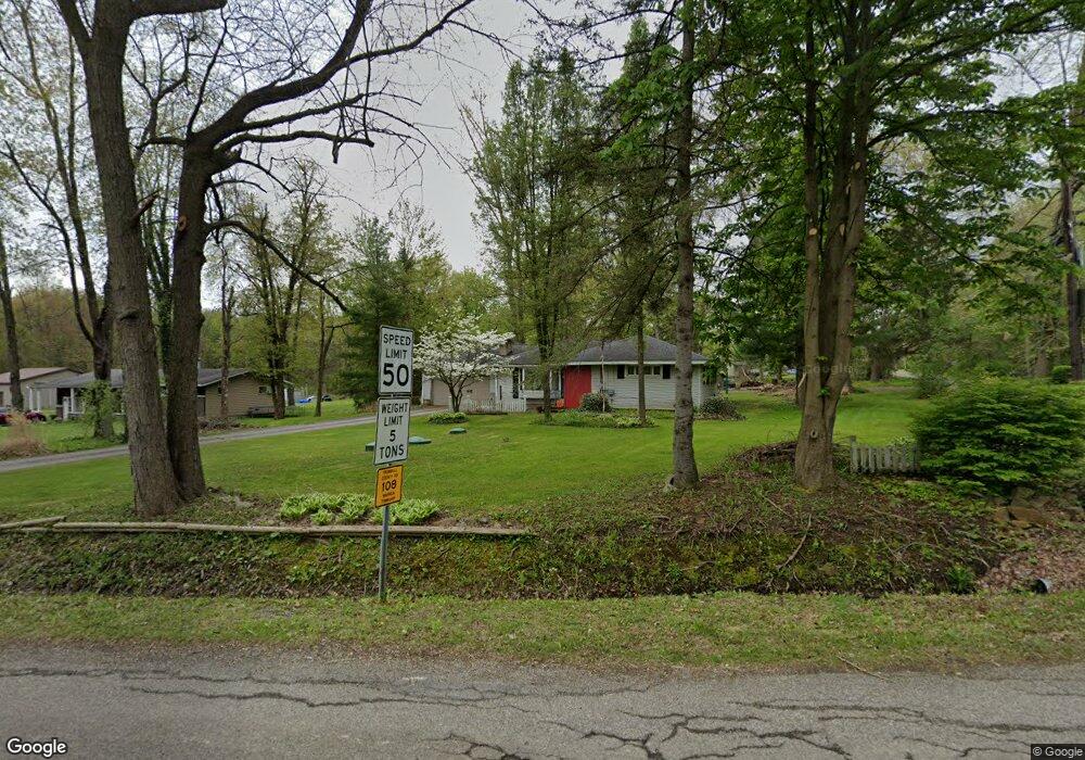
6675 Kale Adams Rd Leavittsburg, OH 44430
Estimated Value: $102,000 - $151,000
3
Beds
1
Bath
1,221
Sq Ft
$107/Sq Ft
Est. Value
About This Home
This home is located at 6675 Kale Adams Rd, Leavittsburg, OH 44430 and is currently estimated at $130,780, approximately $107 per square foot. 6675 Kale Adams Rd is a home located in Trumbull County with nearby schools including LaBrae Intermediate School, Bascom Elementary School, and LaBrae High School.
Ownership History
Date
Name
Owned For
Owner Type
Purchase Details
Closed on
Sep 20, 2011
Sold by
Spencer Katherine and Spencer Kenneth Warren
Bought by
Gmucs Wilbur Dean and Gmucs Tammy M
Current Estimated Value
Purchase Details
Closed on
Oct 27, 2008
Sold by
Mehall Joanne M
Bought by
Spencer Katherine
Purchase Details
Closed on
Sep 27, 2006
Sold by
Mehall John J
Bought by
Mehall Joanne M
Purchase Details
Closed on
Sep 18, 2006
Sold by
Mehall John J
Bought by
Mehall Joanne M
Purchase Details
Closed on
Jan 1, 1990
Bought by
John John J and John S
Create a Home Valuation Report for This Property
The Home Valuation Report is an in-depth analysis detailing your home's value as well as a comparison with similar homes in the area
Home Values in the Area
Average Home Value in this Area
Purchase History
| Date | Buyer | Sale Price | Title Company |
|---|---|---|---|
| Gmucs Wilbur Dean | $27,500 | None Available | |
| Spencer Katherine | -- | Attorney | |
| Mehall Joanne M | -- | None Available | |
| Mehall Joanne M | -- | None Available | |
| John John J | -- | -- |
Source: Public Records
Tax History Compared to Growth
Tax History
| Year | Tax Paid | Tax Assessment Tax Assessment Total Assessment is a certain percentage of the fair market value that is determined by local assessors to be the total taxable value of land and additions on the property. | Land | Improvement |
|---|---|---|---|---|
| 2024 | $719 | $29,060 | $2,770 | $26,290 |
| 2023 | $1,307 | $29,060 | $2,770 | $26,290 |
| 2022 | $1,387 | $26,150 | $2,520 | $23,630 |
| 2021 | $1,400 | $26,150 | $2,520 | $23,630 |
| 2020 | $1,343 | $26,150 | $2,520 | $23,630 |
| 2019 | $1,239 | $22,370 | $2,350 | $20,020 |
| 2018 | $1,240 | $22,370 | $2,350 | $20,020 |
| 2017 | $1,236 | $22,370 | $2,350 | $20,020 |
| 2016 | $1,280 | $24,750 | $2,350 | $22,400 |
| 2015 | $1,297 | $24,750 | $2,350 | $22,400 |
| 2014 | $1,284 | $24,750 | $2,350 | $22,400 |
| 2013 | $1,341 | $26,190 | $2,350 | $23,840 |
Source: Public Records
Map
Nearby Homes
- 0 Layer Rd
- 1164 Kale Adams Rd
- 296 Diehl Rd S
- 245 Diehl Rd S
- 3267 S Leavitt Rd SW
- 0 Kale Adams Rd SW
- VL Risher Rd
- 590 Ruth Ave
- 3984 Warren Ravenna Rd
- 3740 W Market St
- 5173 Palmyra Rd SW
- 0 Palmyra Rd Unit 5011339
- 2822 Selkirk Bush Rd SW
- 4558 Eagle Creek Rd
- 589 Briggs Rd
- 0 Miller Graber Rd SW
- 2931 Randolph St NW
- 3366 Eagle Creek Rd
- 819 Braceville Robinson Rd NW
- 4374 Richmond Ave
- 6665 Kale Adams Rd
- 1825 Wood Lenhart Rd
- 1820 Wood Lenhart Rd
- 6653 Kale Adams Rd
- 1853 Wood Lenhart Rd
- 650 Kale Adams Rd
- 1901 Wood Lenhart Rd
- 6645 Kale Adams Rd
- 691 Kale Adams Rd
- 686 Kale Adams Rd
- 1949 Wood Lenhart Rd
- 1944 Wood Lenhart Rd
- 705 Kale Adams Rd
- 713 Kale Adams Rd
- 6581 Kale Adams Rd
- 714 Kale Adams Rd
- 725 Kale Adams Rd
- 739 Kale Adams Rd
- 732 Kale Adams Rd
- 748 Kale Adams Rd