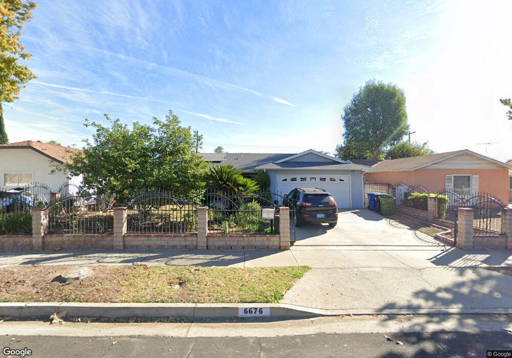
6676 Platt Ave West Hills, CA 91307
Estimated Value: $982,000 - $1,029,000
3
Beds
2
Baths
1,570
Sq Ft
$639/Sq Ft
Est. Value
About This Home
This home is located at 6676 Platt Ave, West Hills, CA 91307 and is currently estimated at $1,002,469, approximately $638 per square foot. 6676 Platt Ave is a home located in Los Angeles County with nearby schools including Haynes Charter For Enriched Studies, Lockhurst Drive Charter Elementary, and Enadia Way Technology Charter.
Ownership History
Date
Name
Owned For
Owner Type
Purchase Details
Closed on
Apr 24, 2020
Sold by
Yniguez Daniela and Yniguez Federico Rogelio
Bought by
Yniguez Daniela and Yniguez Federico Rogelio
Current Estimated Value
Home Financials for this Owner
Home Financials are based on the most recent Mortgage that was taken out on this home.
Original Mortgage
$199,000
Outstanding Balance
$176,949
Interest Rate
3.6%
Mortgage Type
New Conventional
Estimated Equity
$825,520
Purchase Details
Closed on
Jun 17, 2019
Sold by
Yniguez Daniela and Yniguez Federico Rogelio
Bought by
Yniguez Daniela and Yniguez Federico Rogelio
Purchase Details
Closed on
Dec 29, 2018
Sold by
Rodriguez Rogelio
Bought by
Rodriguez Rogelio and The Rogelio Rodriguez Revocabl
Create a Home Valuation Report for This Property
The Home Valuation Report is an in-depth analysis detailing your home's value as well as a comparison with similar homes in the area
Home Values in the Area
Average Home Value in this Area
Purchase History
| Date | Buyer | Sale Price | Title Company |
|---|---|---|---|
| Yniguez Daniela | -- | Pacific Coast Title Company | |
| Yniguez Daniela | -- | None Available | |
| Rodriguez Rogelio | -- | None Available |
Source: Public Records
Mortgage History
| Date | Status | Borrower | Loan Amount |
|---|---|---|---|
| Open | Yniguez Daniela | $199,000 |
Source: Public Records
Tax History Compared to Growth
Tax History
| Year | Tax Paid | Tax Assessment Tax Assessment Total Assessment is a certain percentage of the fair market value that is determined by local assessors to be the total taxable value of land and additions on the property. | Land | Improvement |
|---|---|---|---|---|
| 2025 | $9,347 | $760,779 | $446,205 | $314,574 |
| 2024 | $9,347 | $745,862 | $437,456 | $308,406 |
| 2023 | $9,169 | $731,238 | $428,879 | $302,359 |
| 2022 | $8,748 | $716,901 | $420,470 | $296,431 |
| 2021 | $8,641 | $702,845 | $412,226 | $290,619 |
| 2020 | $2,103 | $150,732 | $59,624 | $91,108 |
| 2019 | $2,031 | $147,777 | $58,455 | $89,322 |
| 2018 | $1,903 | $144,880 | $57,309 | $87,571 |
| 2016 | $1,803 | $139,256 | $55,085 | $84,171 |
| 2015 | $1,778 | $137,165 | $54,258 | $82,907 |
| 2014 | $1,792 | $134,479 | $53,196 | $81,283 |
Source: Public Records
Map
Nearby Homes
- 6670 Platt Ave
- 6820 Gross Ave
- 6416 Kenwater Place
- 23549 Victory Blvd Unit 21
- 23928 Archwood St
- 23320 Bassett St
- 23335 Schoolcraft St
- 6814 Berquist Ave
- 23432 Victory Blvd
- 23232 Hartland St
- 7024 Middlesbury Ridge Cir
- 7031 Deveron Ridge Rd
- 6236 Kenwater Ave
- 6227 Glide Ave
- 6172 Dalecrest Ave
- 24224 Welby Way
- 23238 Victory Blvd
- 23760 Harwich Place
- 24206 Saint Edens Cir
- 7152 Pomelo Dr
- 6700 Platt Ave
- 6677 Birchton Ave
- 6708 Platt Ave
- 6664 Platt Ave
- 6683 Birchton Ave
- 6671 Birchton Ave
- 6665 Birchton Ave
- 6658 Platt Ave
- 6691 Birchton Ave
- 6714 Platt Ave
- 6657 Birchton Ave
- 6652 Platt Ave
- 23627 Welby Way
- 23700 Welby Way
- 6651 Birchton Ave
- 23701 Archwood St
- 6676 Birchton Ave
- 23644 Vanowen St
- 6682 Birchton Ave
- 6670 Birchton Ave