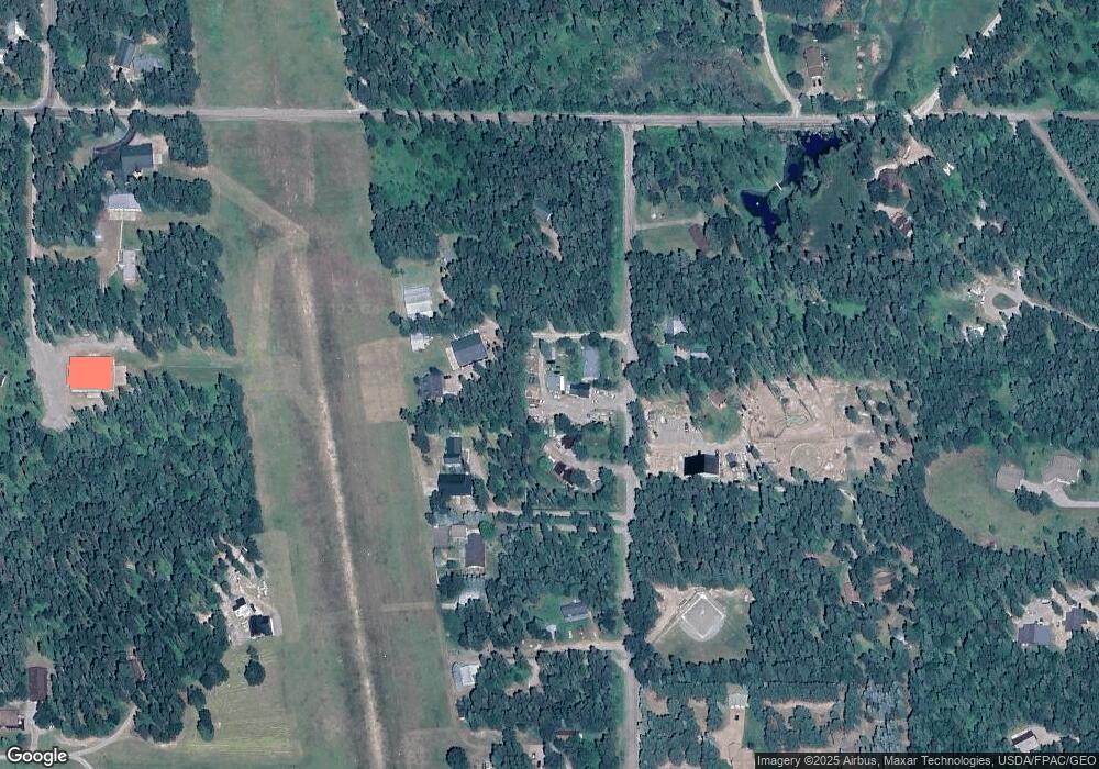
668 Aero Ln Bigfork, MT 59911
Estimated Value: $693,500
Studio
--
Bath
--
Sq Ft
1.03
Acres
About This Home
This home is located at 668 Aero Ln, Bigfork, MT 59911 and is currently estimated at $693,500. 668 Aero Ln is a home located in Flathead County with nearby schools including Bigfork Elementary School, Bigfork Middle School, and Bigfork High School.
Ownership History
Date
Name
Owned For
Owner Type
Purchase Details
Closed on
Nov 17, 2014
Sold by
Coates Leslie
Bought by
Love Adam
Current Estimated Value
Home Financials for this Owner
Home Financials are based on the most recent Mortgage that was taken out on this home.
Original Mortgage
$98,000
Outstanding Balance
$54,993
Interest Rate
4.16%
Mortgage Type
Seller Take Back
Estimated Equity
$622,007
Purchase Details
Closed on
Feb 18, 2011
Sold by
Sokol Lezlie Beth
Bought by
Coates Leslie
Purchase Details
Closed on
Mar 29, 2008
Sold by
Drtiz John Paul
Bought by
Hayes George and Hayes Julie
Create a Home Valuation Report for This Property
The Home Valuation Report is an in-depth analysis detailing your home's value as well as a comparison with similar homes in the area
Home Values in the Area
Average Home Value in this Area
Purchase History
| Date | Buyer | Sale Price | Title Company |
|---|---|---|---|
| Love Adam | -- | Alliance Title | |
| Coates Leslie | -- | None Available | |
| Hayes George | -- | None Available |
Source: Public Records
Mortgage History
| Date | Status | Borrower | Loan Amount |
|---|---|---|---|
| Open | Love Adam | $98,000 |
Source: Public Records
Tax History Compared to Growth
Tax History
| Year | Tax Paid | Tax Assessment Tax Assessment Total Assessment is a certain percentage of the fair market value that is determined by local assessors to be the total taxable value of land and additions on the property. | Land | Improvement |
|---|---|---|---|---|
| 2025 | $715 | $266,430 | $0 | $0 |
| 2024 | $704 | $147,860 | $0 | $0 |
| 2023 | $757 | $147,860 | $0 | $0 |
| 2022 | $731 | $102,766 | $0 | $0 |
| 2021 | $723 | $102,766 | $0 | $0 |
| 2020 | $687 | $88,175 | $0 | $0 |
| 2019 | $661 | $88,175 | $0 | $0 |
| 2018 | $602 | $75,827 | $0 | $0 |
| 2017 | $598 | $75,827 | $0 | $0 |
| 2016 | $553 | $70,717 | $0 | $0 |
| 2015 | $522 | $70,717 | $0 | $0 |
| 2014 | $613 | $54,789 | $0 | $0 |
Source: Public Records
Map
Nearby Homes
- 518 Eastman Dr
- 305 Ferndale Dr Unit 41&42
- 305 Ferndale Dr Unit 42
- 305 Ferndale Dr Unit 41
- 639 Three Eagle Ln
- 115 Ferndale Dr
- 936 Swan River Rd
- 172 Swanlea Rd S
- 11357 Mt Highway 83
- 30580 Cayuse Ln
- 1150 Swan Hill Dr
- NHN Wolf Creek Ranch Rd
- 12022 Mount Highway 83
- Nhn Swan Hill Dr
- 183 Pinto Trail
- Lot 4 Montana 83
- 157 Pinto Trail
- 12524 Sunburst Dr
- 401 Saddlehorn Trail
- 1 Red Owl Rd