Estimated Value: $384,808 - $433,000
3
Beds
1
Bath
1,214
Sq Ft
$337/Sq Ft
Est. Value
About This Home
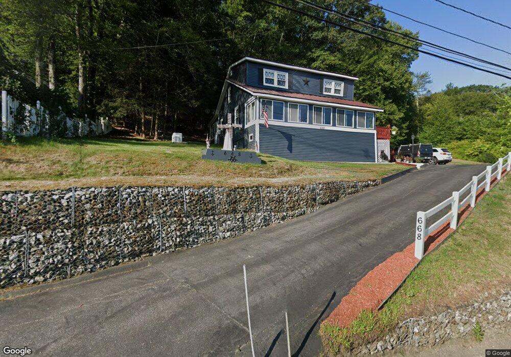
This home is located at 668 Route 3a, Bow, NH 03304 and is currently estimated at $409,452, approximately $337 per square foot. 668 Route 3a is a home located in Merrimack County with nearby schools including Bow Elementary School, Bow Memorial School, and Bow High School.
Ownership History
Date
Name
Owned For
Owner Type
Purchase Details
Closed on
Dec 2, 2013
Sold by
Stanley Robert C and Stanley Jerri L
Bought by
Robert C & J Stanley Ft and Stanley
Current Estimated Value
Purchase Details
Closed on
Aug 28, 2007
Sold by
Marquis Scott A
Bought by
Countrywide Bank
Purchase Details
Closed on
Apr 10, 2006
Sold by
Deutsche Bk Natl T Co
Bought by
Marquis Scott
Home Financials for this Owner
Home Financials are based on the most recent Mortgage that was taken out on this home.
Original Mortgage
$101,500
Interest Rate
6.26%
Mortgage Type
Purchase Money Mortgage
Purchase Details
Closed on
Nov 29, 2005
Sold by
Carter William and Carter Norma
Bought by
Ameriquest Mtg Securit
Purchase Details
Closed on
Feb 28, 2003
Sold by
Ford Dolores J
Bought by
Carter William and Carter Norma
Home Financials for this Owner
Home Financials are based on the most recent Mortgage that was taken out on this home.
Original Mortgage
$128,250
Interest Rate
5.98%
Mortgage Type
Purchase Money Mortgage
Create a Home Valuation Report for This Property
The Home Valuation Report is an in-depth analysis detailing your home's value as well as a comparison with similar homes in the area
Home Values in the Area
Average Home Value in this Area
Purchase History
| Date | Buyer | Sale Price | Title Company |
|---|---|---|---|
| Robert C & J Stanley Ft | -- | -- | |
| Countrywide Bank | $147,200 | -- | |
| Marquis Scott | $145,000 | -- | |
| Ameriquest Mtg Securit | $178,200 | -- | |
| Carter William | $135,000 | -- |
Source: Public Records
Mortgage History
| Date | Status | Borrower | Loan Amount |
|---|---|---|---|
| Previous Owner | Carter William | $101,500 | |
| Previous Owner | Carter William | $128,250 |
Source: Public Records
Tax History Compared to Growth
Tax History
| Year | Tax Paid | Tax Assessment Tax Assessment Total Assessment is a certain percentage of the fair market value that is determined by local assessors to be the total taxable value of land and additions on the property. | Land | Improvement |
|---|---|---|---|---|
| 2024 | $5,497 | $277,900 | $108,800 | $169,100 |
| 2023 | $5,281 | $189,900 | $77,800 | $112,100 |
| 2022 | $5,015 | $189,100 | $77,800 | $111,300 |
| 2021 | $4,820 | $189,100 | $77,800 | $111,300 |
| 2020 | $4,837 | $189,100 | $77,800 | $111,300 |
| 2019 | $4,956 | $189,100 | $77,800 | $111,300 |
| 2018 | $5,117 | $184,200 | $70,700 | $113,500 |
| 2017 | $5,115 | $184,200 | $70,700 | $113,500 |
| 2016 | $4,843 | $184,200 | $70,700 | $113,500 |
| 2015 | $4,578 | $160,400 | $70,700 | $89,700 |
| 2014 | $4,683 | $158,700 | $70,700 | $88,000 |
| 2011 | $4,200 | $154,700 | $67,100 | $87,600 |
Source: Public Records
Map
Nearby Homes
- 24 Grandview Rd
- 53 Heather Ln
- 5 Holly Cir
- 0 Garvins Falls Rd Unit 4 5061370
- 107 Garvins Falls Rd
- 289 South St
- 376 S Main St
- 22 Longmeadow Dr
- 4 Bow Center Rd Unit F2
- 4 Bow Center Rd Unit B2
- 41 Longmeadow Dr
- 6 Woodland Cir
- 15 Wilson Ave
- 0 South St Unit 4969509
- 105 S Main St
- 22 Wilson Ave
- 69 Manchester St Unit Lot 18
- 29 Westover Ln
- 91 Whittemore Rd
- 122 South St