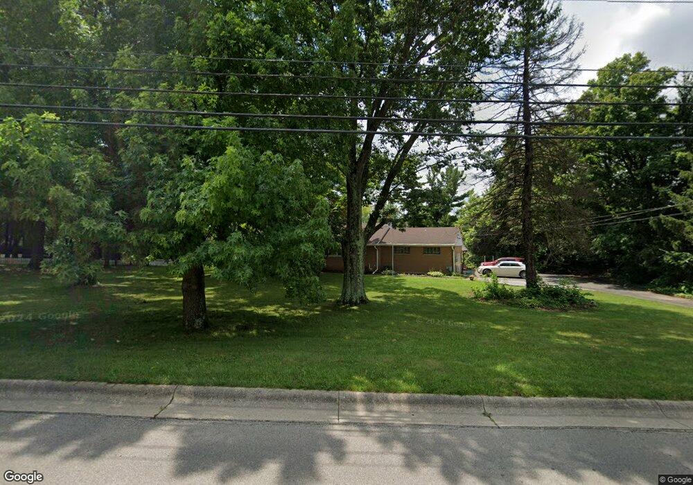
6681 Manchester Rd Middletown, OH 45042
Sawyer's Mill NeighborhoodEstimated Value: $200,000 - $238,556
2
Beds
1
Bath
1,264
Sq Ft
$173/Sq Ft
Est. Value
About This Home
This home is located at 6681 Manchester Rd, Middletown, OH 45042 and is currently estimated at $218,889, approximately $173 per square foot. 6681 Manchester Rd is a home located in Warren County with nearby schools including Franklin High School, Summit Academy Community School for Alternative Learners - Middletown, and Summit Academy Secondary School - Middletown.
Ownership History
Date
Name
Owned For
Owner Type
Purchase Details
Closed on
Jun 17, 2008
Sold by
Estate Of Wanda M Day
Bought by
Day Charles H
Current Estimated Value
Purchase Details
Closed on
Apr 20, 1983
Sold by
Day Day and Day Charles H
Bought by
Day Day and Day Wanda M
Create a Home Valuation Report for This Property
The Home Valuation Report is an in-depth analysis detailing your home's value as well as a comparison with similar homes in the area
Home Values in the Area
Average Home Value in this Area
Purchase History
| Date | Buyer | Sale Price | Title Company |
|---|---|---|---|
| Day Charles H | -- | Middletown Title | |
| Day Day | -- | -- |
Source: Public Records
Tax History Compared to Growth
Tax History
| Year | Tax Paid | Tax Assessment Tax Assessment Total Assessment is a certain percentage of the fair market value that is determined by local assessors to be the total taxable value of land and additions on the property. | Land | Improvement |
|---|---|---|---|---|
| 2024 | $2,820 | $63,980 | $17,770 | $46,210 |
| 2023 | $2,540 | $51,880 | $10,944 | $40,936 |
| 2022 | $2,538 | $51,881 | $10,945 | $40,936 |
| 2021 | $1,952 | $51,881 | $10,945 | $40,936 |
| 2020 | $1,721 | $42,179 | $8,897 | $33,282 |
| 2019 | $1,554 | $42,179 | $8,897 | $33,282 |
| 2018 | $1,546 | $42,179 | $8,897 | $33,282 |
| 2017 | $1,489 | $37,863 | $7,378 | $30,485 |
| 2016 | $1,521 | $37,863 | $7,378 | $30,485 |
| 2015 | $1,521 | $37,863 | $7,378 | $30,485 |
| 2014 | $1,566 | $37,860 | $7,380 | $30,490 |
| 2013 | $1,322 | $45,790 | $8,900 | $36,890 |
Source: Public Records
Map
Nearby Homes
- 6777 Crystal Harbour Dr
- 6795 Crystal Harbour Dr
- 5667 Woodcreek Dr
- 5696 Woodcreek Dr
- 5714 Millbrook Dr
- 5760 Autumn Dr
- 5031 Gerber Dr
- 6772 Rivulet Dr
- 5019 Waterford Ln
- 4840 Shannon Way
- Creekside Paired Villa Plan at Waterford Place
- 4964 Timberline Dr Unit 81
- 501 Tara Oaks Dr
- 4904 Timberline Dr Unit 84
- 209 Arcadia Dr
- 413 N Marshall Rd
- 5845 Manchester Rd
- 618 Quail Run Rd
- 229 Edith Dr
- 4723 Rosedale Rd
- 6759 Manchester Rd
- 6649 Manchester Rd
- 6688 Manchester Rd
- 6668 Manchester Rd
- 6710 Manchester Rd
- 6650 Manchester Rd
- 6726 Manchester Rd
- 6634 Manchester Rd
- 6744 Manchester Rd
- 6695 Crystal Harbour Dr
- 6709 Crystal Harbour Dr
- 6671 Crystal Harbour Dr
- 6713 Crystal Harbour Dr
- 6669 Crystal Harbour Dr
- 6727 Crystal Harbour Dr
- 6775 Manchester Rd
- 6766 Manchester Rd
- 5531 Sawyers Mill Dr
- 6731 Crystal Harbour Dr
- 6641 Crystal Harbour Dr