6682 E Washington St Pellston, MI 49769
Estimated Value: $80,000 - $182,000
Studio
--
Bath
--
Sq Ft
7,971
Sq Ft Lot
About This Home
This home is located at 6682 E Washington St, Pellston, MI 49769 and is currently estimated at $125,862. 6682 E Washington St is a home located in Emmet County with nearby schools including Pellston Elementary School and Pellston Middle/High School.
Ownership History
Date
Name
Owned For
Owner Type
Purchase Details
Closed on
Apr 22, 2020
Sold by
Chemical Bank
Bought by
Day Lynnette
Current Estimated Value
Purchase Details
Closed on
Mar 27, 2019
Sold by
Malosky Stannette E and Day Renee C
Bought by
Chemical Bank
Purchase Details
Closed on
Apr 9, 2003
Sold by
Malosky Stannette E
Bought by
Malosky Stannette E and Day Renee C
Purchase Details
Closed on
Dec 26, 2001
Sold by
Hall Edgar L
Bought by
Malosky Stannette E
Purchase Details
Closed on
Mar 1, 1997
Bought by
Hall Pta
Create a Home Valuation Report for This Property
The Home Valuation Report is an in-depth analysis detailing your home's value as well as a comparison with similar homes in the area
Purchase History
| Date | Buyer | Sale Price | Title Company |
|---|---|---|---|
| Day Lynnette | $20,000 | -- | |
| Chemical Bank | $18,253 | -- | |
| Malosky Stannette E | -- | -- | |
| Malosky Stannette E | $10,000 | -- | |
| Hall Pta | $2,500 | -- |
Source: Public Records
Tax History
| Year | Tax Paid | Tax Assessment Tax Assessment Total Assessment is a certain percentage of the fair market value that is determined by local assessors to be the total taxable value of land and additions on the property. | Land | Improvement |
|---|---|---|---|---|
| 2025 | $620 | $25,500 | $25,500 | $0 |
| 2024 | $4 | $21,400 | $21,400 | $0 |
| 2023 | $578 | $20,100 | $20,100 | $0 |
| 2022 | $578 | $18,000 | $18,000 | $0 |
| 2021 | $610 | $17,700 | $17,700 | $0 |
| 2020 | $499 | $16,900 | $16,900 | $0 |
| 2019 | -- | $14,700 | $14,700 | $0 |
| 2018 | -- | $14,700 | $14,700 | $0 |
| 2017 | -- | $14,300 | $14,300 | $0 |
| 2016 | -- | $13,800 | $13,800 | $0 |
| 2015 | -- | $13,200 | $0 | $0 |
| 2014 | -- | $13,700 | $0 | $0 |
Source: Public Records
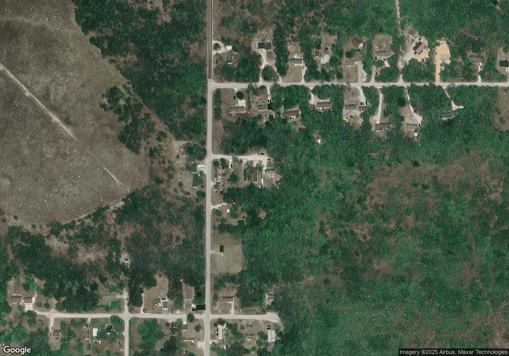
Map
Nearby Homes
- 6457 State St
- 6421 Airport Crossing Rd Unit 1
- 8959 Robinson Rd
- 8016 Silver Strand Rd
- TBD Teal Rd
- 11115 Douglas Lake Rd
- 4333 U S 31
- 10999 Koepke Rd
- 6105 U S 31
- 10222 W Munro Lake Dr
- 5100 N Bay Way
- 1830 Indian Point Rd
- 6167 Lambert Dr
- 1442 Indian Point Rd
- 6737 Honeysette Rd
- 7469 Sommers Rd
- 5441 Valley Rd
- 393 Beaux Rivages Dr
- 7084 Center St
- 7181 Maple St
- 6670 E Washington St
- 6700 E Washington St
- 6650 E Washington St
- 466 Zipf St
- 374 Zipf St
- 867 Zipf St Unit Lot E
- 381 Zipf St
- 6674 Tremble Trail
- 6640 Tremble Trail
- 6708 Tremble Trail
- 6708 Tremble Trail Unit 3
- 6742 Tremble Trail
- 6677 E Bogardus St
- 6776 Tremble Trail
- 6776 Tremble Tr
- 6661 E Bogardus St
- 6691 Tremble Trail
- 588 Zipf St
- 337 Zipf St
- 6725 Tremble Trail
Your Personal Tour Guide
Ask me questions while you tour the home.