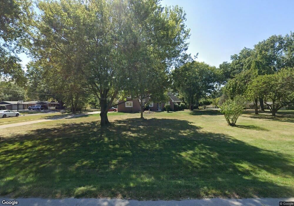
6685 Northside Dr Brownsburg, IN 46112
Estimated Value: $448,000 - $636,000
4
Beds
3
Baths
3,169
Sq Ft
$169/Sq Ft
Est. Value
About This Home
This home is located at 6685 Northside Dr, Brownsburg, IN 46112 and is currently estimated at $536,082, approximately $169 per square foot. 6685 Northside Dr is a home located in Hendricks County with nearby schools including Delaware Trail Elementary School, Brownsburg East Middle School, and Brownsburg High School.
Ownership History
Date
Name
Owned For
Owner Type
Purchase Details
Closed on
Dec 4, 2009
Sold by
Francik David L and Sackett Sheryl L
Bought by
Francik David L and Sackett Francik Sheryl L
Current Estimated Value
Home Financials for this Owner
Home Financials are based on the most recent Mortgage that was taken out on this home.
Original Mortgage
$137,900
Outstanding Balance
$89,083
Interest Rate
5.11%
Mortgage Type
New Conventional
Estimated Equity
$446,999
Purchase Details
Closed on
Jul 9, 2009
Sold by
Terry Linda Faye
Bought by
Francik David L and Sackett Sheryl L
Home Financials for this Owner
Home Financials are based on the most recent Mortgage that was taken out on this home.
Original Mortgage
$228,000
Outstanding Balance
$146,117
Interest Rate
5.36%
Mortgage Type
New Conventional
Estimated Equity
$389,965
Create a Home Valuation Report for This Property
The Home Valuation Report is an in-depth analysis detailing your home's value as well as a comparison with similar homes in the area
Home Values in the Area
Average Home Value in this Area
Purchase History
| Date | Buyer | Sale Price | Title Company |
|---|---|---|---|
| Francik David L | -- | None Available | |
| Francik David L | -- | Fat |
Source: Public Records
Mortgage History
| Date | Status | Borrower | Loan Amount |
|---|---|---|---|
| Open | Francik David L | $137,900 | |
| Open | Francik David L | $228,000 |
Source: Public Records
Tax History
| Year | Tax Paid | Tax Assessment Tax Assessment Total Assessment is a certain percentage of the fair market value that is determined by local assessors to be the total taxable value of land and additions on the property. | Land | Improvement |
|---|---|---|---|---|
| 2025 | $5,126 | $500,500 | $72,400 | $428,100 |
| 2024 | $5,126 | $480,000 | $72,400 | $407,600 |
| 2023 | $4,611 | $428,900 | $59,200 | $369,700 |
| 2022 | $4,288 | $407,900 | $56,400 | $351,500 |
| 2021 | $3,938 | $371,600 | $56,400 | $315,200 |
| 2020 | $3,658 | $343,000 | $56,400 | $286,600 |
| 2019 | $3,346 | $314,500 | $51,700 | $262,800 |
| 2018 | $3,381 | $311,100 | $51,700 | $259,400 |
| 2017 | $3,233 | $297,000 | $49,400 | $247,600 |
| 2016 | $3,144 | $288,200 | $49,400 | $238,800 |
| 2014 | $3,017 | $274,400 | $47,900 | $226,500 |
Source: Public Records
Map
Nearby Homes
- 6750 E County Road 425 N
- 154 Dover Blvd N
- 1432 Hideaway Cir
- 6433 Wings Ct
- 6 Kristelli Ct
- 6415 Wings Ct
- 1314 Holiday Ln E
- 14 James Ct
- 6338 Wings Ct
- 506 S Green St
- 4475 Yellowwood Ave
- 4472 Yellowwood Ave
- 4494 Yellowwood Ave
- 6274 Chelsea St
- 4498 Yellowwood Ave
- 4502 Yellowwood Ave
- 4481 Yellowwood Ave
- 7643 Sagamore Dr
- 4508 Yellowwood Ave
- 6284 Chelsea St
- 6627 Northside Dr
- 6693 Northside Dr
- 6597 Northside Dr
- 4372 Eastside Dr
- 6571 Northside Dr
- 4364 Eastside Dr
- 4405 Westside Dr
- 4392 Eastside Dr
- 4423 Westside Dr
- 4377 Westside Dr
- 4341 Eastside Dr
- 1057 Locust Ln
- 1037 Locust Ln
- 4475 Forest Dr
- 4357 Westside Dr
- 4439 Westside Dr
- 4387 Locust Ln
- 4387 Locust Ln
- 4379 Eastside Dr
- 1017 Locust Ln
Your Personal Tour Guide
Ask me questions while you tour the home.