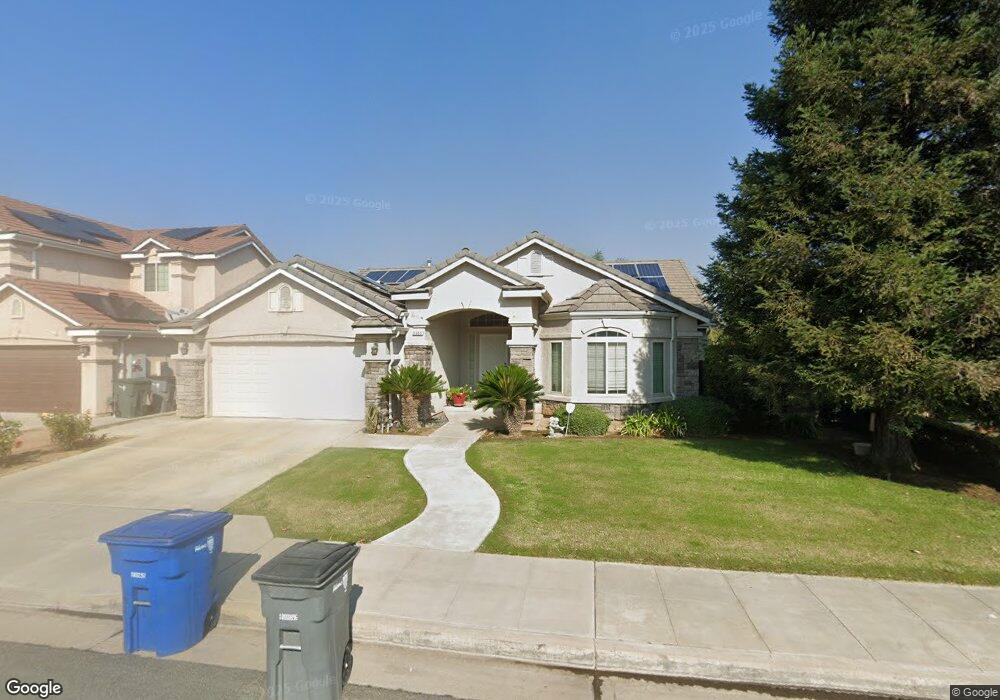
6686 E Simpson Ave Fresno, CA 93727
McLane NeighborhoodEstimated Value: $445,000 - $501,000
3
Beds
2
Baths
2,040
Sq Ft
$233/Sq Ft
Est. Value
About This Home
This home is located at 6686 E Simpson Ave, Fresno, CA 93727 and is currently estimated at $475,208, approximately $232 per square foot. 6686 E Simpson Ave is a home located in Fresno County with nearby schools including Clovis Christian Schools.
Ownership History
Date
Name
Owned For
Owner Type
Purchase Details
Closed on
Jul 23, 2010
Sold by
Adams Jared and Adams Julie M
Bought by
Smith Adam E and Kumar Archana
Current Estimated Value
Home Financials for this Owner
Home Financials are based on the most recent Mortgage that was taken out on this home.
Original Mortgage
$182,541
Outstanding Balance
$121,240
Interest Rate
4.71%
Mortgage Type
FHA
Estimated Equity
$353,968
Purchase Details
Closed on
May 15, 2006
Sold by
Bn 5233 Lp
Bought by
Adams Jared and Adams Julie M
Home Financials for this Owner
Home Financials are based on the most recent Mortgage that was taken out on this home.
Original Mortgage
$333,777
Interest Rate
6.55%
Mortgage Type
Fannie Mae Freddie Mac
Create a Home Valuation Report for This Property
The Home Valuation Report is an in-depth analysis detailing your home's value as well as a comparison with similar homes in the area
Home Values in the Area
Average Home Value in this Area
Purchase History
| Date | Buyer | Sale Price | Title Company |
|---|---|---|---|
| Smith Adam E | $185,000 | Placer Title Company | |
| Adams Jared | $351,500 | Chicago Title Company |
Source: Public Records
Mortgage History
| Date | Status | Borrower | Loan Amount |
|---|---|---|---|
| Open | Smith Adam E | $182,541 | |
| Previous Owner | Adams Jared | $333,777 |
Source: Public Records
Tax History
| Year | Tax Paid | Tax Assessment Tax Assessment Total Assessment is a certain percentage of the fair market value that is determined by local assessors to be the total taxable value of land and additions on the property. | Land | Improvement |
|---|---|---|---|---|
| 2025 | $5,065 | $237,007 | $76,865 | $160,142 |
| 2023 | $4,837 | $227,805 | $73,881 | $153,924 |
| 2022 | $4,776 | $223,339 | $72,433 | $150,906 |
| 2021 | $4,699 | $218,961 | $71,013 | $147,948 |
| 2020 | $4,643 | $216,716 | $70,285 | $146,431 |
| 2019 | $4,609 | $212,467 | $68,907 | $143,560 |
| 2018 | $4,524 | $208,302 | $67,556 | $140,746 |
| 2017 | $4,439 | $204,219 | $66,232 | $137,987 |
| 2016 | $4,366 | $200,216 | $64,934 | $135,282 |
| 2015 | $4,415 | $197,209 | $63,959 | $133,250 |
| 2014 | $2,480 | $193,347 | $62,707 | $130,640 |
Source: Public Records
Map
Nearby Homes
- 3062 N Filbert Ave
- 6585 E Huffman Ave
- 6552 E Huffman Ave
- 2788 N Douglas Ave
- 3165 N Arroyo Ave
- 3341 N Pearwood Ave
- 2721 N Armstrong Ave
- 2648 N Armstrong Ave
- 2871 N Cypress Ave
- 1934 N Arroyo Ave
- 1918 N Arroyo Ave
- 1902 N Arroyo Ave
- 1926 N Arroyo Ave
- 1894 N Arroyo Ave
- 6978 E Fedora Ave
- 6883 E Robinson Ave
- 2819 N Redda Rd
- 6212 E Bibi Dr
- 7063 E Brown Ave
- 6406 E Giavanna Ave
- 6702 E Simpson Ave
- 6672 E Simpson Ave
- 6658 E Simpson Ave
- 6714 E Simpson Ave
- 6685 E Simpson Ave
- 6699 E Simpson Ave
- 6671 E Simpson Ave
- 6728 E Simpson Ave
- 6644 E Simpson Ave
- 6713 E Simpson Ave
- 6657 E Simpson Ave
- 6675 E Andrews Ave
- 6727 E Simpson Ave
- 6687 E Andrews Ave
- 6643 E Simpson Ave
- 6663 E Andrews Ave
- 6688 E Cornell Ave
- 6699 E Andrews Ave
- 6702 E Cornell Ave
- 6674 E Cornell Ave
Your Personal Tour Guide
Ask me questions while you tour the home.