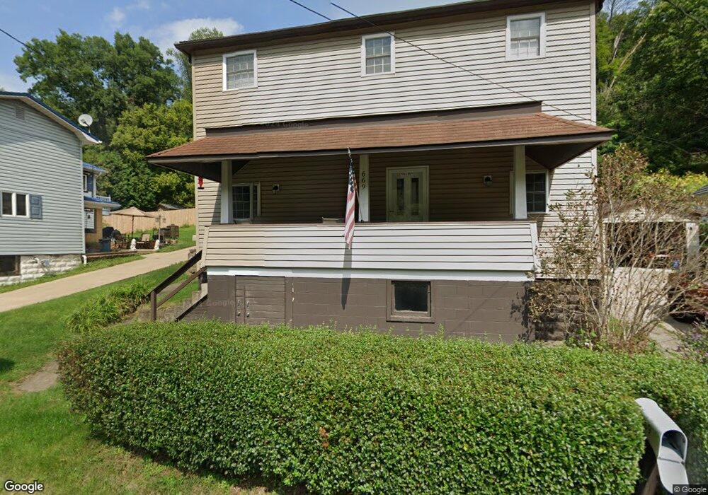
669 Canal Rd Apollo, PA 15613
Estimated Value: $30,000 - $72,000
2
Beds
1
Bath
546
Sq Ft
$97/Sq Ft
Est. Value
About This Home
This home is located at 669 Canal Rd, Apollo, PA 15613 and is currently estimated at $52,803, approximately $96 per square foot. 669 Canal Rd is a home located in Armstrong County.
Ownership History
Date
Name
Owned For
Owner Type
Purchase Details
Closed on
Apr 23, 2025
Sold by
Sarpolis Michael J and Fabry Brandy L
Bought by
Rf Luxs Holdings Llc
Current Estimated Value
Purchase Details
Closed on
Aug 20, 2024
Sold by
Hansen Christopher F
Bought by
Fabry Brandy L and Sarpolis Michael J
Purchase Details
Closed on
Feb 5, 2019
Sold by
Rigatti Nathan
Bought by
Hansen Christopher F
Purchase Details
Closed on
Sep 28, 2018
Sold by
Thompson Gerald L
Bought by
Rigatti Nathan
Purchase Details
Closed on
May 4, 1998
Bought by
Thompson Gerald L
Create a Home Valuation Report for This Property
The Home Valuation Report is an in-depth analysis detailing your home's value as well as a comparison with similar homes in the area
Home Values in the Area
Average Home Value in this Area
Purchase History
| Date | Buyer | Sale Price | Title Company |
|---|---|---|---|
| Rf Luxs Holdings Llc | $8,000 | None Listed On Document | |
| Fabry Brandy L | $15,000 | Ufirst Real Estate Services | |
| Hansen Christopher F | $14,000 | None Available | |
| Rigatti Nathan | $8,000 | None Available | |
| Thompson Gerald L | $12,000 | -- |
Source: Public Records
Tax History
| Year | Tax Paid | Tax Assessment Tax Assessment Total Assessment is a certain percentage of the fair market value that is determined by local assessors to be the total taxable value of land and additions on the property. | Land | Improvement |
|---|---|---|---|---|
| 2025 | $898 | $8,600 | $5,190 | $3,410 |
| 2024 | $837 | $8,600 | $5,190 | $3,410 |
| 2023 | $718 | $8,600 | $5,190 | $3,410 |
| 2022 | $718 | $8,600 | $5,190 | $3,410 |
| 2021 | $707 | $8,600 | $5,190 | $3,410 |
| 2020 | $707 | $8,600 | $5,190 | $3,410 |
| 2019 | $707 | $8,600 | $5,190 | $3,410 |
| 2018 | $684 | $7,415 | $2,550 | $4,865 |
| 2017 | $688 | $8,600 | $5,190 | $3,410 |
| 2016 | $688 | $8,600 | $5,190 | $3,410 |
| 2015 | $324 | $8,600 | $5,190 | $3,410 |
| 2014 | $324 | $8,600 | $5,190 | $3,410 |
Source: Public Records
Map
Nearby Homes
- 311 & 313 N 2nd St
- 428 Meadows Dr
- 115 Acadia Ln
- 4792 State Route 66
- 314 S 5th St
- 788 Old State Rd
- 1738 Hancock Ave
- 127 Lily St
- 404 N Pennsylvania Ave
- 262 Vista Dr
- 93 McKinstry Hill Rd
- 28 McKinstry Hill Rd
- 218 Clifford Ave
- 212 Terrace Ave
- 322 N 4th St
- 225 Kochka Dr
- 411a N Pennsylvania Ave
- 1316 Hancock Ave
- 715 1/2 Armstrong Ave Unit 1/2
- 733 N Warren Ave
Your Personal Tour Guide
Ask me questions while you tour the home.