669 S Beach Rd Point Roberts, WA 98281
Estimated Value: $358,677 - $419,000
1
Bed
1
Bath
1,286
Sq Ft
$296/Sq Ft
Est. Value
About This Home
This home is located at 669 S Beach Rd, Point Roberts, WA 98281 and is currently estimated at $380,919, approximately $296 per square foot. 669 S Beach Rd is a home located in Whatcom County with nearby schools including Point Roberts Primary School, Blaine Middle School, and Blaine High School.
Ownership History
Date
Name
Owned For
Owner Type
Purchase Details
Closed on
Mar 18, 2015
Sold by
Halladay Douglas L J
Bought by
Halladay Douglas L J and Todd Hope
Current Estimated Value
Purchase Details
Closed on
Mar 23, 2006
Sold by
Halladay Douglas L J
Bought by
Halladay Douglas L J and Stewart Edith Louise
Create a Home Valuation Report for This Property
The Home Valuation Report is an in-depth analysis detailing your home's value as well as a comparison with similar homes in the area
Home Values in the Area
Average Home Value in this Area
Purchase History
| Date | Buyer | Sale Price | Title Company |
|---|---|---|---|
| Halladay Douglas L J | -- | Chicago Title Insurance | |
| Halladay Douglas L J | $103,333 | Chicago Title Insurance Co | |
| Halladay Douglas L J | -- | None Available |
Source: Public Records
Tax History Compared to Growth
Tax History
| Year | Tax Paid | Tax Assessment Tax Assessment Total Assessment is a certain percentage of the fair market value that is determined by local assessors to be the total taxable value of land and additions on the property. | Land | Improvement |
|---|---|---|---|---|
| 2024 | $2,755 | $351,056 | $211,992 | $139,064 |
| 2023 | $2,755 | $331,784 | $192,720 | $139,064 |
| 2022 | $2,489 | $302,999 | $176,000 | $126,999 |
| 2021 | $2,480 | $247,308 | $147,136 | $100,172 |
| 2020 | $2,469 | $228,986 | $136,236 | $92,750 |
| 2019 | $2,291 | $219,648 | $130,680 | $88,968 |
| 2018 | $2,174 | $197,461 | $117,480 | $79,981 |
| 2017 | $1,885 | $188,587 | $112,200 | $76,387 |
| 2016 | $1,871 | $184,889 | $110,000 | $74,889 |
| 2015 | $1,989 | $178,338 | $106,272 | $72,066 |
| 2014 | -- | $186,438 | $111,100 | $75,338 |
| 2013 | -- | $178,593 | $106,700 | $71,893 |
Source: Public Records
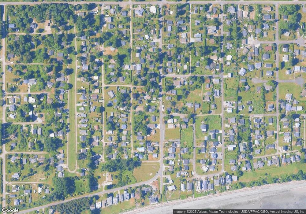
Map
Nearby Homes
- 634 S Beach Rd
- 661 Driftwood Ln
- 1934 Waters Rd
- 698 Kendor Dr
- 1911 Apa Rd
- 1881 Edwards Dr
- 1927 Orcas View Way
- 1940 Apa Rd
- 1920 Patos Way
- 675 Sylvia Dr
- 2045 Apa Rd
- 1976 Cedar Park Dr
- lot 14 Cedar Park Dr Unit 14
- 0 6 39 Acres South Beach Rd
- Lot 2 Greenwood Dr
- 2250 Seabright Loop
- 2149 Seabright Loop
- 2246 Seabright Loop
- 2 Benson Rd
- 2242 Seabright Loop