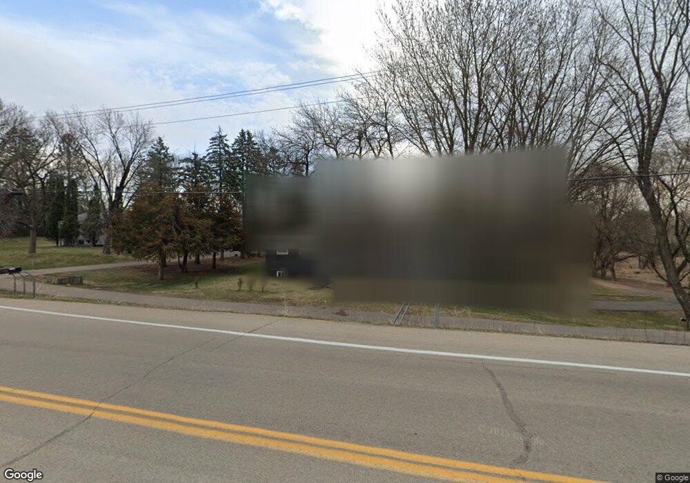
6691 Powers Blvd Chanhassen, MN 55317
Estimated Value: $413,094 - $470,000
3
Beds
2
Baths
1,056
Sq Ft
$414/Sq Ft
Est. Value
About This Home
This home is located at 6691 Powers Blvd, Chanhassen, MN 55317 and is currently estimated at $437,274, approximately $414 per square foot. 6691 Powers Blvd is a home located in Carver County with nearby schools including Excelsior Elementary School, Minnetonka West Middle School, and Minnetonka Senior High School.
Ownership History
Date
Name
Owned For
Owner Type
Purchase Details
Closed on
Sep 18, 2017
Sold by
Hays Wayne F
Bought by
Blunt Patrick and Blunt Julia
Current Estimated Value
Home Financials for this Owner
Home Financials are based on the most recent Mortgage that was taken out on this home.
Original Mortgage
$251,750
Outstanding Balance
$210,229
Interest Rate
3.9%
Mortgage Type
New Conventional
Estimated Equity
$227,045
Create a Home Valuation Report for This Property
The Home Valuation Report is an in-depth analysis detailing your home's value as well as a comparison with similar homes in the area
Home Values in the Area
Average Home Value in this Area
Purchase History
| Date | Buyer | Sale Price | Title Company |
|---|---|---|---|
| Blunt Patrick | $265,000 | Dca Title |
Source: Public Records
Mortgage History
| Date | Status | Borrower | Loan Amount |
|---|---|---|---|
| Open | Blunt Patrick | $251,750 |
Source: Public Records
Tax History Compared to Growth
Tax History
| Year | Tax Paid | Tax Assessment Tax Assessment Total Assessment is a certain percentage of the fair market value that is determined by local assessors to be the total taxable value of land and additions on the property. | Land | Improvement |
|---|---|---|---|---|
| 2025 | $3,650 | $363,700 | $156,800 | $206,900 |
| 2024 | $3,602 | $351,200 | $142,500 | $208,700 |
| 2023 | $3,564 | $349,400 | $142,500 | $206,900 |
| 2022 | $3,394 | $347,200 | $138,000 | $209,200 |
| 2021 | $2,898 | $257,900 | $100,700 | $157,200 |
| 2020 | $2,950 | $257,400 | $100,700 | $156,700 |
| 2019 | $2,868 | $247,300 | $95,900 | $151,400 |
| 2018 | $2,970 | $247,300 | $95,900 | $151,400 |
| 2017 | $2,462 | $234,400 | $86,900 | $147,500 |
| 2016 | $2,318 | $180,500 | $0 | $0 |
| 2015 | $2,196 | $178,300 | $0 | $0 |
| 2014 | $2,196 | $159,800 | $0 | $0 |
Source: Public Records
Map
Nearby Homes
- 1000 Carver Beach Rd
- 6491 Bretton Way
- 1350 Heather Ct
- 6690 Nez Perce Dr
- 6430 Bretton Way
- 834 Cree Dr
- 1042 Pontiac Ln
- 1003 Pontiac Ln
- 7104 Pontiac Cir
- 7291 Pontiac Cir
- 6470 Yosemite
- 6480 Yosemite
- 6456 Yosemite Ln
- 970 Pleasantview Rd
- 601 Fox Hill Dr
- 760 Bighorn Dr
- 460 Indian Hill Rd
- 450 Indian Hill Rd
- 6620 Horseshoe Curve
- 6060 Ridge Rd
- 6681 Powers Blvd
- 1092 Shenendoah Cir
- 6680 Golden Ct
- 1121 Lake Lucy Rd
- 6711 Golden Ct
- 6630 Treetop Rd
- 1101 Lake Lucy Rd
- 6690 Golden Ct
- 1081 Lake Lucy Rd
- 6721 Golden Ct
- 6610 Treetop Rd
- 1040 Western Dr
- 6731 Golden Ct
- 1100 Lake Lucy Rd
- 6700 Golden Ct
- 1061 Lake Lucy Rd
- 1080 Lake Lucy Rd
- 1215 Lake Lucy Rd
- xxxx Golden Ct
- 6710 Golden Ct