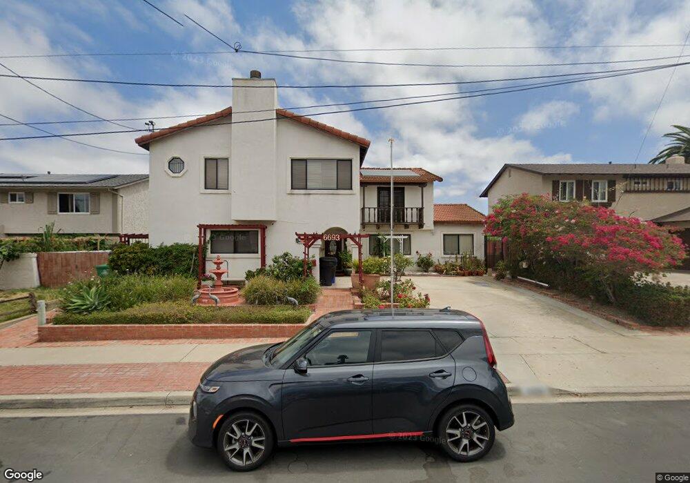
6693 Fisk Ave San Diego, CA 92122
University City NeighborhoodEstimated Value: $1,869,000 - $1,983,000
5
Beds
4
Baths
2,693
Sq Ft
$711/Sq Ft
Est. Value
About This Home
This home is located at 6693 Fisk Ave, San Diego, CA 92122 and is currently estimated at $1,915,546, approximately $711 per square foot. 6693 Fisk Ave is a home located in San Diego County with nearby schools including Spreckels Elementary School, Standley Middle School, and University City High School.
Ownership History
Date
Name
Owned For
Owner Type
Purchase Details
Closed on
Jan 28, 2014
Sold by
Maus Albert N and Maus Ana C
Bought by
Maus Albert N and Maus Ana C
Current Estimated Value
Purchase Details
Closed on
Mar 14, 1998
Sold by
Maus Living Trust 10-26-92 and Albert N
Bought by
Maus Albert N and Maus Ana C
Home Financials for this Owner
Home Financials are based on the most recent Mortgage that was taken out on this home.
Original Mortgage
$40,000
Interest Rate
6.67%
Purchase Details
Closed on
Apr 8, 1997
Sold by
Maus Albert N and Maus Ana C
Bought by
Maus Albert N and Maus Ana C
Purchase Details
Closed on
Jul 19, 1996
Sold by
Coastal Investments Llc
Bought by
Maus Albert N and Maus Ana C
Home Financials for this Owner
Home Financials are based on the most recent Mortgage that was taken out on this home.
Original Mortgage
$141,000
Outstanding Balance
$10,249
Interest Rate
8.3%
Estimated Equity
$1,905,297
Create a Home Valuation Report for This Property
The Home Valuation Report is an in-depth analysis detailing your home's value as well as a comparison with similar homes in the area
Home Values in the Area
Average Home Value in this Area
Purchase History
| Date | Buyer | Sale Price | Title Company |
|---|---|---|---|
| Maus Albert N | -- | None Available | |
| Maus Albert N | -- | Chicago Title | |
| Maus Albert N | -- | -- | |
| Maus Albert N | $216,000 | Chicago Title Co |
Source: Public Records
Mortgage History
| Date | Status | Borrower | Loan Amount |
|---|---|---|---|
| Closed | Maus Albert N | $40,000 | |
| Open | Maus Albert N | $141,000 |
Source: Public Records
Tax History Compared to Growth
Tax History
| Year | Tax Paid | Tax Assessment Tax Assessment Total Assessment is a certain percentage of the fair market value that is determined by local assessors to be the total taxable value of land and additions on the property. | Land | Improvement |
|---|---|---|---|---|
| 2025 | $4,840 | $406,232 | $149,893 | $256,339 |
| 2024 | $4,840 | $398,267 | $146,954 | $251,313 |
| 2023 | $4,731 | $390,459 | $144,073 | $246,386 |
| 2022 | $4,604 | $382,804 | $141,249 | $241,555 |
| 2021 | $4,571 | $375,299 | $138,480 | $236,819 |
| 2020 | $4,515 | $371,452 | $137,061 | $234,391 |
| 2019 | $4,433 | $364,170 | $134,374 | $229,796 |
| 2018 | $4,144 | $357,031 | $131,740 | $225,291 |
| 2017 | $4,044 | $350,031 | $129,157 | $220,874 |
| 2016 | $3,977 | $343,169 | $126,625 | $216,544 |
| 2015 | $3,918 | $338,015 | $124,723 | $213,292 |
| 2014 | $3,855 | $331,394 | $122,280 | $209,114 |
Source: Public Records
Map
Nearby Homes
- 6547 Radcliffe Dr
- 6614 Dennison St
- 6330 Genesee Ave Unit 319
- 6330 Genesee Ave Unit 220
- 6330 Genesee Ave Unit 119
- 6330 Genesee Ave Unit 112
- 6330 Genesee Ave Unit 213
- 6350 Genesee Ave Unit 107
- 6330 Genesee Ave Unit 103
- 6188 Agee St Unit 230
- 6190 Agee St Unit 260
- 6214 Agee St Unit 34
- 4282 Robbins St
- 4224 Governor Dr
- 3542 Governor Dr
- 7132 Calabria Ct
- 7182 Calabria Ct Unit A
- 7915 Camino Kiosco
- 7224 Shoreline Dr Unit 172
- 7285 Calabria Ct Unit 18