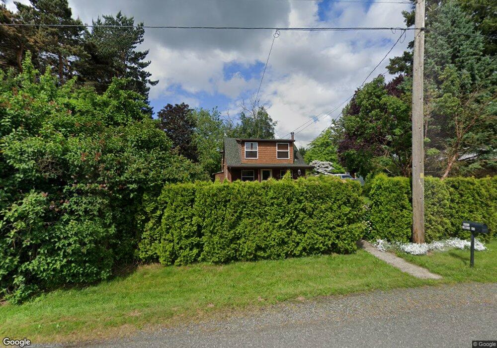
6695 Lunde Rd Everson, WA 98247
Estimated Value: $488,000 - $596,000
3
Beds
2
Baths
1,600
Sq Ft
$341/Sq Ft
Est. Value
About This Home
This home is located at 6695 Lunde Rd, Everson, WA 98247 and is currently estimated at $545,029, approximately $340 per square foot. 6695 Lunde Rd is a home located in Whatcom County with nearby schools including Irene Reither Elementary School, Meridian Middle School, and Meridian High School.
Ownership History
Date
Name
Owned For
Owner Type
Purchase Details
Closed on
Mar 22, 2010
Sold by
Flickinger Caroline S and Abbott Caroline
Bought by
Swenson Valarie J
Current Estimated Value
Home Financials for this Owner
Home Financials are based on the most recent Mortgage that was taken out on this home.
Original Mortgage
$237,200
Outstanding Balance
$155,033
Interest Rate
4.94%
Mortgage Type
New Conventional
Estimated Equity
$389,996
Purchase Details
Closed on
Nov 12, 2009
Sold by
Flickinger Kim
Bought by
Flickinger Caroline S
Create a Home Valuation Report for This Property
The Home Valuation Report is an in-depth analysis detailing your home's value as well as a comparison with similar homes in the area
Purchase History
| Date | Buyer | Sale Price | Title Company |
|---|---|---|---|
| Swenson Valarie J | $296,780 | First American Title Insuran | |
| Flickinger Caroline S | -- | None Available |
Source: Public Records
Mortgage History
| Date | Status | Borrower | Loan Amount |
|---|---|---|---|
| Open | Swenson Valarie J | $237,200 |
Source: Public Records
Tax History
| Year | Tax Paid | Tax Assessment Tax Assessment Total Assessment is a certain percentage of the fair market value that is determined by local assessors to be the total taxable value of land and additions on the property. | Land | Improvement |
|---|---|---|---|---|
| 2025 | $4,092 | $494,636 | $277,200 | $217,436 |
| 2024 | $3,134 | $464,133 | $252,000 | $212,133 |
| 2023 | $3,134 | $402,132 | $182,583 | $219,549 |
| 2022 | $3,011 | $362,287 | $164,492 | $197,795 |
| 2021 | $2,679 | $299,415 | $135,946 | $163,469 |
| 2020 | $2,670 | $243,429 | $110,526 | $132,903 |
| 2019 | $2,265 | $243,429 | $110,526 | $132,903 |
| 2018 | $2,945 | $225,752 | $102,500 | $123,252 |
| 2017 | $2,543 | $223,518 | $107,069 | $116,449 |
| 2016 | $2,460 | $204,236 | $97,819 | $106,417 |
| 2015 | $2,486 | $196,674 | $94,350 | $102,324 |
| 2014 | -- | $192,818 | $92,500 | $100,318 |
| 2013 | -- | $192,818 | $92,500 | $100,318 |
Source: Public Records
Map
Nearby Homes
- 1375 Ten Mile Rd
- 1383 Ten Mile Rd
- 6849 Raspberry Dr
- 1817 Central Rd
- 1822 E Pole Rd
- 6917 Red Ridge Dr
- 6778 La Monte Dr
- 6743 La Bello Dr
- 7343 Hannegan Rd Unit 2
- 7393 Hannegan Rd
- 1302 Night Hawk Way
- 765 van Dyk Rd
- 1203 Red Tail Ct
- 6049 Medcalf Rd
- 1005 Night Hawk Way
- 5774 Denali Ln
- 809 Pine Crest Dr
- 5750 Denali Ln
- 5747 Denali Ln
- 5818 Everson Goshen Rd
Your Personal Tour Guide
Ask me questions while you tour the home.