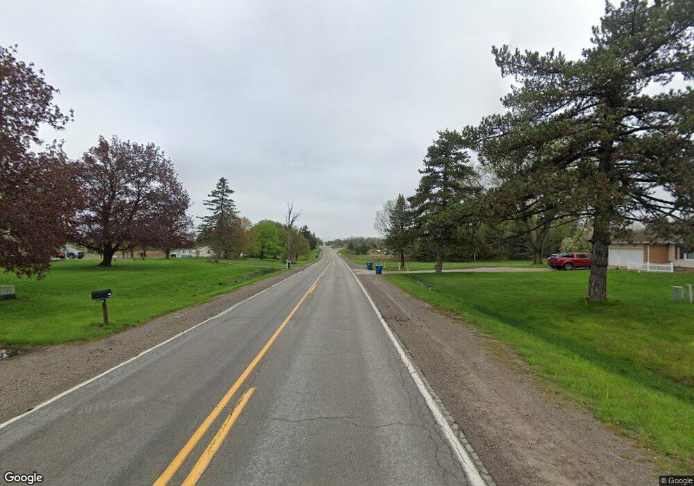
6697 S Sheridan Ave Durand, MI 48429
Estimated Value: $201,000 - $244,182
--
Bed
--
Bath
1,176
Sq Ft
$186/Sq Ft
Est. Value
About This Home
This home is located at 6697 S Sheridan Ave, Durand, MI 48429 and is currently estimated at $219,296, approximately $186 per square foot. 6697 S Sheridan Ave is a home located in Genesee County with nearby schools including Bertha Neal Elementary School, Robert Kerr School, and Durand Middle School.
Ownership History
Date
Name
Owned For
Owner Type
Purchase Details
Closed on
May 17, 2018
Sold by
Joshua R Monroe
Bought by
Sabaj Jacob
Current Estimated Value
Home Financials for this Owner
Home Financials are based on the most recent Mortgage that was taken out on this home.
Original Mortgage
$142,929
Outstanding Balance
$123,656
Interest Rate
4.61%
Estimated Equity
$95,640
Purchase Details
Closed on
Jan 10, 2003
Sold by
Elliott Alfred J and Elliott Joan
Bought by
Dine Vincent T
Home Financials for this Owner
Home Financials are based on the most recent Mortgage that was taken out on this home.
Original Mortgage
$121,750
Interest Rate
5.75%
Create a Home Valuation Report for This Property
The Home Valuation Report is an in-depth analysis detailing your home's value as well as a comparison with similar homes in the area
Home Values in the Area
Average Home Value in this Area
Purchase History
| Date | Buyer | Sale Price | Title Company |
|---|---|---|---|
| Sabaj Jacob | $141,500 | -- | |
| Dine Vincent T | $124,900 | -- |
Source: Public Records
Mortgage History
| Date | Status | Borrower | Loan Amount |
|---|---|---|---|
| Open | Sabaj Jacob | $142,929 | |
| Closed | Sabaj Jacob | -- | |
| Previous Owner | Dine Vincent T | $121,750 |
Source: Public Records
Tax History Compared to Growth
Tax History
| Year | Tax Paid | Tax Assessment Tax Assessment Total Assessment is a certain percentage of the fair market value that is determined by local assessors to be the total taxable value of land and additions on the property. | Land | Improvement |
|---|---|---|---|---|
| 2025 | $4,523 | $131,000 | $0 | $0 |
| 2024 | $937 | $114,000 | $0 | $0 |
| 2023 | $894 | $106,900 | $0 | $0 |
| 2022 | $2,638 | $94,100 | $0 | $0 |
| 2021 | $2,518 | $88,400 | $0 | $0 |
| 2020 | $818 | $86,200 | $0 | $0 |
| 2019 | $805 | $80,700 | $0 | $0 |
| 2018 | $2,263 | $77,000 | $0 | $0 |
| 2017 | $2,120 | $76,400 | $0 | $0 |
| 2016 | $2,142 | $74,200 | $0 | $0 |
| 2015 | $1,929 | $67,300 | $0 | $0 |
| 2014 | $742 | $65,200 | $0 | $0 |
| 2012 | -- | $62,000 | $62,000 | $0 |
Source: Public Records
Map
Nearby Homes
- 11637 E Lansing Rd
- 11508 Grand Blanc Rd
- 4950 Brown Rd
- 8327 Duffield Rd
- 0 S New Lothrop Rd Unit 20251050266
- 9774 E Lansing Rd
- 10529 Hill Rd
- 11415 Miller Rd
- 10001 Goodall Unit 77
- 10208 Reid Rd
- 9710 E Newburg Rd
- 5051 Nichols Rd
- 301 N Fitch St
- 4101 S Sheridan Rd Unit 132
- 1128 N Saginaw St
- 106 E Summit St
- 9680 Newburg Rd
- 513 N Mercer St
- 106 Marquette St
- 209 N Marquette St
- 6519 S Sheridan Ave
- 6555 S Sheridan Ave
- 6547 S Sheridan Ave
- 6705 S Sheridan Ave
- 6535 S Sheridan Ave
- 6507 S Sheridan Ave Unit Bldg-Unit
- 6507 S Sheridan Ave
- 7029 S Sheridan Ave
- 12400 W Reid Rd
- 5114 S County Line Rd
- 6493 S Sheridan Ave
- 12390 W Reid Rd
- 12390 W Reid Rd
- 12376 W Reid Rd
- 12358 W Reid Rd
- 6517 S Sheridan Ave
- 6401 S Sheridan Ave
- 12340 W Reid Rd
- 6399 S Sheridan Ave
- 6399 S Sheridan Ave
