6697 Table Rock Rd Central Point, OR 97502
Estimated Value: $280,000 - $739,000
4
Beds
3
Baths
1,188
Sq Ft
$369/Sq Ft
Est. Value
About This Home
This home is located at 6697 Table Rock Rd, Central Point, OR 97502 and is currently estimated at $438,611, approximately $369 per square foot. 6697 Table Rock Rd is a home located in Jackson County with nearby schools including Sams Valley Elementary School, Scenic Middle School, and Crater High School.
Ownership History
Date
Name
Owned For
Owner Type
Purchase Details
Closed on
Jul 23, 2007
Sold by
Hathaway Ann L
Bought by
Hathaway Ann L and Ann L Hathaway Revocable Trust
Current Estimated Value
Purchase Details
Closed on
Dec 10, 2002
Sold by
Hathaway Delma L
Bought by
Hathaway Delma L and Delma L Hathaway Revocable Trust
Purchase Details
Closed on
Jul 22, 2002
Sold by
Walker Richard A and Walker Gloria L
Bought by
Hathaway Delma L
Home Financials for this Owner
Home Financials are based on the most recent Mortgage that was taken out on this home.
Original Mortgage
$45,000
Interest Rate
6.7%
Mortgage Type
Seller Take Back
Create a Home Valuation Report for This Property
The Home Valuation Report is an in-depth analysis detailing your home's value as well as a comparison with similar homes in the area
Purchase History
| Date | Buyer | Sale Price | Title Company |
|---|---|---|---|
| Hathaway Ann L | -- | None Available | |
| Hathaway Delma L | -- | -- | |
| Hathaway Delma L | $250,000 | Jackson County Title |
Source: Public Records
Mortgage History
| Date | Status | Borrower | Loan Amount |
|---|---|---|---|
| Closed | Hathaway Delma L | $45,000 |
Source: Public Records
Tax History
| Year | Tax Paid | Tax Assessment Tax Assessment Total Assessment is a certain percentage of the fair market value that is determined by local assessors to be the total taxable value of land and additions on the property. | Land | Improvement |
|---|---|---|---|---|
| 2026 | $2,208 | $150,392 | -- | -- |
| 2025 | $2,159 | $175,633 | $9,633 | $166,000 |
| 2024 | $2,159 | $170,634 | $9,464 | $161,170 |
| 2023 | $2,089 | $165,787 | $9,307 | $156,480 |
| 2022 | $2,046 | $165,787 | $9,307 | $156,480 |
| 2021 | $1,990 | $161,079 | $9,149 | $151,930 |
| 2020 | $1,933 | $156,513 | $9,003 | $147,510 |
| 2019 | $1,890 | $147,770 | $8,710 | $139,060 |
| 2018 | $1,833 | $143,584 | $8,574 | $135,010 |
| 2017 | $1,791 | $143,584 | $8,574 | $135,010 |
| 2016 | $1,740 | $135,575 | $8,315 | $127,260 |
| 2015 | $1,263 | $135,575 | $8,315 | $127,260 |
| 2014 | -- | $97,357 | $8,067 | $89,290 |
Source: Public Records
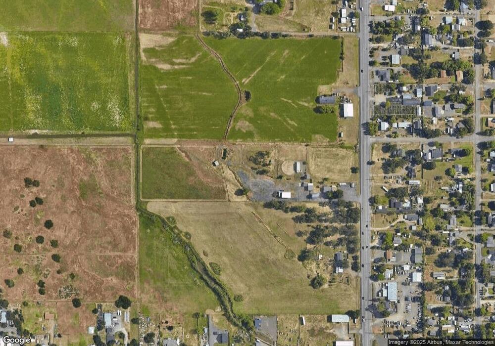
Map
Nearby Homes
- 380 W Gregory Rd Unit 1
- 594 W Gregory Rd
- 6850 Downing Rd Unit 11
- 6850 Downing Rd Unit SPC 31
- 6850 Downing Rd Unit 7
- 6850 Downing Rd Unit 25
- 6850 Downing Rd Unit 65
- 1729 E Gregory Rd
- 225 Wilson Rd
- 549 Wilson Rd
- 2460 Jeremy St
- 1617 Tennessee Ln
- 1653 Kentucky Ct
- 2335 New Haven Dr
- 2311 Lara Ln
- 1917 Bobcat Way
- 1921 Bobcat Way
- 10068 SE Pavati Dr Unit 37
- 9674 SE Pavati Dr Unit 41
- 10098 SE Pavati Dr Unit 36
- 6833 Table Rock Rd
- 6684 Table Rock Rd
- 6704 Table Rock Rd
- 25 Laurelhurst St
- 100 Laurelhurst St
- 6662 Table Rock Rd
- 6740 Table Rock Rd
- 6664 Table Rock Rd
- 6626 Table Rock Rd
- 6608 Table Rock Rd
- 6590 Table Rock 6600 Rd
- 6590 Table Rock 6600 Rd
- 6808 Table Rock Rd
- 6590 Table Rock Rd
- 57 Laurelhurst St
- 106 Laurelhurst St
- 6832 Table Rock Rd
- 6721 Pinehurst St
- 6663 Pinehurst St
- 6655 Pinehurst St
Your Personal Tour Guide
Ask me questions while you tour the home.