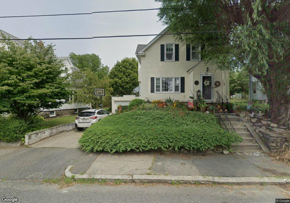
67 Airlie St Worcester, MA 01606
Greendale NeighborhoodEstimated Value: $433,000 - $512,000
3
Beds
3
Baths
2,200
Sq Ft
$213/Sq Ft
Est. Value
About This Home
This home is located at 67 Airlie St, Worcester, MA 01606 and is currently estimated at $469,348, approximately $213 per square foot. 67 Airlie St is a home located in Worcester County with nearby schools including Jacob Hiatt Magnet School, Chandler Magnet, and Thorndyke Road School.
Ownership History
Date
Name
Owned For
Owner Type
Purchase Details
Closed on
Apr 11, 2008
Sold by
Jones David E and Jones Jennifer D
Bought by
Vancelette Thomas M and Vancelette Zandra E
Current Estimated Value
Home Financials for this Owner
Home Financials are based on the most recent Mortgage that was taken out on this home.
Original Mortgage
$202,100
Interest Rate
6.3%
Mortgage Type
Purchase Money Mortgage
Purchase Details
Closed on
May 9, 2003
Sold by
Taylor E Robert and Taylor Laura E
Bought by
Jones David E and Jones Jennifer D
Home Financials for this Owner
Home Financials are based on the most recent Mortgage that was taken out on this home.
Original Mortgage
$183,600
Interest Rate
5.93%
Mortgage Type
Purchase Money Mortgage
Create a Home Valuation Report for This Property
The Home Valuation Report is an in-depth analysis detailing your home's value as well as a comparison with similar homes in the area
Home Values in the Area
Average Home Value in this Area
Purchase History
| Date | Buyer | Sale Price | Title Company |
|---|---|---|---|
| Vancelette Thomas M | $215,000 | -- | |
| Jones David E | $204,000 | -- |
Source: Public Records
Mortgage History
| Date | Status | Borrower | Loan Amount |
|---|---|---|---|
| Open | Vancelette Thomas M | $202,100 | |
| Previous Owner | Jones David E | $183,600 |
Source: Public Records
Tax History Compared to Growth
Tax History
| Year | Tax Paid | Tax Assessment Tax Assessment Total Assessment is a certain percentage of the fair market value that is determined by local assessors to be the total taxable value of land and additions on the property. | Land | Improvement |
|---|---|---|---|---|
| 2025 | $4,973 | $377,000 | $108,900 | $268,100 |
| 2024 | $4,756 | $345,900 | $108,900 | $237,000 |
| 2023 | $4,573 | $318,900 | $94,700 | $224,200 |
| 2022 | $4,216 | $277,200 | $75,700 | $201,500 |
| 2021 | $4,150 | $254,900 | $60,600 | $194,300 |
| 2020 | $3,944 | $232,000 | $60,600 | $171,400 |
| 2019 | $3,787 | $210,400 | $54,500 | $155,900 |
| 2018 | $3,774 | $199,600 | $54,500 | $145,100 |
| 2017 | $3,608 | $187,700 | $54,500 | $133,200 |
| 2016 | $3,619 | $175,600 | $41,100 | $134,500 |
| 2015 | $3,524 | $175,600 | $41,100 | $134,500 |
| 2014 | $3,431 | $175,600 | $41,100 | $134,500 |
Source: Public Records
Map
Nearby Homes
- 63 Airlie St
- 71 Airlie St
- 75 Airlie St
- 28 Greendale Ave
- 26 Greendale Ave
- 30 Greendale Ave
- 70 Airlie St
- 96 Leeds St
- 92 Leeds St
- 74 Airlie St
- 32 Greendale Ave
- 68 Airlie St
- 79 Airlie St
- 24 Greendale Ave
- 34 Greendale Ave
- 34 Greendale Ave Unit 1
- 54 Airlie St
- 36 Greendale Ave
- 87 Airlie St
- 29 Greendale Ave