67 Allen Point Rd Harpswell, ME 04079
Harpswell Neck NeighborhoodEstimated Value: $801,000 - $1,042,397
4
Beds
2
Baths
1,679
Sq Ft
$535/Sq Ft
Est. Value
About This Home
This home is located at 67 Allen Point Rd, Harpswell, ME 04079 and is currently estimated at $898,849, approximately $535 per square foot. 67 Allen Point Rd is a home with nearby schools including Mt Ararat High School.
Ownership History
Date
Name
Owned For
Owner Type
Purchase Details
Closed on
Apr 10, 2025
Sold by
Credit Shelter T and Andrew
Bought by
Andrew Deborah L and Andrew Paul J
Current Estimated Value
Purchase Details
Closed on
Apr 10, 2006
Sold by
Gloria Andrew T and Gloria Andrew
Bought by
Gloria Andrew T and Gloria Andrew
Create a Home Valuation Report for This Property
The Home Valuation Report is an in-depth analysis detailing your home's value as well as a comparison with similar homes in the area
Home Values in the Area
Average Home Value in this Area
Purchase History
| Date | Buyer | Sale Price | Title Company |
|---|---|---|---|
| Andrew Deborah L | -- | None Available | |
| Andrew Deborah L | -- | None Available | |
| Gloria Andrew T | -- | -- | |
| Gloria Andrew T | -- | -- |
Source: Public Records
Tax History Compared to Growth
Tax History
| Year | Tax Paid | Tax Assessment Tax Assessment Total Assessment is a certain percentage of the fair market value that is determined by local assessors to be the total taxable value of land and additions on the property. | Land | Improvement |
|---|---|---|---|---|
| 2024 | $5,758 | $905,400 | $730,900 | $174,500 |
| 2023 | $5,521 | $905,100 | $730,600 | $174,500 |
| 2022 | $5,342 | $905,400 | $730,900 | $174,500 |
| 2021 | $5,760 | $852,100 | $720,700 | $131,400 |
| 2020 | $5,742 | $852,000 | $720,600 | $131,400 |
| 2019 | $5,706 | $851,700 | $720,300 | $131,400 |
| 2018 | $5,520 | $851,900 | $720,500 | $131,400 |
| 2017 | $5,500 | $851,400 | $720,000 | $131,400 |
| 2016 | $5,445 | $850,800 | $719,400 | $131,400 |
| 2015 | $5,290 | $847,800 | $716,400 | $131,400 |
| 2013 | $4,912 | $849,800 | $716,600 | $133,200 |
Source: Public Records
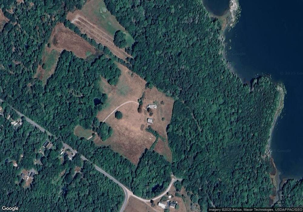
Map
Nearby Homes
- Lot 2A Allen Point Rd
- Lot 2B Allen Point Rd
- Lot 129 Harpswell Neck Rd
- 41 Spruce Brook Dr
- 1 Mallard Pond Rd
- 0 Bayview Rd Unit 2 1632776
- 1689 Harpswell Islands Rd
- lot C Long Point Rd
- 1450 Harpswell Neck Rd
- 11 Orion Point Way
- 87 Lowells Cove Rd
- 20 Long Point Island
- Map 80 Lot 18-0 White Island
- 83 Central Ave
- 46 Blackstone Club Rd
- 30 Osbourne Row
- 270 Harpswell Neck Rd
- 10 Irene Ave
- 16 Ash Point Rd Unit 16
- 18 Ash Point Rd
- 66 Merriman Cove Rd
- 00 Merriman Cove Rd
- 66 Allen Point Rd
- 72 Allen Point Rd
- 10 Merriman Cove Rd
- 89 Allen Point Rd
- 18 Merriman Cove Rd
- 4 Caron Place
- 18 Caron Place
- 46 Merriman Cove Rd
- 38 Allen Point Rd
- 18 Red Fox Run
- 50 Allen Point Rd
- 36 Derek Way
- 38 Derek Way
- 34 Allen Point Rd
- 0 Merriman Cove Rd
- 20 Derek Way
- 28 Red Fox Run
- 24 Allen Point Rd