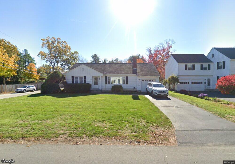
67 Arah St Manchester, NH 03104
Estimated Value: $440,750 - $503,000
2
Beds
2
Baths
1,142
Sq Ft
$404/Sq Ft
Est. Value
About This Home
This home is located at 67 Arah St, Manchester, NH 03104 and is currently estimated at $461,938, approximately $404 per square foot. 67 Arah St is a home located in Hillsborough County with nearby schools including Webster School, Hillside Middle School, and Manchester Central High School.
Ownership History
Date
Name
Owned For
Owner Type
Purchase Details
Closed on
Nov 12, 1997
Sold by
Field Est Frank A
Bought by
Mallory Patricia L
Current Estimated Value
Home Financials for this Owner
Home Financials are based on the most recent Mortgage that was taken out on this home.
Original Mortgage
$88,900
Outstanding Balance
$14,525
Interest Rate
7.23%
Estimated Equity
$447,413
Create a Home Valuation Report for This Property
The Home Valuation Report is an in-depth analysis detailing your home's value as well as a comparison with similar homes in the area
Purchase History
| Date | Buyer | Sale Price | Title Company |
|---|---|---|---|
| Mallory Patricia L | $89,000 | -- |
Source: Public Records
Mortgage History
| Date | Status | Borrower | Loan Amount |
|---|---|---|---|
| Open | Mallory Patricia L | $25,000 | |
| Open | Mallory Patricia L | $88,900 |
Source: Public Records
Tax History
| Year | Tax Paid | Tax Assessment Tax Assessment Total Assessment is a certain percentage of the fair market value that is determined by local assessors to be the total taxable value of land and additions on the property. | Land | Improvement |
|---|---|---|---|---|
| 2024 | $5,946 | $303,700 | $134,500 | $169,200 |
| 2023 | $5,728 | $303,700 | $134,500 | $169,200 |
| 2022 | $5,539 | $303,700 | $134,500 | $169,200 |
| 2021 | $5,369 | $303,700 | $134,500 | $169,200 |
| 2020 | $5,149 | $208,800 | $96,200 | $112,600 |
| 2019 | $5,078 | $208,800 | $96,200 | $112,600 |
| 2018 | $4,944 | $208,800 | $96,200 | $112,600 |
| 2017 | $4,869 | $208,800 | $96,200 | $112,600 |
| 2016 | $4,832 | $208,800 | $96,200 | $112,600 |
| 2015 | $4,510 | $192,400 | $82,500 | $109,900 |
| 2014 | $4,521 | $192,400 | $82,500 | $109,900 |
| 2013 | $4,362 | $192,400 | $82,500 | $109,900 |
Source: Public Records
Map
Nearby Homes
- 61 Whitford St
- 104 N Gate Rd
- 555 Straw Hill Rd
- 274 Ray St
- 6 Deerhead St
- 2159 Elm St
- 152 Straw Hill Rd
- 62 Harold St
- 142 Bicentennial Dr
- 88 Harold St
- 887 Chestnut St
- 490 River Rd Unit 31
- 974 Union St
- 141 Chase Way
- 190 Chase Way
- 19 W Stearns Ave
- 415 Pickering St
- 6 Ray St
- 300 River Rd Unit 106
- 278 Exchange Ave
Your Personal Tour Guide
Ask me questions while you tour the home.