67 Bedford Rd Lincoln, MA 01773
Estimated Value: $1,718,000 - $1,985,000
5
Beds
3
Baths
4,158
Sq Ft
$451/Sq Ft
Est. Value
About This Home
This home is located at 67 Bedford Rd, Lincoln, MA 01773 and is currently estimated at $1,876,218, approximately $451 per square foot. 67 Bedford Rd is a home located in Middlesex County with nearby schools including Lincoln-Sudbury Regional High School, Tremont School, and Concord Academy.
Ownership History
Date
Name
Owned For
Owner Type
Purchase Details
Closed on
May 4, 1992
Sold by
Nunes Geoffrey and Nunes Clare H
Bought by
Lie Henry and Boynton Lucy B
Current Estimated Value
Create a Home Valuation Report for This Property
The Home Valuation Report is an in-depth analysis detailing your home's value as well as a comparison with similar homes in the area
Home Values in the Area
Average Home Value in this Area
Purchase History
| Date | Buyer | Sale Price | Title Company |
|---|---|---|---|
| Lie Henry | $400,000 | -- |
Source: Public Records
Mortgage History
| Date | Status | Borrower | Loan Amount |
|---|---|---|---|
| Open | Lie Henry | $100,000 | |
| Closed | Lie Henry | $35,000 | |
| Closed | Lie Henry | $89,000 | |
| Previous Owner | Lie Henry | $761,000 |
Source: Public Records
Tax History
| Year | Tax Paid | Tax Assessment Tax Assessment Total Assessment is a certain percentage of the fair market value that is determined by local assessors to be the total taxable value of land and additions on the property. | Land | Improvement |
|---|---|---|---|---|
| 2025 | $223 | $1,740,000 | $1,029,700 | $710,300 |
| 2024 | $21,975 | $1,704,800 | $1,007,200 | $697,600 |
| 2023 | $20,084 | $1,442,800 | $855,200 | $587,600 |
| 2022 | $19,440 | $1,302,100 | $783,200 | $518,900 |
| 2021 | $21,039 | $1,355,600 | $815,200 | $540,400 |
| 2020 | $20,954 | $1,364,200 | $815,200 | $549,000 |
| 2019 | $18,611 | $1,326,500 | $812,000 | $514,500 |
| 2018 | $18,040 | $1,326,500 | $812,000 | $514,500 |
| 2017 | $18,080 | $1,319,700 | $812,000 | $507,700 |
| 2016 | $17,550 | $1,254,500 | $760,000 | $494,500 |
| 2015 | $16,575 | $1,171,400 | $704,800 | $466,600 |
| 2014 | $16,453 | $1,141,800 | $695,200 | $446,600 |
Source: Public Records
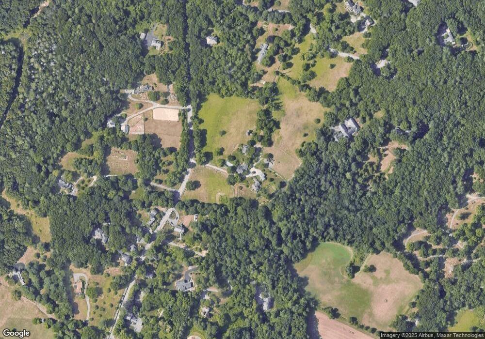
Map
Nearby Homes
- 23 Bedford Rd
- 89 Lexington Rd
- 22 Lincoln Rd
- 45 Weston Rd
- 84 Davison Dr
- 16 Old Cambridge Turnpike
- 10 Reiling Pond Rd
- 69 Page Rd
- 8 Silver Hill Rd
- 6 Smith Hill Rd
- 9 Garland Rd
- 45 Winter St
- 167 Lexington Rd N
- 29 S Commons Unit D
- 44 Baker Bridge Rd
- 5 South Commons Unit D
- 646 Cambridge Turnpike
- 77 Old County Rd
- 130 Tower Rd
- 212 Hawthorne Ln
Your Personal Tour Guide
Ask me questions while you tour the home.