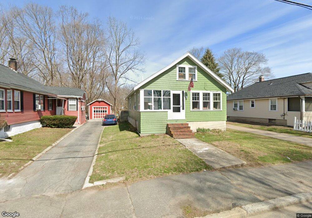
67 Brookside Ave Brockton, MA 02301
Campello NeighborhoodEstimated Value: $422,000 - $458,000
2
Beds
1
Bath
1,038
Sq Ft
$421/Sq Ft
Est. Value
About This Home
This home is located at 67 Brookside Ave, Brockton, MA 02301 and is currently estimated at $436,959, approximately $420 per square foot. 67 Brookside Ave is a home located in Plymouth County with nearby schools including Davis K-8 School, John F. Kennedy Elementary School, and South Middle School.
Ownership History
Date
Name
Owned For
Owner Type
Purchase Details
Closed on
Mar 31, 1998
Sold by
Mccormack T Amelia Est
Bought by
Farrar Brian P and Farrar Michelle
Current Estimated Value
Create a Home Valuation Report for This Property
The Home Valuation Report is an in-depth analysis detailing your home's value as well as a comparison with similar homes in the area
Home Values in the Area
Average Home Value in this Area
Purchase History
| Date | Buyer | Sale Price | Title Company |
|---|---|---|---|
| Farrar Brian P | $92,900 | -- |
Source: Public Records
Mortgage History
| Date | Status | Borrower | Loan Amount |
|---|---|---|---|
| Open | Farrar Brian P | $25,000 | |
| Open | Farrar Brian P | $170,000 | |
| Closed | Farrar Brian P | $163,000 | |
| Closed | Farrar Brian P | $112,665 |
Source: Public Records
Tax History Compared to Growth
Tax History
| Year | Tax Paid | Tax Assessment Tax Assessment Total Assessment is a certain percentage of the fair market value that is determined by local assessors to be the total taxable value of land and additions on the property. | Land | Improvement |
|---|---|---|---|---|
| 2025 | $4,364 | $360,400 | $136,800 | $223,600 |
| 2024 | $4,169 | $346,800 | $136,800 | $210,000 |
| 2023 | $4,006 | $308,600 | $102,200 | $206,400 |
| 2022 | $3,766 | $269,600 | $92,800 | $176,800 |
| 2021 | $3,481 | $240,100 | $76,700 | $163,400 |
| 2020 | $3,272 | $216,000 | $72,300 | $143,700 |
| 2019 | $3,086 | $198,600 | $70,000 | $128,600 |
| 2018 | $2,786 | $173,500 | $70,000 | $103,500 |
| 2017 | $2,563 | $159,200 | $70,000 | $89,200 |
| 2016 | $2,451 | $141,200 | $67,800 | $73,400 |
| 2015 | $2,372 | $130,700 | $67,800 | $62,900 |
| 2014 | $2,339 | $129,000 | $67,800 | $61,200 |
Source: Public Records
Map
Nearby Homes
- 35 Longworth Ave Unit 17
- 15 Longworth Ave Unit 231
- 57 Copeland St
- 47 Southworth St
- 115 Market St
- 115 Leach Ave
- 358 Copeland St
- 163 S Leyden St
- 223 Clinton St Unit 10
- 223 Clinton St Unit 3
- 65 Tremont St
- 58 Calmar St
- 977 Warren Ave
- 13 Finny's Way
- 936 Warren Ave
- 15 Fieldstone Dr
- 137 Channing Ave
- 103 Clinton St
- 1 Fairway Dr
- 44 Baker St
- 71 Brookside Ave
- 61 Brookside Ave
- 45 Irvington St
- 57 Brookside Ave
- 75 Brookside Ave
- 60 Brookside Ave
- 39 Irvington St
- 47 Brookside Ave
- 33 Irvington St
- 70 Brookside Ave
- 70 Brookside Ave
- 28 Kenwood St
- 85 Brookside Ave
- 45 Brookside Ave
- 0 Irvington St
- 27 Irvington St
- 44 Brookside Ave
- 22 Kenwood St
- 41 Brookside Ave
- 80 Brookside Ave