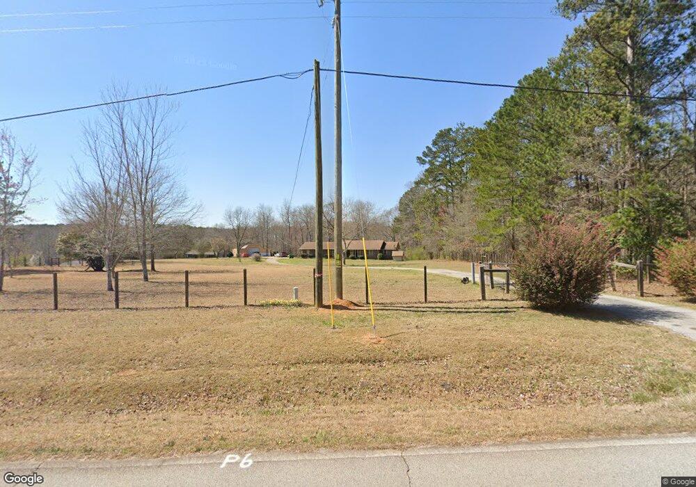
67 Bryans Dr McDonough, GA 30252
Estimated Value: $328,000 - $392,000
3
Beds
2
Baths
2,001
Sq Ft
$181/Sq Ft
Est. Value
About This Home
This home is located at 67 Bryans Dr, McDonough, GA 30252 and is currently estimated at $362,060, approximately $180 per square foot. 67 Bryans Dr is a home located in Henry County with nearby schools including East Lake Elementary School, Union Grove Middle School, and Union Grove High School.
Ownership History
Date
Name
Owned For
Owner Type
Purchase Details
Closed on
Apr 13, 2009
Sold by
Via Howard R
Bought by
Chandler Raymond L
Current Estimated Value
Home Financials for this Owner
Home Financials are based on the most recent Mortgage that was taken out on this home.
Original Mortgage
$165,890
Outstanding Balance
$106,213
Interest Rate
5.18%
Mortgage Type
Trade
Estimated Equity
$255,847
Purchase Details
Closed on
Nov 11, 2003
Sold by
Britt Betty T
Bought by
Via Howard R
Home Financials for this Owner
Home Financials are based on the most recent Mortgage that was taken out on this home.
Original Mortgage
$221,478
Interest Rate
5.98%
Create a Home Valuation Report for This Property
The Home Valuation Report is an in-depth analysis detailing your home's value as well as a comparison with similar homes in the area
Home Values in the Area
Average Home Value in this Area
Purchase History
| Date | Buyer | Sale Price | Title Company |
|---|---|---|---|
| Chandler Raymond L | $165,900 | -- | |
| Via Howard R | $275,000 | -- |
Source: Public Records
Mortgage History
| Date | Status | Borrower | Loan Amount |
|---|---|---|---|
| Open | Chandler Raymond L | $165,890 | |
| Previous Owner | Via Howard R | $221,478 |
Source: Public Records
Tax History Compared to Growth
Tax History
| Year | Tax Paid | Tax Assessment Tax Assessment Total Assessment is a certain percentage of the fair market value that is determined by local assessors to be the total taxable value of land and additions on the property. | Land | Improvement |
|---|---|---|---|---|
| 2025 | $4,412 | $163,080 | $16,520 | $146,560 |
| 2024 | $4,412 | $147,760 | $13,440 | $134,320 |
| 2023 | $3,589 | $143,240 | $12,960 | $130,280 |
| 2022 | $3,592 | $122,000 | $11,960 | $110,040 |
| 2021 | $3,138 | $102,800 | $10,280 | $92,520 |
| 2020 | $2,879 | $91,840 | $9,680 | $82,160 |
| 2019 | $2,894 | $92,440 | $9,160 | $83,280 |
| 2018 | $2,585 | $79,360 | $8,480 | $70,880 |
| 2016 | $2,429 | $72,760 | $6,920 | $65,840 |
| 2015 | $2,526 | $74,360 | $7,520 | $66,840 |
| 2014 | $2,358 | $66,280 | $7,520 | $58,760 |
Source: Public Records
Map
Nearby Homes
- 280 W Knight Rd
- 1650 Campground Rd
- 1422 New Holland Cir
- 4114 Valleyview Ct
- 100 Homesite Valleyview Ct
- Addison Plan at Brush Arbor
- Violet Plan at Brush Arbor
- Penelope Plan at Brush Arbor
- 175 Moss Dr
- 40 New Salem Dr
- 565 Elliott Rd
- 2001 Brush Arbor Dr
- 82 S Salem Dr
- 106 April Walk
- 104 Accolade Pkwy
- 167 E Lake Rd
- 112 Accolade Pkwy
- 0 Price Quarters Rd Unit 10619293
- 0 Price Quarters Rd Unit 7672640
- 210 Enfield Ln
- 113 Bryans Dr
- 131 Bryans Dr
- 1255 Campground Rd
- 1285 Campground Rd
- 123 Bryans Dr
- 80 Bryans Dr
- 96 Bryans Dr
- 56 Bryans Dr
- 72 Bryans Dr
- 1205 Campground Rd
- 108 Bryans Dr
- 1425 Campground Rd
- 1195 Campground Rd
- 54 W Knight Rd
- 1208 Campground Rd
- 1330 Campground Rd
- 36 W Knight Rd
- 0 W Knight Rd Unit Tract 3 8629174
- 0 W Knight Rd Unit tract 2 8629171
- 0 W Knight Rd Unit tract 1 8629165