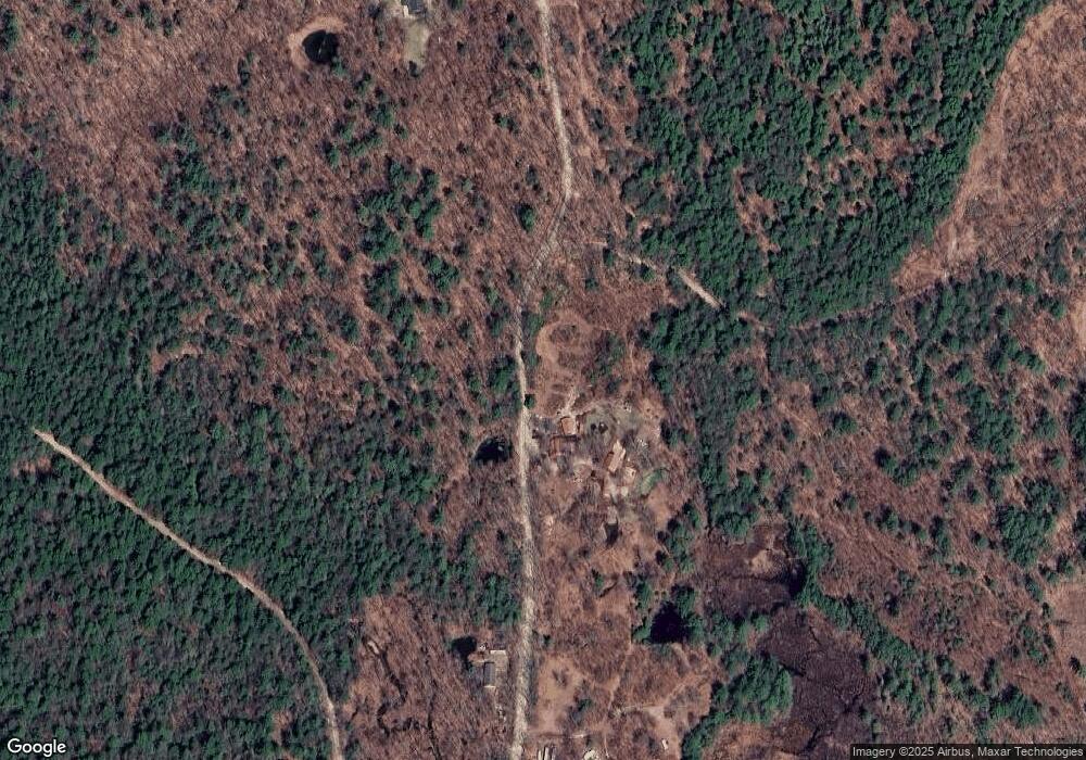
67 Carter Hill Rd Hillsborough, NH 03244
Hillsboro NeighborhoodEstimated Value: $189,000 - $525,000
4
Beds
2
Baths
2,299
Sq Ft
$172/Sq Ft
Est. Value
About This Home
This home is located at 67 Carter Hill Rd, Hillsborough, NH 03244 and is currently estimated at $395,143, approximately $171 per square foot. 67 Carter Hill Rd is a home located in Hillsborough County with nearby schools including Hillsboro-Deering Elementary School and Hillsboro-Deering High School.
Ownership History
Date
Name
Owned For
Owner Type
Purchase Details
Closed on
Jul 16, 2021
Sold by
Philbrick Jeremy T and Philbrick Rebecca H
Bought by
Philbrick Jeremy T and Philbrick Rebecca H
Current Estimated Value
Purchase Details
Closed on
Sep 16, 1999
Sold by
Farrar Fam Land Tr
Bought by
Philbrick Jeremy T and Philbrick Rebecca H
Create a Home Valuation Report for This Property
The Home Valuation Report is an in-depth analysis detailing your home's value as well as a comparison with similar homes in the area
Home Values in the Area
Average Home Value in this Area
Purchase History
| Date | Buyer | Sale Price | Title Company |
|---|---|---|---|
| Philbrick Jeremy T | -- | None Available | |
| Philbrick Jeremy T | $49,900 | -- |
Source: Public Records
Mortgage History
| Date | Status | Borrower | Loan Amount |
|---|---|---|---|
| Previous Owner | Philbrick Jeremy T | $281,600 | |
| Previous Owner | Philbrick Jeremy T | $61,000 | |
| Previous Owner | Philbrick Jeremy T | $60,000 |
Source: Public Records
Tax History Compared to Growth
Tax History
| Year | Tax Paid | Tax Assessment Tax Assessment Total Assessment is a certain percentage of the fair market value that is determined by local assessors to be the total taxable value of land and additions on the property. | Land | Improvement |
|---|---|---|---|---|
| 2024 | $6,900 | $206,335 | $57,535 | $148,800 |
| 2023 | $6,455 | $206,753 | $57,953 | $148,800 |
| 2022 | $5,565 | $208,492 | $59,692 | $148,800 |
| 2021 | $6,030 | $208,492 | $59,692 | $148,800 |
| 2020 | $5,991 | $208,526 | $59,726 | $148,800 |
| 2018 | $5,948 | $189,646 | $50,746 | $138,900 |
| 2017 | $3,119 | $189,455 | $50,555 | $138,900 |
| 2016 | $4,881 | $184,075 | $46,275 | $137,800 |
| 2015 | $5,355 | $184,330 | $46,530 | $137,800 |
| 2014 | $5,055 | $183,411 | $45,611 | $137,800 |
| 2013 | $5,143 | $183,295 | $74,895 | $108,400 |
Source: Public Records
Map
Nearby Homes
- 0 Spring St Unit 178 4855470
- 0 Spring St Unit 178 4855319
- 37 Autumn Rd
- 17 Autumn Rd
- 44 Huntington Dr
- 9 Hillside St
- 11 Hillside St
- 32 Deerpoint Dr
- 10 Melody Ln
- 0 Huntington Dr Unit 373 4855140
- 0 Huntington Dr Unit 307 4855146
- 17 Gould Pond Rd
- 337 Rowe Mountain Rd
- 32-33 Red Fox Crossing
- 98 Emerald Dr
- Lot 265 Midnight Walk
- 0 Raccoon Alley Unit 86 4855473
- 6 Birch Tree Ln
- 0 Kings Row Unit 151 4855040
- 19 Boulder Pass
- 30 Carter Hill Rd
- 110 Carter Hill Rd
- Lot #3 Carter Hill Rd
- Lot #2 Carter Hill Rd
- 234 Carter Hill Rd
- 860 Bog Rd
- 80 Sand Knoll Rd
- 844 Bog Rd
- 833 Bog Rd
- 83 Sand Knoll Rd
- 00 Dean Hill Rd
- 28 Kimball Hill Rd
- 641 Concord End Rd
- 52 Kimball Hill Rd
- 770 Bog Rd
- 43 Kimball Rd
- 756 Bog Rd
- 596 Concord End Rd
- 716 Bog Rd
- 562 County Rd
