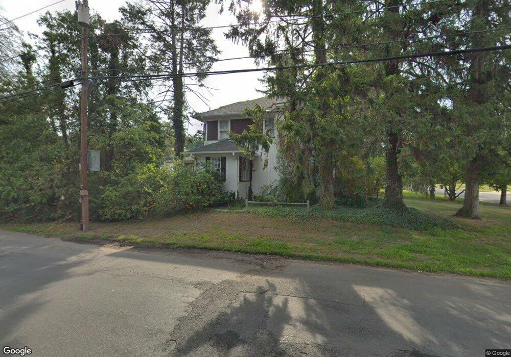
67 Chestnut St Bound Brook, NJ 08805
Estimated Value: $647,000 - $705,092
--
Bed
--
Bath
2,438
Sq Ft
$278/Sq Ft
Est. Value
About This Home
This home is located at 67 Chestnut St, Bound Brook, NJ 08805 and is currently estimated at $677,273, approximately $277 per square foot. 67 Chestnut St is a home located in Somerset County with nearby schools including LaMonte Annex Elementary School, Lafayette Elementary School, and Bound Brook High School.
Ownership History
Date
Name
Owned For
Owner Type
Purchase Details
Closed on
Feb 28, 1989
Sold by
Applegate John C and Applegate Stella B
Bought by
Fierst Robert M and Fierst Cynthia
Current Estimated Value
Create a Home Valuation Report for This Property
The Home Valuation Report is an in-depth analysis detailing your home's value as well as a comparison with similar homes in the area
Home Values in the Area
Average Home Value in this Area
Purchase History
| Date | Buyer | Sale Price | Title Company |
|---|---|---|---|
| Fierst Robert M | $237,500 | -- |
Source: Public Records
Tax History Compared to Growth
Tax History
| Year | Tax Paid | Tax Assessment Tax Assessment Total Assessment is a certain percentage of the fair market value that is determined by local assessors to be the total taxable value of land and additions on the property. | Land | Improvement |
|---|---|---|---|---|
| 2025 | $14,669 | $678,200 | $255,500 | $422,700 |
| 2024 | $14,669 | $646,500 | $235,500 | $411,000 |
| 2023 | $14,311 | $606,900 | $205,500 | $401,400 |
| 2022 | $13,995 | $562,500 | $180,500 | $382,000 |
| 2021 | $14,003 | $479,700 | $155,500 | $324,200 |
| 2020 | $13,533 | $438,400 | $140,500 | $297,900 |
| 2019 | $14,003 | $432,600 | $130,500 | $302,100 |
| 2018 | $14,230 | $426,800 | $120,500 | $306,300 |
| 2017 | $12,703 | $372,400 | $120,500 | $251,900 |
| 2016 | $13,199 | $389,800 | $110,500 | $279,300 |
| 2015 | $11,797 | $356,300 | $120,500 | $235,800 |
| 2014 | $12,231 | $356,800 | $121,000 | $235,800 |
Source: Public Records
Map
Nearby Homes
- 563 Winsor St
- 520 Winsor St
- 650 Central Ave
- 14 E Maple Ave
- 180 Farm Ln
- 112 E Union Ave
- 320 Church St
- 745 Schoolhouse Ln
- 112-114 E Union Ave
- 102 W Franklin St
- 307 W Union Ave
- 126 W High St
- 130 W High St Unit 132
- 811 Mountain Ave
- 606 Vosseller Ave
- 807 Watchung Rd
- 617 Vosseller Ave
- 40 van Keuren Ave Unit 42
- 143 Vosseller Ave
- 34 van Keuren Ave Unit 38
- 109 Chestnut St
- 107 Chestnut St
- 622 Winsor St
- 235 Chestnut St
- 110 Chestnut St
- 615 Central Ave
- 620 Winsor St
- 626 Winsor St
- 239 Chestnut St
- 625 Winsor St
- 567 Central Ave
- 566 Winsor St
- 241 Chestnut St
- 625 Central Ave
- 224 Chestnut St
- 563 Central Ave
- 562 Winsor St
- 634 Winsor St
- 245 Chestnut St
- 245 Chestnut St Unit 2