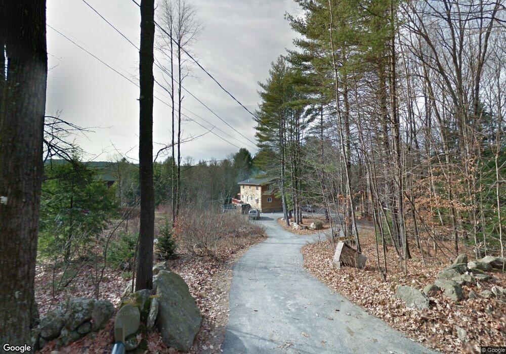
67 Christie Rd New Boston, NH 03070
Estimated Value: $587,000 - $685,000
3
Beds
2
Baths
2,601
Sq Ft
$239/Sq Ft
Est. Value
About This Home
This home is located at 67 Christie Rd, New Boston, NH 03070 and is currently estimated at $620,489, approximately $238 per square foot. 67 Christie Rd is a home with nearby schools including New Boston Central School and Goffstown High School.
Ownership History
Date
Name
Owned For
Owner Type
Purchase Details
Closed on
Apr 12, 2002
Sold by
Adamovich Gail-Iris
Bought by
Robinson Dale K and Robinson Brenda J
Current Estimated Value
Home Financials for this Owner
Home Financials are based on the most recent Mortgage that was taken out on this home.
Original Mortgage
$183,200
Outstanding Balance
$76,107
Interest Rate
6.84%
Estimated Equity
$544,382
Create a Home Valuation Report for This Property
The Home Valuation Report is an in-depth analysis detailing your home's value as well as a comparison with similar homes in the area
Home Values in the Area
Average Home Value in this Area
Purchase History
| Date | Buyer | Sale Price | Title Company |
|---|---|---|---|
| Robinson Dale K | $229,900 | -- |
Source: Public Records
Mortgage History
| Date | Status | Borrower | Loan Amount |
|---|---|---|---|
| Open | Robinson Dale K | $183,200 |
Source: Public Records
Tax History Compared to Growth
Tax History
| Year | Tax Paid | Tax Assessment Tax Assessment Total Assessment is a certain percentage of the fair market value that is determined by local assessors to be the total taxable value of land and additions on the property. | Land | Improvement |
|---|---|---|---|---|
| 2024 | $9,457 | $397,500 | $165,600 | $231,900 |
| 2023 | $8,089 | $397,500 | $165,600 | $231,900 |
| 2022 | $7,624 | $397,500 | $165,600 | $231,900 |
| 2021 | $7,354 | $397,500 | $165,600 | $231,900 |
| 2020 | $7,133 | $296,100 | $103,700 | $192,400 |
| 2019 | $7,285 | $290,800 | $103,700 | $187,100 |
| 2018 | $6,941 | $290,800 | $103,700 | $187,100 |
| 2017 | $7,081 | $290,800 | $103,700 | $187,100 |
| 2016 | $6,790 | $290,800 | $103,700 | $187,100 |
| 2015 | $7,169 | $268,400 | $97,200 | $171,200 |
| 2014 | $6,831 | $268,400 | $97,200 | $171,200 |
| 2013 | $6,506 | $268,400 | $97,200 | $171,200 |
Source: Public Records
Map
Nearby Homes
- 7 Arrowwood Rd
- 718 Bedford Rd
- 111 Bog Brook Rd
- Lot 26 Sawmill Ln
- 26 Sawmill Ln Unit 29
- 393 Chestnut Hill Rd
- 15-32-1-4 Chestnut Hill Rd
- 119 Laurel Ln
- 79 Summit Dr
- 55 Indian Rock Rd
- 914 Back Mountain Rd
- 110 Foxberry Dr
- 16 Palmer Rd
- 99 Cambridge Rd
- 9 Burnham Dr
- 18 Sprague Mill Rd
- 21A Apple Tree Dr
- 25 Pleasant St
- 12 S Mast St
- 34 Lull Rd
- 77 Christie Rd
- 65 Christie Rd
- 66 Christie Rd Unit 12-52-1
- 59 Christie Rd
- 85 Christie Rd
- 78 Christie Rd
- 91 Christie Rd
- 47 Christie Rd
- 61 Leach Hill Rd
- Lot 41-7 Christie
- Lot 41-8 Christie
- 99 Christie Rd
- 1 Roby Rd
- 15 Roby Rd
- 6 Roby Rd
- 107 Christie Rd
- 106 Christie Rd
- 30 Christie Rd
- 591 Bedford Rd
- 23 Christie Rd