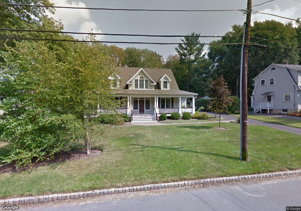
67 Clinton Ave New Providence, NJ 07974
Estimated Value: $1,481,000 - $1,768,000
--
Bed
--
Bath
3,268
Sq Ft
$479/Sq Ft
Est. Value
About This Home
This home is located at 67 Clinton Ave, New Providence, NJ 07974 and is currently estimated at $1,565,417, approximately $479 per square foot. 67 Clinton Ave is a home located in Union County with nearby schools including New Providence High School, The Academy of Our Lady of Peace, and Oak Knoll School of the Holy Child.
Ownership History
Date
Name
Owned For
Owner Type
Purchase Details
Closed on
Jul 24, 2005
Sold by
Hann James R
Bought by
Schumm Katenka D
Current Estimated Value
Home Financials for this Owner
Home Financials are based on the most recent Mortgage that was taken out on this home.
Original Mortgage
$305,000
Outstanding Balance
$159,317
Interest Rate
5.67%
Mortgage Type
New Conventional
Estimated Equity
$1,406,100
Create a Home Valuation Report for This Property
The Home Valuation Report is an in-depth analysis detailing your home's value as well as a comparison with similar homes in the area
Home Values in the Area
Average Home Value in this Area
Purchase History
| Date | Buyer | Sale Price | Title Company |
|---|---|---|---|
| Schumm Katenka D | $450,000 | -- |
Source: Public Records
Mortgage History
| Date | Status | Borrower | Loan Amount |
|---|---|---|---|
| Open | Schumm Katenka D | $305,000 |
Source: Public Records
Tax History Compared to Growth
Tax History
| Year | Tax Paid | Tax Assessment Tax Assessment Total Assessment is a certain percentage of the fair market value that is determined by local assessors to be the total taxable value of land and additions on the property. | Land | Improvement |
|---|---|---|---|---|
| 2025 | $25,056 | $485,400 | $143,400 | $342,000 |
| 2024 | $24,304 | $485,400 | $143,400 | $342,000 |
| 2023 | $24,304 | $485,400 | $143,400 | $342,000 |
| 2022 | $23,969 | $485,400 | $143,400 | $342,000 |
| 2021 | $23,794 | $485,400 | $143,400 | $342,000 |
| 2020 | $23,785 | $485,400 | $143,400 | $342,000 |
| 2019 | $23,639 | $485,400 | $143,400 | $342,000 |
| 2018 | $23,518 | $485,400 | $143,400 | $342,000 |
| 2017 | $23,134 | $485,400 | $143,400 | $342,000 |
| 2016 | $22,809 | $485,400 | $143,400 | $342,000 |
| 2015 | $22,493 | $485,400 | $143,400 | $342,000 |
| 2014 | $22,154 | $485,400 | $143,400 | $342,000 |
Source: Public Records
Map
Nearby Homes
- 197 Elkwood Ave
- 1200 Springfield Ave Unit 1B
- 100 Commonwealth Ave
- 29 Walton Ave
- 32 Charnwood Rd
- 54 Badgley Dr
- 5 Kincaid Ln
- 283 Riveredge Dr
- 34 Grant Ave
- 14 Holmes Oval
- 17B Heritage Dr Unit B
- 175 Terrace Dr
- 20 High St
- 16 Riverbend Ct
- 21G Heritage Dr Unit G
- 146 Riveredge Dr
- 2F Terrace Dr Unit F
- 19 Division Ave
- 16 Terrace Rd
- 36 Terrace Rd
- 75 Clinton Ave
- 63 Clinton Ave
- 55 Clinton Ave
- 60 Madison Ave
- 58 Madison Ave
- 68 Madison Ave
- 68 Clinton Ave
- 54 Madison Ave
- 47 Clinton Ave
- 64 Clinton Ave
- 60 Clinton Ave
- 72 Madison Ave
- 276 Elkwood Ave
- 50 Madison Ave
- 280 Elkwood Ave
- 56 Clinton Ave
- 44 Madison Ave
- 286 Elkwood Ave
- 50 Clinton Ave
- 39 Clinton Ave