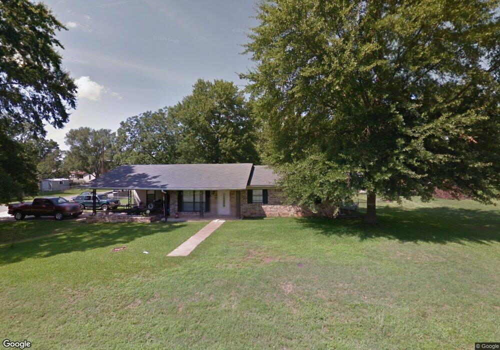
67 Crain Dr Bryant, AR 72022
Estimated Value: $196,000 - $200,000
Studio
2
Baths
1,472
Sq Ft
$135/Sq Ft
Est. Value
About This Home
This home is located at 67 Crain Dr, Bryant, AR 72022 and is currently estimated at $198,206, approximately $134 per square foot. 67 Crain Dr is a home located in Saline County with nearby schools including Hill Farm Elementary School and Arkansas Christian Academy.
Ownership History
Date
Name
Owned For
Owner Type
Purchase Details
Closed on
Mar 31, 2011
Sold by
Reynolds Eric
Bought by
Johnston John A and Johnston Tina A
Current Estimated Value
Home Financials for this Owner
Home Financials are based on the most recent Mortgage that was taken out on this home.
Original Mortgage
$103,367
Outstanding Balance
$71,457
Interest Rate
4.92%
Mortgage Type
New Conventional
Estimated Equity
$126,749
Purchase Details
Closed on
Jul 21, 2006
Sold by
Williams Terry
Bought by
Reynolds Eric
Home Financials for this Owner
Home Financials are based on the most recent Mortgage that was taken out on this home.
Original Mortgage
$91,248
Interest Rate
6.62%
Mortgage Type
FHA
Purchase Details
Closed on
Jan 16, 2001
Bought by
Williams
Purchase Details
Closed on
Aug 24, 2000
Bought by
Blanchette
Purchase Details
Closed on
Feb 16, 1994
Bought by
Younts
Create a Home Valuation Report for This Property
The Home Valuation Report is an in-depth analysis detailing your home's value as well as a comparison with similar homes in the area
Home Values in the Area
Average Home Value in this Area
Purchase History
| Date | Buyer | Sale Price | Title Company |
|---|---|---|---|
| Johnston John A | $98,000 | -- | |
| Reynolds Eric | $92,000 | -- | |
| Williams | $87,000 | -- | |
| Blanchette | $81,000 | -- | |
| Younts | $74,000 | -- |
Source: Public Records
Mortgage History
| Date | Status | Borrower | Loan Amount |
|---|---|---|---|
| Open | Johnston John A | $103,367 | |
| Previous Owner | Reynolds Eric | $91,248 |
Source: Public Records
Tax History
| Year | Tax Paid | Tax Assessment Tax Assessment Total Assessment is a certain percentage of the fair market value that is determined by local assessors to be the total taxable value of land and additions on the property. | Land | Improvement |
|---|---|---|---|---|
| 2025 | $1,357 | $36,031 | $5,760 | $30,271 |
| 2024 | $1,238 | $36,031 | $5,760 | $30,271 |
| 2023 | $932 | $36,031 | $5,760 | $30,271 |
| 2022 | $949 | $36,031 | $5,760 | $30,271 |
| 2021 | $954 | $25,750 | $3,600 | $22,150 |
| 2020 | $859 | $25,750 | $3,600 | $22,150 |
| 2019 | $859 | $25,750 | $3,600 | $22,150 |
| 2018 | $700 | $23,150 | $3,600 | $19,550 |
| 2017 | $652 | $23,150 | $3,600 | $19,550 |
| 2016 | $889 | $18,210 | $3,000 | $15,210 |
| 2015 | $539 | $18,210 | $3,000 | $15,210 |
| 2014 | $539 | $18,210 | $3,000 | $15,210 |
Source: Public Records
Map
Nearby Homes
- 913 Amy Cir
- 1107 Fox Chase Dr
- 201 Zachary Cove
- 330 N Elm St
- 208 Summerfield Dr
- 117 W Lea Cir
- 7 Arcadia Cir
- 5 Arcadia Cir
- 86 Bame Cir Unit 1
- 37 Arcadia Cir
- 80 Bame Cir
- 1602 Rodeo Dr
- 1311 Oscar Dr
- 1004 N Reynolds Rd
- 1810 Bishop Rd
- 313 Prospect Park Loop
- 133 Prospect Park Dr
- 129 Prospect Park Dr
- lot 7 Kindness Ct
- 210 Dell Dr
Your Personal Tour Guide
Ask me questions while you tour the home.