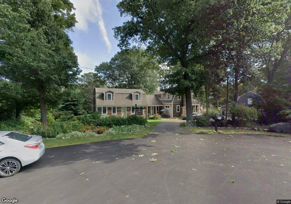
67 Creelman Dr Scituate, MA 02066
Estimated Value: $562,810 - $803,000
3
Beds
5
Baths
1,658
Sq Ft
$408/Sq Ft
Est. Value
About This Home
This home is located at 67 Creelman Dr, Scituate, MA 02066 and is currently estimated at $675,953, approximately $407 per square foot. 67 Creelman Dr is a home located in Plymouth County with nearby schools including Cushing Elementary School, Lester J. Gates Middle School, and Scituate High School.
Ownership History
Date
Name
Owned For
Owner Type
Purchase Details
Closed on
Aug 1, 2017
Sold by
Mirarchi Francis J and Mirarchi Gretchen G
Bought by
Mirarchi Francis J and Mirarchi Gretchen G
Current Estimated Value
Purchase Details
Closed on
Jun 12, 2017
Sold by
Creelman Drive Condo T
Bought by
Mirarchi Francis J and Mirarchi Gretchen G
Purchase Details
Closed on
Jan 1, 1975
Bought by
Mirarchi Francis and Mirarchi Gretchen G
Create a Home Valuation Report for This Property
The Home Valuation Report is an in-depth analysis detailing your home's value as well as a comparison with similar homes in the area
Home Values in the Area
Average Home Value in this Area
Purchase History
| Date | Buyer | Sale Price | Title Company |
|---|---|---|---|
| Mirarchi Francis J | -- | -- | |
| Mirarchi Francis J | -- | -- | |
| Mirarchi Francis | -- | -- |
Source: Public Records
Mortgage History
| Date | Status | Borrower | Loan Amount |
|---|---|---|---|
| Previous Owner | Mirarchi Francis | $500,000 |
Source: Public Records
Tax History
| Year | Tax Paid | Tax Assessment Tax Assessment Total Assessment is a certain percentage of the fair market value that is determined by local assessors to be the total taxable value of land and additions on the property. | Land | Improvement |
|---|---|---|---|---|
| 2025 | $4,810 | $481,500 | $0 | $481,500 |
| 2024 | $4,630 | $446,900 | $0 | $446,900 |
| 2023 | $5,045 | $447,000 | $0 | $447,000 |
| 2022 | $5,045 | $399,800 | $0 | $399,800 |
| 2021 | $5,003 | $375,300 | $0 | $375,300 |
| 2020 | $4,829 | $357,700 | $0 | $357,700 |
| 2019 | $4,729 | $344,200 | $0 | $344,200 |
| 2018 | $10,163 | $728,500 | $317,800 | $410,700 |
| 2017 | $9,878 | $701,100 | $305,600 | $395,500 |
| 2016 | $9,567 | $676,600 | $281,100 | $395,500 |
| 2015 | $8,704 | $664,400 | $268,900 | $395,500 |
Source: Public Records
Map
Nearby Homes
- 629 Country Way
- 67 Pratt Rd
- 49 Whittier Dr
- 701 Country Way
- 11 Forest Ln
- 9 Forest Ln Unit 9
- 59 Captain Peirce Rd
- 7 3 Ring Rd
- 26 Mordecai Lincoln Rd
- 54 Woodland Rd
- 817 Country Way
- 430 Hatherly Rd
- 430 Hatherly Rd Unit Exhibit “A”
- 430 Hatherly Rd Unit Exhibit “B”
- 74 Branch St Unit 15
- 537 First Parish Rd
- 327 Country Way
- 627 First Parish Rd
- 20 Lawson Rd
- 71 Ledgewood Dr
- 65 Creelman Dr
- 66 Creelman Dr
- 595 Country Way
- 30 Hatchet Rock Rd
- 59 Creelman Dr
- 62 Creelman Dr
- 28 Hatchet Rock Rd
- 607 Country Way
- 34 Hatchet Rock Rd
- 56 Creelman Dr
- 14 Bishops Ln
- 29 Pratt Rd
- 593 Country Way
- 55 Creelman Dr
- 589 Country Way
- 599 Country Way
- 603 Country Way
- 24 Hatchet Rock Rd
- 27 Hatchet Rock Rd
- 585 Country Way
Your Personal Tour Guide
Ask me questions while you tour the home.