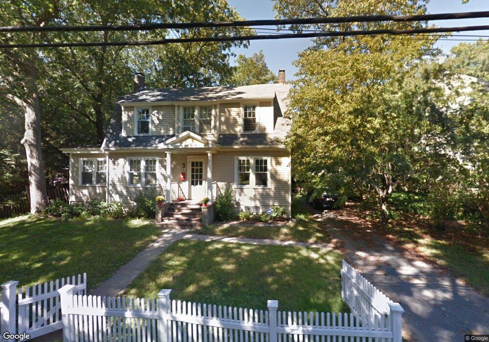
67 Curve St Wellesley, MA 02482
Wellesley Square NeighborhoodEstimated Value: $1,312,573 - $1,478,000
3
Beds
2
Baths
1,817
Sq Ft
$776/Sq Ft
Est. Value
About This Home
This home is located at 67 Curve St, Wellesley, MA 02482 and is currently estimated at $1,409,143, approximately $775 per square foot. 67 Curve St is a home located in Norfolk County with nearby schools including Sprague Elementary School, Wellesley Middle School, and Wellesley Sr High School.
Ownership History
Date
Name
Owned For
Owner Type
Purchase Details
Closed on
Jul 1, 2011
Sold by
Tinmouth Brian P and Dewey Brit K
Bought by
Pasqualino Dario and Sferrazza Chiara
Current Estimated Value
Home Financials for this Owner
Home Financials are based on the most recent Mortgage that was taken out on this home.
Original Mortgage
$298,875
Outstanding Balance
$206,682
Interest Rate
4.62%
Mortgage Type
Purchase Money Mortgage
Estimated Equity
$1,202,461
Purchase Details
Closed on
Jan 15, 2003
Sold by
Jones John C and Jones Shannon J
Bought by
Dewey Brit K and Tinmouth Brian P
Home Financials for this Owner
Home Financials are based on the most recent Mortgage that was taken out on this home.
Original Mortgage
$518,800
Interest Rate
6.18%
Mortgage Type
Purchase Money Mortgage
Purchase Details
Closed on
May 28, 1997
Sold by
Coles Brian S
Bought by
Jones John C and Jones Shannon J
Purchase Details
Closed on
Jun 1, 1993
Sold by
Langowitz Andrew M and Langowitz Nan S
Bought by
Coles Brian S
Create a Home Valuation Report for This Property
The Home Valuation Report is an in-depth analysis detailing your home's value as well as a comparison with similar homes in the area
Home Values in the Area
Average Home Value in this Area
Purchase History
| Date | Buyer | Sale Price | Title Company |
|---|---|---|---|
| Pasqualino Dario | $784,750 | -- | |
| Dewey Brit K | $668,000 | -- | |
| Jones John C | $390,000 | -- | |
| Coles Brian S | $300,000 | -- |
Source: Public Records
Mortgage History
| Date | Status | Borrower | Loan Amount |
|---|---|---|---|
| Open | Pasqualino Dario | $298,875 | |
| Previous Owner | Coles Brian S | $100,000 | |
| Previous Owner | Dewey Brit K | $518,800 | |
| Previous Owner | Coles Brian S | $364,000 | |
| Previous Owner | Coles Brian S | $302,250 |
Source: Public Records
Tax History Compared to Growth
Tax History
| Year | Tax Paid | Tax Assessment Tax Assessment Total Assessment is a certain percentage of the fair market value that is determined by local assessors to be the total taxable value of land and additions on the property. | Land | Improvement |
|---|---|---|---|---|
| 2025 | $12,089 | $1,176,000 | $947,000 | $229,000 |
| 2024 | $11,295 | $1,085,000 | $861,000 | $224,000 |
| 2023 | $10,763 | $940,000 | $763,000 | $177,000 |
| 2022 | $10,535 | $902,000 | $655,000 | $247,000 |
| 2021 | $10,258 | $873,000 | $626,000 | $247,000 |
| 2020 | $10,092 | $873,000 | $626,000 | $247,000 |
| 2019 | $9,777 | $845,000 | $598,000 | $247,000 |
| 2018 | $9,202 | $770,000 | $580,000 | $190,000 |
| 2017 | $9,078 | $770,000 | $580,000 | $190,000 |
| 2016 | $8,943 | $756,000 | $571,000 | $185,000 |
| 2015 | $8,300 | $718,000 | $531,000 | $187,000 |
Source: Public Records
Map
Nearby Homes
- 148 Weston Rd Unit 207
- 26B Pleasant St Unit B
- 68 Linden St Unit 68
- 63 Linden St Unit 1
- 100 Linden St Unit 111
- 100 Linden St Unit 106
- 100 Linden St Unit 103
- 100 Linden St Unit 303
- 100 Linden St Unit 105
- 16 Oak St
- 5 Abbott St
- 18 Patton Rd
- 11 Oak St Unit 62
- 16 Stearns Rd Unit 101
- 16 Stearns Rd Unit 302
- 16 Stearns Rd Unit 207
- 16 Stearns Rd Unit 301
- 16 Stearns Rd Unit 103
- 16 Stearns Rd Unit 202
- 16 Stearns Rd Unit 304