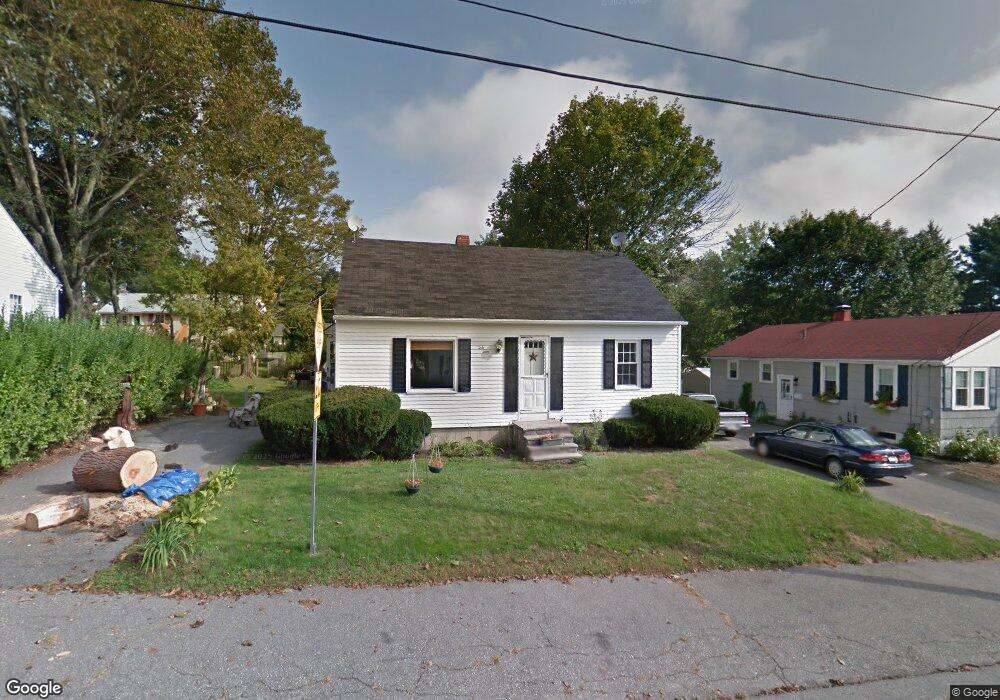
67 Davenport St Augusta, ME 04330
Estimated Value: $208,000 - $251,000
3
Beds
1
Bath
1,075
Sq Ft
$217/Sq Ft
Est. Value
About This Home
This home is located at 67 Davenport St, Augusta, ME 04330 and is currently estimated at $233,632, approximately $217 per square foot. 67 Davenport St is a home located in Kennebec County with nearby schools including Cony Middle School, Cony School, and Maine Virtual Academy.
Ownership History
Date
Name
Owned For
Owner Type
Purchase Details
Closed on
Jan 9, 2023
Sold by
Plummer Alison E Est
Bought by
Burns Brandy and Burns Daniel F
Current Estimated Value
Home Financials for this Owner
Home Financials are based on the most recent Mortgage that was taken out on this home.
Original Mortgage
$154,400
Outstanding Balance
$149,607
Interest Rate
6.58%
Mortgage Type
Purchase Money Mortgage
Estimated Equity
$84,025
Create a Home Valuation Report for This Property
The Home Valuation Report is an in-depth analysis detailing your home's value as well as a comparison with similar homes in the area
Home Values in the Area
Average Home Value in this Area
Purchase History
| Date | Buyer | Sale Price | Title Company |
|---|---|---|---|
| Burns Brandy | $172,000 | None Available | |
| Burns Brandy | $172,000 | None Available |
Source: Public Records
Mortgage History
| Date | Status | Borrower | Loan Amount |
|---|---|---|---|
| Open | Burns Brandy | $154,400 | |
| Closed | Burns Brandy | $154,400 |
Source: Public Records
Tax History Compared to Growth
Tax History
| Year | Tax Paid | Tax Assessment Tax Assessment Total Assessment is a certain percentage of the fair market value that is determined by local assessors to be the total taxable value of land and additions on the property. | Land | Improvement |
|---|---|---|---|---|
| 2024 | $2,518 | $105,800 | $36,300 | $69,500 |
| 2023 | $2,429 | $105,800 | $36,300 | $69,500 |
| 2022 | $2,319 | $105,800 | $36,300 | $69,500 |
| 2021 | $2,215 | $105,800 | $36,300 | $69,500 |
| 2020 | $2,215 | $105,800 | $36,300 | $69,500 |
| 2019 | $2,219 | $105,800 | $36,300 | $69,500 |
| 2018 | $2,219 | $105,800 | $36,300 | $69,500 |
| 2017 | $2,156 | $105,800 | $36,300 | $69,500 |
| 2016 | $2,094 | $105,800 | $36,300 | $69,500 |
| 2015 | $2,053 | $105,800 | $36,300 | $69,500 |
| 2014 | $1,975 | $105,800 | $36,300 | $69,500 |
Source: Public Records
Map
Nearby Homes
- 136 Eastern Ave
- 95 Eastern Ave
- 22 Mayfair St
- 191 Cony St
- 18 Abenaki Rd
- 105 Windsor Ave
- 22 E Chestnut St
- 16 E Chestnut St
- 48 Patterson St
- 31 Greenlief St
- 9 Gannett St
- 30 Patterson St
- 0 Arsenal St
- 32 Murray St
- 39 Village Cir
- 116 Fieldstone Dr
- 40 Village Cir
- 2 Howard St
- 29 Village Cir Unit 1
- 16 Murray St
- 65 Davenport St
- 69 Davenport St
- 38 Fairview Ave
- 56 Fairview Ave
- 36 Fairview Ave
- 63 Davenport St
- 70 Davenport St
- 71 Davenport St
- 60 Fairview Ave
- 72 Davenport St
- 61 Davenport St
- 34 Fairview Ave
- 62 Davenport St
- 115 Eastern Ave
- 66 Fairview Ave
- 55 Fairview Ave
- 119 Eastern Ave
- 59 Davenport St
- 60 Davenport St
- 6 Cushing St