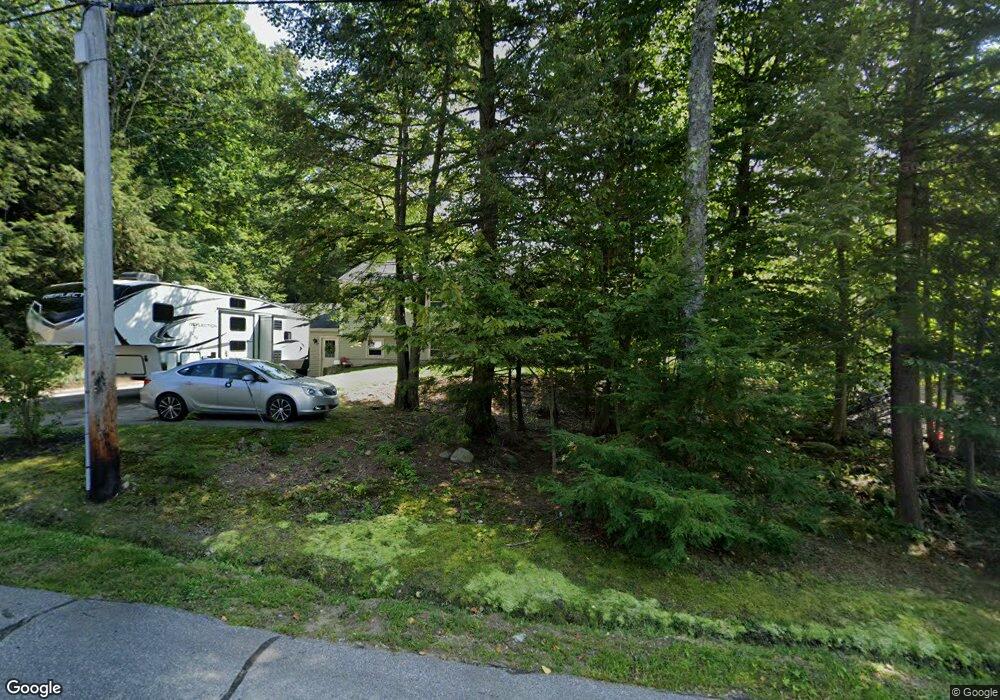
67 David Lewis Rd Gilford, NH 03249
Estimated Value: $451,906 - $565,000
4
Beds
2
Baths
1,189
Sq Ft
$445/Sq Ft
Est. Value
About This Home
This home is located at 67 David Lewis Rd, Gilford, NH 03249 and is currently estimated at $528,977, approximately $444 per square foot. 67 David Lewis Rd is a home located in Belknap County with nearby schools including Gilford Elementary School, Gilford Middle School, and Gilford High School.
Ownership History
Date
Name
Owned For
Owner Type
Purchase Details
Closed on
Dec 23, 2021
Sold by
Deblois Diane M and Deblois Gertrude D
Bought by
Deblois Kristyn L and Deblois Christopher J
Current Estimated Value
Home Financials for this Owner
Home Financials are based on the most recent Mortgage that was taken out on this home.
Original Mortgage
$207,040
Outstanding Balance
$190,089
Interest Rate
2.98%
Mortgage Type
Purchase Money Mortgage
Estimated Equity
$338,888
Purchase Details
Closed on
Jun 30, 1994
Bought by
Deblois Diane M and Knowles Joanne D
Create a Home Valuation Report for This Property
The Home Valuation Report is an in-depth analysis detailing your home's value as well as a comparison with similar homes in the area
Home Values in the Area
Average Home Value in this Area
Purchase History
| Date | Buyer | Sale Price | Title Company |
|---|---|---|---|
| Deblois Kristyn L | $258,800 | None Available | |
| Deblois Diane M | $120,000 | -- |
Source: Public Records
Mortgage History
| Date | Status | Borrower | Loan Amount |
|---|---|---|---|
| Open | Deblois Kristyn L | $207,040 |
Source: Public Records
Tax History Compared to Growth
Tax History
| Year | Tax Paid | Tax Assessment Tax Assessment Total Assessment is a certain percentage of the fair market value that is determined by local assessors to be the total taxable value of land and additions on the property. | Land | Improvement |
|---|---|---|---|---|
| 2024 | $4,933 | $438,490 | $141,590 | $296,900 |
| 2023 | $4,052 | $393,390 | $141,590 | $251,800 |
| 2022 | $3,585 | $292,650 | $87,650 | $205,000 |
| 2021 | $3,594 | $292,650 | $87,650 | $205,000 |
| 2020 | $3,344 | $255,780 | $81,380 | $174,400 |
| 2019 | $3,620 | $228,240 | $47,740 | $180,500 |
| 2018 | $3,586 | $210,450 | $54,250 | $156,200 |
| 2017 | $3,632 | $210,450 | $54,250 | $156,200 |
| 2016 | $3,621 | $201,750 | $54,250 | $147,500 |
| 2015 | $3,615 | $201,150 | $55,950 | $145,200 |
| 2011 | $3,611 | $194,660 | $61,460 | $133,200 |
Source: Public Records
Map
Nearby Homes
- 32 David Lewis Rd
- 233 Stark St
- 30 Beacon Hill Rd
- 23 Liscomb Cir Unit 58
- 88 Stark St
- 75 Stark St Unit 3
- 7 Countryside Dr
- 26 Saint Catherine St
- 122 Valley St
- 9 Sargents Place Unit 35
- 9 Sargents Place Unit 84
- 9 Sargents Place Unit 23
- 9 Sargents Place Unit 72
- 9 Sargents Place Unit 113
- 71 Annis Dr Unit 1
- 6 Colonial Dr
- 8 Mulberry Hill Rd Unit B
- 96 Clinton St
- 131 Lake St Unit 214
- 84 Old Lake Shore Rd
- 68 David Lewis Rd
- 30 David Lewis Rd
- 75 David Lewis Rd
- 27 David Lewis Rd
- 56 David Lewis Rd
- 48 David Lewis Rd
- 38 David Lewis Rd
- 84 David Lewis Rd
- 18 David Lewis Rd
- 000 David Lewis Rd
- 488 Morrill St
- 472 Morrill St
- 238 Stark St
- 456 Morrill St
- 475 Morrill St
- 481 Morrill St
- 440 Morrill St
- 500 Morrill St
- 242 Stark St
- 236 Stark St