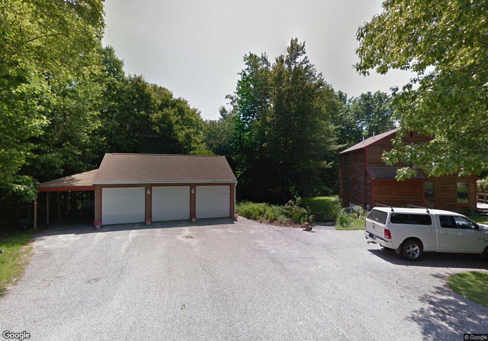
67 Desert Rd Freeport, ME 04032
Estimated Value: $653,000 - $832,742
4
Beds
2
Baths
1,924
Sq Ft
$393/Sq Ft
Est. Value
About This Home
This home is located at 67 Desert Rd, Freeport, ME 04032 and is currently estimated at $755,186, approximately $392 per square foot. 67 Desert Rd is a home with nearby schools including Morse Street School, Mast Landing School, and Freeport Middle School.
Ownership History
Date
Name
Owned For
Owner Type
Purchase Details
Closed on
Nov 15, 2019
Sold by
Burnham Jane A
Bought by
Burnham Charles S
Current Estimated Value
Home Financials for this Owner
Home Financials are based on the most recent Mortgage that was taken out on this home.
Original Mortgage
$361,250
Interest Rate
4%
Mortgage Type
New Conventional
Create a Home Valuation Report for This Property
The Home Valuation Report is an in-depth analysis detailing your home's value as well as a comparison with similar homes in the area
Home Values in the Area
Average Home Value in this Area
Purchase History
| Date | Buyer | Sale Price | Title Company |
|---|---|---|---|
| Burnham Charles S | -- | -- | |
| Burnham Charles S | -- | -- |
Source: Public Records
Mortgage History
| Date | Status | Borrower | Loan Amount |
|---|---|---|---|
| Closed | Burnham Charles S | $361,250 |
Source: Public Records
Tax History Compared to Growth
Tax History
| Year | Tax Paid | Tax Assessment Tax Assessment Total Assessment is a certain percentage of the fair market value that is determined by local assessors to be the total taxable value of land and additions on the property. | Land | Improvement |
|---|---|---|---|---|
| 2024 | $7,779 | $582,700 | $325,000 | $257,700 |
| 2023 | $7,367 | $535,800 | $304,000 | $231,800 |
| 2022 | $7,225 | $529,300 | $297,500 | $231,800 |
| 2021 | $7,066 | $529,300 | $297,500 | $231,800 |
| 2020 | $6,864 | $490,300 | $275,900 | $214,400 |
| 2019 | $6,554 | $458,300 | $260,500 | $197,800 |
| 2018 | $6,443 | $428,100 | $244,300 | $183,800 |
| 2017 | $6,201 | $414,800 | $239,200 | $175,600 |
| 2016 | $6,028 | $381,500 | $218,200 | $163,300 |
| 2015 | $5,796 | $345,000 | $198,600 | $146,400 |
| 2014 | $5,265 | $333,200 | $198,600 | $134,600 |
| 2013 | $4,776 | $301,300 | $162,000 | $139,300 |
Source: Public Records
Map
Nearby Homes
- 304 Pownal Rd
- 31 Sequoia Dr
- 162 Merrill Rd
- 15 Sequoia Dr
- 26 Harvest Ridge Rd Unit 24
- 15 Percy St
- 10 Durham Rd
- 1612 U S Route 1
- 42 Durham Rd
- 4 Harper's Trail
- 212 Main St
- 8 Statler Ln
- 247 Ledge Rd
- 11 Orchard Hill Rd
- 118 Royal Rd
- 238 Hallowell Rd
- 241 Bluff Rd Unit 4
- 137 Durham Rd
- 143 Bragdon Rd
- 203 Bluff Rd Unit 13