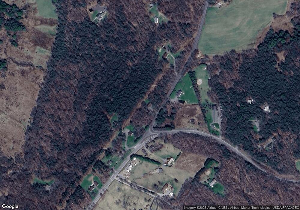
67 Durst Rd Grantsville, MD 21536
Estimated Value: $163,000 - $216,000
--
Bed
2
Baths
768
Sq Ft
$244/Sq Ft
Est. Value
About This Home
This home is located at 67 Durst Rd, Grantsville, MD 21536 and is currently estimated at $187,751, approximately $244 per square foot. 67 Durst Rd is a home located in Garrett County with nearby schools including Grantsville Elementary School, Northern Middle School, and Northern Garrett High School.
Ownership History
Date
Name
Owned For
Owner Type
Purchase Details
Closed on
Mar 26, 2014
Sold by
Kephart Stephanie and Miller Michael
Bought by
Miller Michael
Current Estimated Value
Home Financials for this Owner
Home Financials are based on the most recent Mortgage that was taken out on this home.
Original Mortgage
$107,000
Outstanding Balance
$81,309
Interest Rate
4.33%
Mortgage Type
New Conventional
Estimated Equity
$106,442
Purchase Details
Closed on
Dec 17, 2004
Sold by
Beddow Stephanie A
Bought by
Beddow Stephanie A and Miller Michael
Purchase Details
Closed on
Nov 22, 1995
Sold by
Brenneman Paul D and Brenneman Zona R
Bought by
Beddow Stephanie A
Purchase Details
Closed on
Apr 6, 1994
Sold by
Anderson Thomas D
Bought by
Brenneman Paul D and Brenneman Zona R
Create a Home Valuation Report for This Property
The Home Valuation Report is an in-depth analysis detailing your home's value as well as a comparison with similar homes in the area
Home Values in the Area
Average Home Value in this Area
Purchase History
| Date | Buyer | Sale Price | Title Company |
|---|---|---|---|
| Miller Michael | -- | Lsi Title Agency | |
| Beddow Stephanie A | -- | -- | |
| Beddow Stephanie A | $89,900 | -- | |
| Brenneman Paul D | $10,000 | -- |
Source: Public Records
Mortgage History
| Date | Status | Borrower | Loan Amount |
|---|---|---|---|
| Open | Miller Michael | $107,000 | |
| Closed | Beddow Stephanie A | -- |
Source: Public Records
Tax History Compared to Growth
Tax History
| Year | Tax Paid | Tax Assessment Tax Assessment Total Assessment is a certain percentage of the fair market value that is determined by local assessors to be the total taxable value of land and additions on the property. | Land | Improvement |
|---|---|---|---|---|
| 2025 | $1,631 | $141,433 | $0 | $0 |
| 2024 | $1,558 | $130,800 | $30,300 | $100,500 |
| 2023 | $1,511 | $126,767 | $0 | $0 |
| 2022 | $1,464 | $122,733 | $0 | $0 |
| 2021 | $1,416 | $118,700 | $30,300 | $88,400 |
| 2020 | $1,405 | $117,700 | $0 | $0 |
| 2019 | $1,393 | $116,700 | $0 | $0 |
| 2018 | $1,305 | $115,700 | $30,300 | $85,400 |
| 2017 | $1,305 | $115,700 | $0 | $0 |
| 2016 | -- | $115,700 | $0 | $0 |
| 2015 | -- | $115,700 | $0 | $0 |
| 2014 | -- | $115,700 | $0 | $0 |
Source: Public Records
Map
Nearby Homes
- 2155 Jennings Rd
- PARCEL 64 New Germany Rd
- 220 Diesel School Rd
- 6932 New Germany Rd
- 6778 National Pike
- 193 Main St
- 24 Acres National Pike
- 181 Miller St
- 71 Walnut Ridge
- 33 Walnut Ridge
- 57 Walnut Ridge
- 65 Walnut Ridge
- Lot 24 Moonlight Dr
- 1206 McAndrews Hill Rd
- 11395 National Pike
- 341 Hidden Meadow Ln
- 616 Crab Run Rd
- 417 Greenwood Ridge Rd
- 324 Upper Springs Rd
- 0 Garrett Hwy Unit MDGA2010272
- 76 Durst Rd
- 4 Durst Rd
- 0 Durst Rd Unit 1006865028
- 0 Durst Rd Unit 1006426506
- 0 Durst Rd Unit GA7682243
- 0 Durst Rd Unit 1001986480
- 0 Durst Rd Unit 1008948426
- 110 Durst Rd
- 40 Resh Hill Rd
- 68 Resh Hill Rd
- 185 Durst Rd
- 15198 Bittinger Rd
- 138 Durst Rd
- 15365 Bittinger Rd
- 15126 Bittinger Rd
- 15153 Bittinger Rd
- 89 Root Beachy Rd
- 429 Durst Rd
- 151 Root Beachy Rd
- 15087 Bittinger Rd
