67 E Shore Culver Rd Branchville, NJ 07826
Estimated Value: $194,000 - $299,443
--
Bed
--
Bath
870
Sq Ft
$289/Sq Ft
Est. Value
About This Home
This home is located at 67 E Shore Culver Rd, Branchville, NJ 07826 and is currently estimated at $251,111, approximately $288 per square foot. 67 E Shore Culver Rd is a home located in Sussex County with nearby schools including Frankford Township School and High Point Regional High School.
Ownership History
Date
Name
Owned For
Owner Type
Purchase Details
Closed on
Nov 18, 2011
Sold by
Mcalister Edward
Bought by
Venezia Christopher P and Venezia Cheryl N
Current Estimated Value
Purchase Details
Closed on
Jun 3, 2004
Sold by
Mcalister Brian
Bought by
Mcalister Edward
Home Financials for this Owner
Home Financials are based on the most recent Mortgage that was taken out on this home.
Original Mortgage
$200,000
Interest Rate
7.25%
Mortgage Type
Purchase Money Mortgage
Purchase Details
Closed on
Sep 4, 1997
Sold by
Andis Grace M
Bought by
Simpson Mary Beth Touhey
Home Financials for this Owner
Home Financials are based on the most recent Mortgage that was taken out on this home.
Original Mortgage
$81,350
Interest Rate
7.31%
Mortgage Type
FHA
Create a Home Valuation Report for This Property
The Home Valuation Report is an in-depth analysis detailing your home's value as well as a comparison with similar homes in the area
Home Values in the Area
Average Home Value in this Area
Purchase History
| Date | Buyer | Sale Price | Title Company |
|---|---|---|---|
| Venezia Christopher P | $111,000 | Couch Braunsdorf Insurance T | |
| Mcalister Edward | $250,000 | -- | |
| Simpson Mary Beth Touhey | $82,000 | -- |
Source: Public Records
Mortgage History
| Date | Status | Borrower | Loan Amount |
|---|---|---|---|
| Previous Owner | Mcalister Edward | $200,000 | |
| Previous Owner | Simpson Mary Beth Touhey | $81,350 |
Source: Public Records
Tax History Compared to Growth
Tax History
| Year | Tax Paid | Tax Assessment Tax Assessment Total Assessment is a certain percentage of the fair market value that is determined by local assessors to be the total taxable value of land and additions on the property. | Land | Improvement |
|---|---|---|---|---|
| 2025 | $4,235 | $142,400 | $103,100 | $39,300 |
| 2024 | $4,108 | $142,400 | $103,100 | $39,300 |
| 2023 | $4,108 | $142,400 | $103,100 | $39,300 |
| 2022 | $4,009 | $142,400 | $103,100 | $39,300 |
| 2021 | $3,888 | $142,400 | $103,100 | $39,300 |
| 2020 | $3,776 | $142,400 | $103,100 | $39,300 |
| 2019 | $3,670 | $142,400 | $103,100 | $39,300 |
| 2018 | $3,635 | $142,400 | $103,100 | $39,300 |
| 2017 | $3,208 | $126,100 | $86,800 | $39,300 |
| 2016 | $3,248 | $126,100 | $86,800 | $39,300 |
| 2015 | $3,232 | $126,100 | $86,800 | $39,300 |
| 2014 | $3,306 | $126,100 | $86,800 | $39,300 |
Source: Public Records
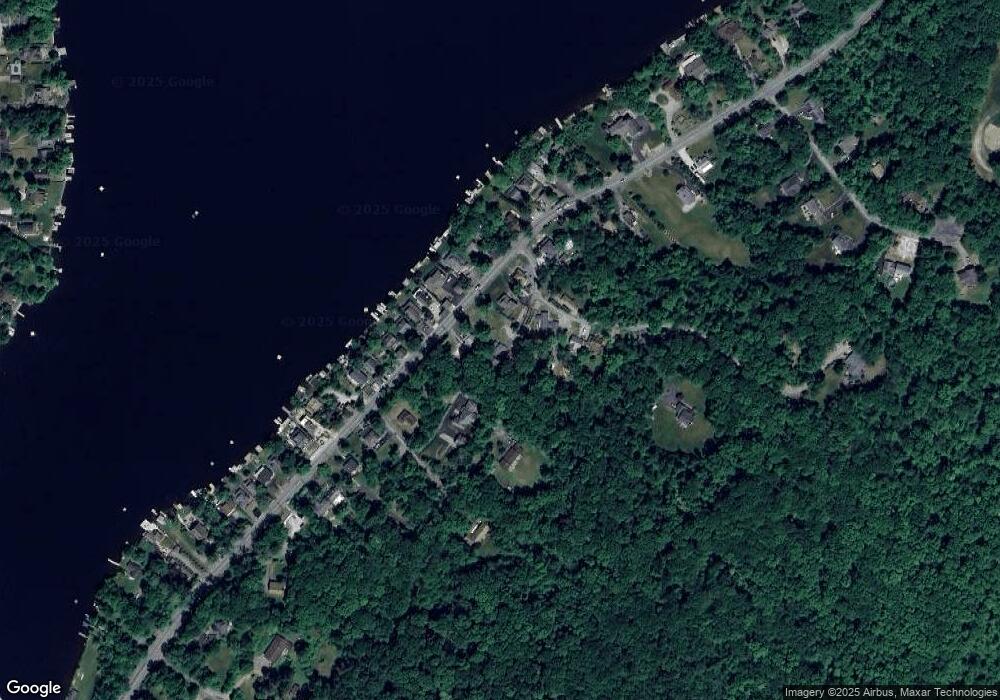
Map
Nearby Homes
- 78 E Shore Culver Rd
- 1 Lakeview Point Ave
- 15 Forest St
- 30 - 31 E Shore Culver Rd
- 127 E Shore Culver Rd
- 7 Laurel Ave
- 4 Woodlawn Ave
- 6 Woodlawn Ave
- 10 Lakewood Trail
- 19 E Shore Lake Owassa Rd
- 25 E Shore Lake Owassa Rd
- 39 Stehr St
- 7 Stempert Rd
- 9 Maple Ln
- 26 Mill Ln
- 461 U S Highway 206
- 13 U S 206
- 196 W Owassa Turnpike
- 4 Lake Path 1
- 27 Mountain Trail
- 69 E Shore Culver Rd
- 65 E Shore Culver Rd
- 16 High St
- 71 E Shore Culver Rd
- 59 E Shore Culver Rd
- 24 High St
- 73 E Shore Culver Rd
- 68 E Shore Culver Rd
- 66 E Shore Culver Rd
- 64 E Shore Culver Rd
- 70 E Shore Culver Rd
- 2 3rd St
- 57 E Shore Culver Rd
- 62 E Shore Culver Rd
- 3 3rd St
- 72 E Shore Culver Rd
- 3 3rd St
- 60 E Shore Culver Rd
- 74 E Shore Culver Rd
- 5 3rd St