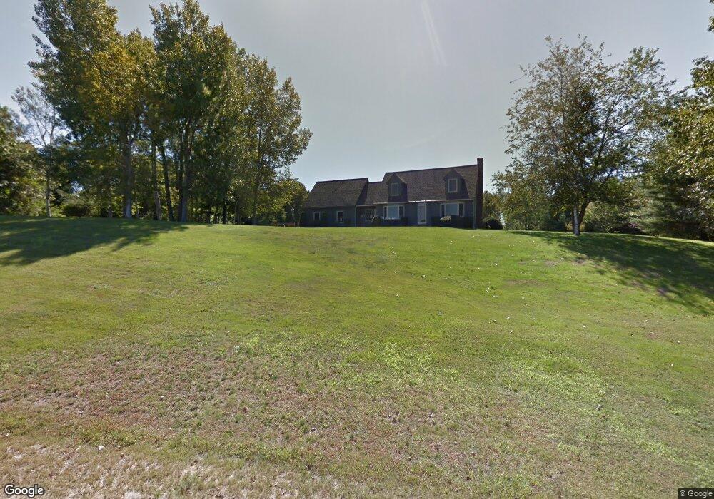
67 Garrison Dr Eliot, ME 03903
East Eliot NeighborhoodEstimated Value: $652,000 - $832,000
3
Beds
2
Baths
1,788
Sq Ft
$418/Sq Ft
Est. Value
About This Home
This home is located at 67 Garrison Dr, Eliot, ME 03903 and is currently estimated at $746,854, approximately $417 per square foot. 67 Garrison Dr is a home located in York County with nearby schools including Marshwood High School.
Ownership History
Date
Name
Owned For
Owner Type
Purchase Details
Closed on
Jan 23, 2020
Sold by
Casciotti Philip C and Casciotti Lynette M
Bought by
Hoyt Thomas R and Hoyt Leslie M
Current Estimated Value
Purchase Details
Closed on
Aug 4, 2011
Sold by
Fraser Janice M and Fraser B W
Bought by
Hoyt Thomas R and Hoyt Leslie M
Create a Home Valuation Report for This Property
The Home Valuation Report is an in-depth analysis detailing your home's value as well as a comparison with similar homes in the area
Home Values in the Area
Average Home Value in this Area
Purchase History
| Date | Buyer | Sale Price | Title Company |
|---|---|---|---|
| Hoyt Thomas R | -- | None Available | |
| Hoyt Thomas R | -- | None Available | |
| Hoyt Thomas R | -- | None Available | |
| Hoyt Thomas R | -- | -- | |
| Hoyt Thomas R | -- | -- |
Source: Public Records
Mortgage History
| Date | Status | Borrower | Loan Amount |
|---|---|---|---|
| Previous Owner | Hoyt Thomas R | $180,000 | |
| Previous Owner | Hoyt Thomas R | $30,000 |
Source: Public Records
Tax History Compared to Growth
Tax History
| Year | Tax Paid | Tax Assessment Tax Assessment Total Assessment is a certain percentage of the fair market value that is determined by local assessors to be the total taxable value of land and additions on the property. | Land | Improvement |
|---|---|---|---|---|
| 2024 | $6,751 | $569,700 | $195,300 | $374,400 |
| 2023 | $6,518 | $532,100 | $187,300 | $344,800 |
| 2022 | $6,256 | $517,000 | $187,300 | $329,700 |
| 2021 | $5,878 | $435,400 | $177,100 | $258,300 |
| 2020 | $6,084 | $413,900 | $171,800 | $242,100 |
| 2019 | $6,048 | $411,400 | $169,300 | $242,100 |
| 2018 | $6,048 | $411,400 | $169,300 | $242,100 |
| 2017 | $5,883 | $411,400 | $169,300 | $242,100 |
| 2016 | $5,440 | $387,200 | $145,100 | $242,100 |
| 2015 | $5,421 | $387,200 | $145,100 | $242,100 |
| 2014 | $5,343 | $387,200 | $145,100 | $242,100 |
| 2013 | $5,099 | $387,200 | $145,100 | $242,100 |
Source: Public Records
Map
Nearby Homes
- 3 Shaws Farm Ln Unit 1
- 287 Goodwin Rd
- 68 Brixham Rd
- Lot 4 Stonecrop Farm Ln
- Lot 1 Brixham (Stonecrop Farm Lot 1) Rd
- 373 Brixham Rd
- 0 Goodwin Rd Unit 1626810
- 76 Punkintown Rd
- 4 Bhoireann Ln
- 3 Bhoireann Ln
- 46 Littlebrook Ln
- 12 Malcolm Rd
- 49 Betty Welch Rd
- 10 Broadfields Rd
- 0 Lindsay Ln
- 2 Lils Alley
- TBD Cedar Rd
- Lot 1 Cedar Tbd
- Lot 2 Cedar Tbd
- 16 Imperial Dr
- 3 W Running Brook Ln
- 83 Garrison Dr
- 3 Frost Hill Cir
- 86 Garrison Dr
- 4 Frost Hill Cir
- 000 Frost Hill Unit 4
- 000 Frost Hill Cir Unit 5
- 00 Frost Hill Cir Unit 4
- 00 Frost Hill Cir
- Lot 4 Frost Hill
- 0 Frost Hill Cir
- 00 Frost Unit Lot E
- 23 Garrison Dr
- 1 Frost Hill Cir
- 104 Garrison Dr
- 8 Frost Hill Cir
- 19 Garrison Dr
- 34 Drake Ln
- 10 Frost Hill Cir
- 38 Garrison Dr