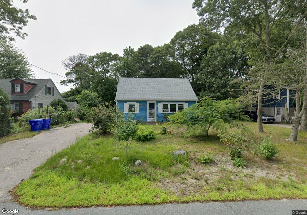
67 Handy Rd Pocasset, MA 02559
Pocasset NeighborhoodEstimated Value: $502,000 - $549,000
4
Beds
1
Bath
1,152
Sq Ft
$457/Sq Ft
Est. Value
About This Home
This home is located at 67 Handy Rd, Pocasset, MA 02559 and is currently estimated at $525,896, approximately $456 per square foot. 67 Handy Rd is a home located in Barnstable County with nearby schools including Bourne High School, Cadence Academy Preschool - Bourne, and St Margaret Regional School.
Create a Home Valuation Report for This Property
The Home Valuation Report is an in-depth analysis detailing your home's value as well as a comparison with similar homes in the area
Home Values in the Area
Average Home Value in this Area
Tax History Compared to Growth
Tax History
| Year | Tax Paid | Tax Assessment Tax Assessment Total Assessment is a certain percentage of the fair market value that is determined by local assessors to be the total taxable value of land and additions on the property. | Land | Improvement |
|---|---|---|---|---|
| 2025 | $3,126 | $400,300 | $191,900 | $208,400 |
| 2024 | $3,191 | $397,900 | $199,400 | $198,500 |
| 2023 | $3,122 | $354,400 | $176,500 | $177,900 |
| 2022 | $2,870 | $284,400 | $143,200 | $141,200 |
| 2021 | $2,788 | $258,900 | $130,300 | $128,600 |
| 2020 | $2,641 | $245,900 | $129,100 | $116,800 |
| 2019 | $2,515 | $239,300 | $129,100 | $110,200 |
| 2018 | $2,461 | $233,500 | $128,500 | $105,000 |
| 2017 | $2,381 | $231,200 | $127,300 | $103,900 |
| 2016 | $2,299 | $226,300 | $127,300 | $99,000 |
| 2015 | $1,889 | $187,600 | $88,600 | $99,000 |
Source: Public Records
Map
Nearby Homes
- 7 4th Ave
- 7 Portside Dr
- 15 1st St
- 940 County Rd
- 174 Barlows Landing Rd
- 940 County Rd
- 709 County Rd
- 254 Barlows Landing Rd
- 39 Bennets Neck Dr
- 1094 County Rd
- 3 Red Brook Pond Dr
- 48 Red Brook Harbor Rd
- 22 Nairn Rd
- 1234 Route 28a
- 171 Bellavista Dr
- 1234 Route 28a
- 515 County Rd
- 16 Tara Terrace
- 501 County Rd
- 14 Navajo Rd