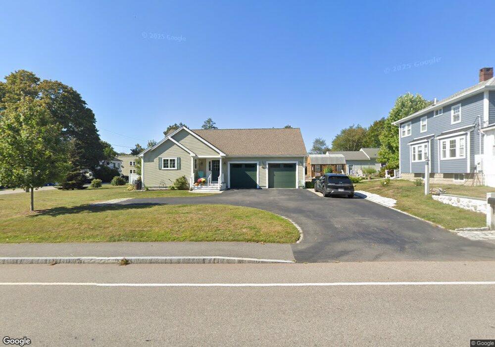
67 Hatherly Rd Scituate, MA 02066
Estimated Value: $787,000 - $902,000
4
Beds
2
Baths
1,426
Sq Ft
$596/Sq Ft
Est. Value
About This Home
This home is located at 67 Hatherly Rd, Scituate, MA 02066 and is currently estimated at $849,836, approximately $595 per square foot. 67 Hatherly Rd is a home located in Plymouth County with nearby schools including Wampatuck Elementary School, Lester J. Gates Middle School, and Scituate High School.
Ownership History
Date
Name
Owned For
Owner Type
Purchase Details
Closed on
May 24, 2024
Sold by
Smith Sharon A and Smith Robert L
Bought by
Smith Ft and Smith
Current Estimated Value
Purchase Details
Closed on
Nov 19, 2012
Sold by
Cole Ralph H
Bought by
Smith Sharaon A and Smith Robert L
Purchase Details
Closed on
Apr 4, 2012
Sold by
Cole Ralph H
Bought by
Smith Sharon A and Smith Robert L
Purchase Details
Closed on
Jan 14, 2005
Sold by
Cole Howard Wroe
Bought by
Cole Howard W and Cole Ralph H
Purchase Details
Closed on
Feb 26, 1979
Bought by
Smith Sharon A and Smith Robert L
Create a Home Valuation Report for This Property
The Home Valuation Report is an in-depth analysis detailing your home's value as well as a comparison with similar homes in the area
Home Values in the Area
Average Home Value in this Area
Purchase History
| Date | Buyer | Sale Price | Title Company |
|---|---|---|---|
| Smith Ft | -- | None Available | |
| Smith Ft | -- | None Available | |
| Smith Sharaon A | -- | -- | |
| Smith Sharon A | -- | -- | |
| Cole Howard W | -- | -- | |
| Smith Sharon A | -- | -- | |
| Smith Sharaon A | -- | -- | |
| Smith Sharon A | -- | -- | |
| Cole Howard W | -- | -- |
Source: Public Records
Tax History Compared to Growth
Tax History
| Year | Tax Paid | Tax Assessment Tax Assessment Total Assessment is a certain percentage of the fair market value that is determined by local assessors to be the total taxable value of land and additions on the property. | Land | Improvement |
|---|---|---|---|---|
| 2025 | $7,020 | $702,700 | $397,300 | $305,400 |
| 2024 | $6,846 | $660,800 | $361,200 | $299,600 |
| 2023 | $6,296 | $595,000 | $328,400 | $266,600 |
| 2022 | $6,296 | $498,900 | $275,200 | $223,700 |
| 2021 | $5,393 | $404,600 | $249,000 | $155,600 |
| 2020 | $4,793 | $355,000 | $239,400 | $115,600 |
| 2019 | $4,793 | $348,800 | $234,700 | $114,100 |
| 2018 | $5,001 | $358,500 | $239,800 | $118,700 |
| 2017 | $4,905 | $348,100 | $229,400 | $118,700 |
| 2016 | $4,716 | $333,500 | $219,000 | $114,500 |
| 2015 | $4,231 | $323,000 | $208,500 | $114,500 |
Source: Public Records
Map
Nearby Homes
- 32 Barker Rd Unit 3
- 105 Turner Rd
- 23 Oceanside Dr
- 10 Benjamin Ln Unit 10
- 74 Tilden Rd
- 76 A Brook St
- 76 A Brook St Unit 1
- 209 Hatherly Rd
- 30 Irving Rd
- 91 Front St Unit 106
- 23 Sunset Rd
- 50 First Parish Rd
- 17 Bradford Ave
- 22 Kings Way
- 378 Tilden Rd
- 2 Windward Ln
- 111 Elm St
- 115 Elm St
- 3 Grace Way Unit 3
- 1 Grace Way Unit 1
- 10 Minot Light Ave
- 65 Hatherly Rd
- 72 Hatherly Rd
- 6 Minot Light Ave
- 74 Hatherly Rd
- 2 Minot Light Ave
- 73 Hatherly Rd
- 70 Hatherly Rd
- 12 Minot Light Ave
- 30 Scituate Ave
- 28 Maple Ave
- 66 Hatherly Rd
- 78 Hatherly Rd
- 3 Minot Light Ave
- 5 Minot Light Ave
- 5 Minot Light Ave
- 32 Scituate Ave
- 77 Hatherly Rd
- 31 Scituate Ave
- 20 Seaview Ave