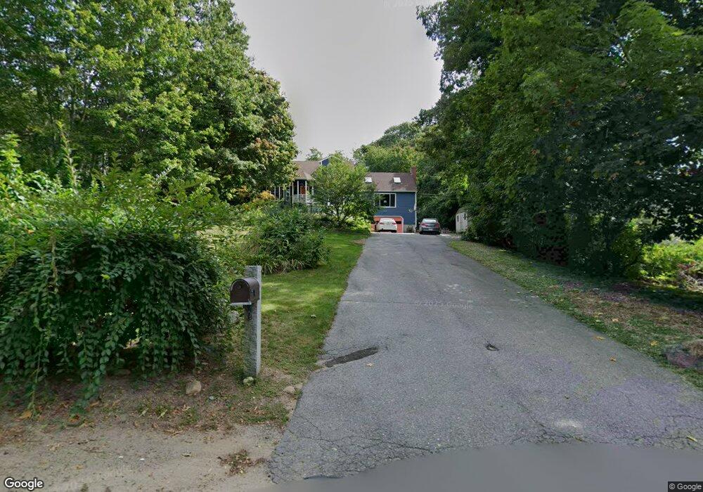
67 Holly St Gloucester, MA 01930
Estimated Value: $928,000 - $1,261,000
3
Beds
3
Baths
2,803
Sq Ft
$376/Sq Ft
Est. Value
About This Home
This home is located at 67 Holly St, Gloucester, MA 01930 and is currently estimated at $1,055,202, approximately $376 per square foot. 67 Holly St is a home located in Essex County with nearby schools including Plum Cove School, Ralph B O'maley Middle School, and Gloucester High School.
Ownership History
Date
Name
Owned For
Owner Type
Purchase Details
Closed on
Feb 14, 2025
Sold by
Douglas P Comeau Lt and Comeau
Bought by
Comeau Phyllis J
Current Estimated Value
Purchase Details
Closed on
Feb 9, 2023
Sold by
Comeau Phyllis J
Bought by
Douglas P Comeau Lt
Purchase Details
Closed on
Aug 12, 2021
Sold by
Comeau Douglas P and Comeau Phyllis J
Bought by
Comeau Phyllis J
Purchase Details
Closed on
Jan 6, 1987
Sold by
Lindberg Charles
Bought by
Novello Joseph B
Create a Home Valuation Report for This Property
The Home Valuation Report is an in-depth analysis detailing your home's value as well as a comparison with similar homes in the area
Purchase History
| Date | Buyer | Sale Price | Title Company |
|---|---|---|---|
| Comeau Phyllis J | -- | None Available | |
| Douglas P Comeau Lt | -- | None Available | |
| Comeau Phyllis J | -- | None Available | |
| Novello Joseph B | $60,000 | -- |
Source: Public Records
Mortgage History
| Date | Status | Borrower | Loan Amount |
|---|---|---|---|
| Previous Owner | Novello Joseph B | $30,000 | |
| Previous Owner | Novello Joseph B | $50,000 | |
| Previous Owner | Novello Joseph B | $15,000 |
Source: Public Records
Tax History
| Year | Tax Paid | Tax Assessment Tax Assessment Total Assessment is a certain percentage of the fair market value that is determined by local assessors to be the total taxable value of land and additions on the property. | Land | Improvement |
|---|---|---|---|---|
| 2025 | $8,641 | $889,000 | $219,400 | $669,600 |
| 2024 | $8,822 | $906,700 | $208,900 | $697,800 |
| 2023 | $8,561 | $808,400 | $186,500 | $621,900 |
| 2022 | $7,712 | $657,500 | $162,100 | $495,400 |
| 2021 | $7,840 | $630,200 | $147,400 | $482,800 |
| 2020 | $7,650 | $620,400 | $147,400 | $473,000 |
| 2019 | $7,660 | $603,600 | $147,400 | $456,200 |
| 2018 | $7,561 | $584,800 | $147,400 | $437,400 |
| 2017 | $7,255 | $550,000 | $140,400 | $409,600 |
| 2016 | $7,205 | $529,400 | $146,400 | $383,000 |
| 2015 | $6,835 | $500,700 | $146,400 | $354,300 |
Source: Public Records
Map
Nearby Homes
- 672 Washington St
- 2 Breezy Point Rd
- 136 Leonard St
- 3 Deacon Farm Ln
- 4 Ciaramitaro Ct
- 31 Echo Ave
- 13 Honeysuckle Rd
- 226 Atlantic St
- 178 Atlantic St
- 167 Atlantic St
- 9 Hickory St
- 13 Mystic Ave
- 1030 Washington St
- 8 Mystic Ave
- 43 High St Unit B
- 3 Rockland St
- 98 Maplewood Ave
- 6 Monroe Ct
- 40 Sargent St
- 12 Arthur St
Your Personal Tour Guide
Ask me questions while you tour the home.