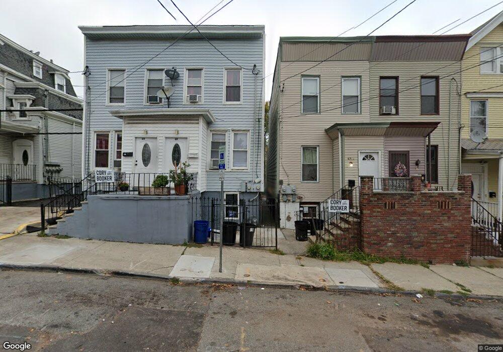
67 Kearny St Newark, NJ 07104
Mount Pleasant-Lower Broadway NeighborhoodEstimated Value: $337,000 - $458,000
--
Bed
--
Bath
910
Sq Ft
$447/Sq Ft
Est. Value
About This Home
This home is located at 67 Kearny St, Newark, NJ 07104 and is currently estimated at $406,763, approximately $446 per square foot. 67 Kearny St is a home located in Essex County with nearby schools including Rafael Hernandez School, Franklin School, and First Avenue Elementary School.
Ownership History
Date
Name
Owned For
Owner Type
Purchase Details
Closed on
Nov 29, 2018
Sold by
Diaz Danilsa M
Bought by
Leon Carlos J
Current Estimated Value
Purchase Details
Closed on
Oct 3, 2005
Home Financials for this Owner
Home Financials are based on the most recent Mortgage that was taken out on this home.
Original Mortgage
$47,200
Interest Rate
5.78%
Mortgage Type
New Conventional
Purchase Details
Closed on
Oct 1, 1999
Sold by
Provident Savings Bank
Bought by
U & I Investments
Create a Home Valuation Report for This Property
The Home Valuation Report is an in-depth analysis detailing your home's value as well as a comparison with similar homes in the area
Home Values in the Area
Average Home Value in this Area
Purchase History
| Date | Buyer | Sale Price | Title Company |
|---|---|---|---|
| Leon Carlos J | $180,000 | -- | |
| -- | -- | -- | |
| U & I Investments | $30,500 | -- |
Source: Public Records
Mortgage History
| Date | Status | Borrower | Loan Amount |
|---|---|---|---|
| Open | Leon Carlos J | $19,013 | |
| Closed | Leon Carlos J | $5,785 | |
| Closed | Taylor Leon | $10,583 | |
| Closed | Taylor Leon | $26,814 | |
| Closed | Leon Carlos J | $8,879 | |
| Previous Owner | Diaz Danilsa M | $85,000 | |
| Previous Owner | Diaz Danilsa M | $20,000 | |
| Previous Owner | Diaz Danilsa M | $47,200 |
Source: Public Records
Tax History Compared to Growth
Tax History
| Year | Tax Paid | Tax Assessment Tax Assessment Total Assessment is a certain percentage of the fair market value that is determined by local assessors to be the total taxable value of land and additions on the property. | Land | Improvement |
|---|---|---|---|---|
| 2025 | $4,861 | $130,400 | $32,100 | $98,300 |
| 2024 | $4,861 | $130,400 | $32,100 | $98,300 |
| 2022 | $4,872 | $130,400 | $32,100 | $98,300 |
| 2021 | $4,869 | $130,400 | $32,100 | $98,300 |
| 2020 | $4,955 | $130,400 | $32,100 | $98,300 |
| 2019 | $3,498 | $93,000 | $32,100 | $60,900 |
| 2018 | $3,434 | $93,000 | $32,100 | $60,900 |
| 2017 | $3,311 | $93,000 | $32,100 | $60,900 |
| 2016 | $3,199 | $93,000 | $32,100 | $60,900 |
| 2015 | $3,077 | $93,000 | $32,100 | $60,900 |
| 2014 | $2,884 | $93,000 | $32,100 | $60,900 |
Source: Public Records
Map
Nearby Homes
- 144 4th Ave
- 148 4th Ave
- 113 Bloomfield Ave
- 205 Garside St
- 207 Garside St
- 212 Garside St
- 209 Mount Prospect Ave
- 231 Garside St
- 148 Bloomfield Ave
- 124 Stone St Unit 2
- 253 Clifton Ave
- 30 Kearny St
- 15 Taylor St
- 192 Ridge St
- 110 Summer Ave
- 99 Cutler St
- 132 Ridge St
- 128-130 Ridge St
- 128 Ridge St Unit 130
- 287 Garside St