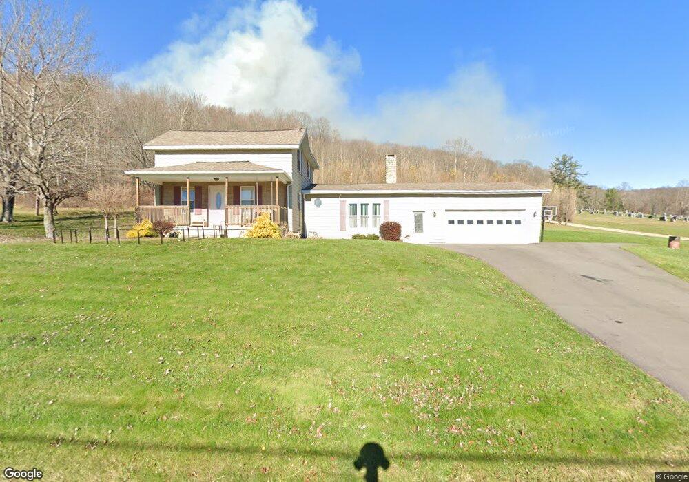
67 King St Eldred, PA 16731
Estimated Value: $139,000 - $230,000
Studio
--
Bath
1,320
Sq Ft
$138/Sq Ft
Est. Value
About This Home
This home is located at 67 King St, Eldred, PA 16731 and is currently estimated at $182,501, approximately $138 per square foot. 67 King St is a home located in McKean County with nearby schools including Otto-Eldred Elementary School and Otto-Eldred Junior/Senior High School.
Ownership History
Date
Name
Owned For
Owner Type
Purchase Details
Closed on
Nov 15, 2008
Sold by
Fusco Anthony J and Fusco Mary C
Bought by
Silvis Scott M and Silvis Heather M
Current Estimated Value
Home Financials for this Owner
Home Financials are based on the most recent Mortgage that was taken out on this home.
Original Mortgage
$88,000
Outstanding Balance
$21,812
Interest Rate
6.03%
Mortgage Type
New Conventional
Estimated Equity
$160,689
Purchase Details
Closed on
Jul 22, 2005
Sold by
Stauffer Frederick P and Stauffer Terri L
Bought by
Wetherby George A and Wetherby Dani N
Home Financials for this Owner
Home Financials are based on the most recent Mortgage that was taken out on this home.
Original Mortgage
$83,500
Interest Rate
5.59%
Mortgage Type
New Conventional
Create a Home Valuation Report for This Property
The Home Valuation Report is an in-depth analysis detailing your home's value as well as a comparison with similar homes in the area
Purchase History
| Date | Buyer | Sale Price | Title Company |
|---|---|---|---|
| Silvis Scott M | $110,000 | None Available | |
| Wetherby George A | $88,500 | None Available |
Source: Public Records
Mortgage History
| Date | Status | Borrower | Loan Amount |
|---|---|---|---|
| Open | Silvis Scott M | $88,000 | |
| Previous Owner | Wetherby George A | $83,500 |
Source: Public Records
Tax History
| Year | Tax Paid | Tax Assessment Tax Assessment Total Assessment is a certain percentage of the fair market value that is determined by local assessors to be the total taxable value of land and additions on the property. | Land | Improvement |
|---|---|---|---|---|
| 2025 | $3,781 | $86,080 | $9,470 | $76,610 |
| 2024 | $3,492 | $86,080 | $9,470 | $76,610 |
| 2023 | $3,540 | $86,080 | $9,470 | $76,610 |
| 2022 | $3,492 | $86,080 | $9,470 | $76,610 |
| 2021 | $3,468 | $86,080 | $9,470 | $76,610 |
| 2020 | $3,468 | $86,080 | $9,470 | $76,610 |
| 2019 | $3,210 | $86,080 | $9,470 | $76,610 |
| 2018 | $31 | $86,080 | $9,470 | $76,610 |
| 2017 | -- | $86,080 | $9,470 | $76,610 |
| 2016 | $2,853 | $86,080 | $9,470 | $76,610 |
| 2015 | $1,227 | $86,080 | $9,470 | $76,610 |
| 2014 | $1,227 | $86,080 | $9,470 | $76,610 |
Source: Public Records
Map
Nearby Homes
- 1470 Barden Brook Rd
- 173 Barden Brook
- 47 Edson St
- 33 Edson St
- 26 King St
- 22 Park Ave
- 22 King St
- 887 Barnum Rd
- 1521 Prentisvale Rd
- 469 N Branch Rd
- 320 Sartwell Rd
- 296 Prosser Rd
- 126 S Main St
- 1368 Looker Mountain Trail
- 83 Brooklyn St
- 801 Annin Creek Rd
- 0 Steam Valley Rd Unit R1658301
- 787 Champlin Hill Rd
- 0 Butternut Brook
- 1036 Portville Olean Rd
- 65 King St
- 00 Barden Brook Rd
- 63 King St
- 64 King St
- 62 King St
- 61 King St
- 60 King St
- 0 Barden Brook Rd Unit R1625702
- 0 Barden Brook Rd Unit WP001 11163485
- 0 Barden Brook Rd
- 147 Barden Brook Rd
- 58 King St
- 161 Barden Brook
- 66 Edson St
- 63 Edson St
- 50 King St
- 64 Edson St
- 57 Edson St
- 4 East Ave
- 55 Edson St
Your Personal Tour Guide
Ask me questions while you tour the home.