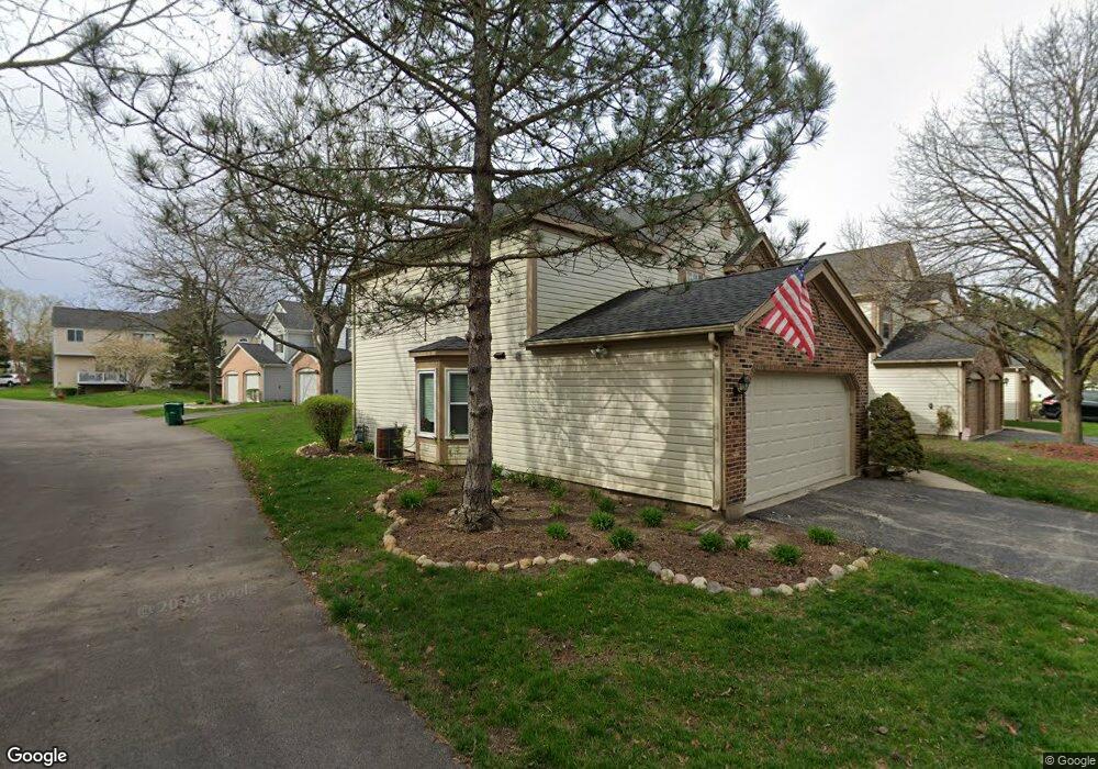
67 Lancaster Cir Unit A Gurnee, IL 60031
Estimated Value: $271,284 - $279,000
3
Beds
2
Baths
1,676
Sq Ft
$164/Sq Ft
Est. Value
About This Home
This home is located at 67 Lancaster Cir Unit A, Gurnee, IL 60031 and is currently estimated at $275,071, approximately $164 per square foot. 67 Lancaster Cir Unit A is a home located in Lake County with nearby schools including Spaulding Elementary School, Viking Middle School, and Warren Township High School.
Ownership History
Date
Name
Owned For
Owner Type
Purchase Details
Closed on
Aug 23, 2000
Sold by
Farrell Clark E and Farrell Nancy J
Bought by
Harris Stephanie M
Current Estimated Value
Home Financials for this Owner
Home Financials are based on the most recent Mortgage that was taken out on this home.
Original Mortgage
$50,000
Outstanding Balance
$17,912
Interest Rate
8.05%
Estimated Equity
$257,159
Create a Home Valuation Report for This Property
The Home Valuation Report is an in-depth analysis detailing your home's value as well as a comparison with similar homes in the area
Home Values in the Area
Average Home Value in this Area
Purchase History
| Date | Buyer | Sale Price | Title Company |
|---|---|---|---|
| Harris Stephanie M | $149,000 | -- |
Source: Public Records
Mortgage History
| Date | Status | Borrower | Loan Amount |
|---|---|---|---|
| Open | Harris Stephanie M | $50,000 |
Source: Public Records
Tax History
| Year | Tax Paid | Tax Assessment Tax Assessment Total Assessment is a certain percentage of the fair market value that is determined by local assessors to be the total taxable value of land and additions on the property. | Land | Improvement |
|---|---|---|---|---|
| 2024 | $6,383 | $71,213 | $8,227 | $62,986 |
| 2023 | $5,880 | $62,931 | $7,270 | $55,661 |
| 2022 | $5,880 | $58,508 | $7,271 | $51,237 |
| 2021 | $5,361 | $56,160 | $6,979 | $49,181 |
| 2020 | $5,206 | $54,779 | $6,807 | $47,972 |
| 2019 | $5,083 | $53,188 | $6,609 | $46,579 |
| 2018 | $4,907 | $50,699 | $4,331 | $46,368 |
| 2017 | $4,862 | $49,246 | $4,207 | $45,039 |
| 2016 | $4,738 | $47,054 | $4,020 | $43,034 |
| 2015 | $4,628 | $44,627 | $3,813 | $40,814 |
| 2014 | $5,200 | $51,882 | $3,740 | $48,142 |
| 2012 | $4,914 | $52,280 | $3,769 | $48,511 |
Source: Public Records
Map
Nearby Homes
- 134 Heritage Ct Unit B
- 4144 Lake Park Ave
- 287 Kensington Ct Unit 4
- 4232 Kenwood Ave
- 4149 Oglesby Ave
- 450 Tanglewood Dr
- 468 Tanglewood Dr
- 4339 Crabtree Ct
- 0 Northwoods Ave Unit MRD11938775
- 546 Thorndale Ave
- 387 Long Hill Rd
- 33564 Greenleaf St
- 4185 Eastwood Place
- 3810 1st St
- 4437-4495 W Kennedy Dr
- 4520 W Lawn Ave
- 963 Belle Plaine Ave
- 1070 Belle Plaine Ave
- 4390 W Parkway Ave
- 4447 W Lawn Ave
- 71 Lancaster Cir Unit B
- 73 Lancaster Cir
- 63 Lancaster Cir Unit C
- 75 Lancaster Cir Unit D
- 61 Lancaster Cir Unit B
- 70 Lancaster Cir Unit D
- 72 Lancaster Cir Unit C
- 77 Lancaster Cir
- 74 Lancaster Cir
- 59 Lancaster Cir Unit A
- 76 Lancaster Cir Unit A
- 4321 Buckingham Dr Unit A
- 4317 Buckingham Dr Unit B
- 275 Knoxbury Ct Unit A
- 4311 Buckingham Dr Unit C
- 271 Knoxbury Ct Unit B
- 45 Lancaster Cir
- 43 Lancaster Cir Unit B
- 267 Knoxbury Ct Unit C
- 47 Lancaster Cir Unit D
Your Personal Tour Guide
Ask me questions while you tour the home.