67 Ledge Rock Rd Mohnton, PA 19540
Estimated Value: $706,000 - $1,226,000
4
Beds
5
Baths
5,892
Sq Ft
$165/Sq Ft
Est. Value
About This Home
This home is located at 67 Ledge Rock Rd, Mohnton, PA 19540 and is currently estimated at $972,802, approximately $165 per square foot. 67 Ledge Rock Rd is a home located in Berks County with nearby schools including Governor Mifflin Intermediate School, Mifflin Park Elementary School, and Governor Mifflin Middle School.
Ownership History
Date
Name
Owned For
Owner Type
Purchase Details
Closed on
Apr 18, 2024
Sold by
Brubacher Benjamin S and Brubacher Joanne S
Bought by
Brubacher Benjamin S and Brubacher Joanne S
Current Estimated Value
Purchase Details
Closed on
Nov 22, 2004
Sold by
Brubacher Benjamin and Brubacher Gail Greth
Bought by
Brubacher Benjamin
Purchase Details
Closed on
May 15, 2003
Sold by
Brubacher Benjamin
Bought by
Brubacher Benjamin and Brubacher Gail Greth
Create a Home Valuation Report for This Property
The Home Valuation Report is an in-depth analysis detailing your home's value as well as a comparison with similar homes in the area
Home Values in the Area
Average Home Value in this Area
Purchase History
| Date | Buyer | Sale Price | Title Company |
|---|---|---|---|
| Brubacher Benjamin S | -- | None Listed On Document | |
| Brubacher Benjamin | -- | -- | |
| Brubacher Benjamin | -- | -- |
Source: Public Records
Tax History Compared to Growth
Tax History
| Year | Tax Paid | Tax Assessment Tax Assessment Total Assessment is a certain percentage of the fair market value that is determined by local assessors to be the total taxable value of land and additions on the property. | Land | Improvement |
|---|---|---|---|---|
| 2025 | $9,079 | $508,700 | $46,600 | $462,100 |
| 2024 | $23,405 | $508,700 | $46,600 | $462,100 |
| 2023 | $22,750 | $508,700 | $46,600 | $462,100 |
| 2022 | $22,180 | $508,700 | $46,600 | $462,100 |
| 2021 | $21,740 | $508,700 | $46,600 | $462,100 |
| 2020 | $21,740 | $508,700 | $46,600 | $462,100 |
| 2019 | $21,476 | $508,700 | $46,600 | $462,100 |
| 2018 | $21,089 | $508,700 | $46,600 | $462,100 |
| 2017 | $20,680 | $508,700 | $46,600 | $462,100 |
| 2016 | $6,908 | $508,700 | $46,600 | $462,100 |
| 2015 | $6,908 | $508,700 | $46,600 | $462,100 |
| 2014 | $6,908 | $508,700 | $46,600 | $462,100 |
Source: Public Records
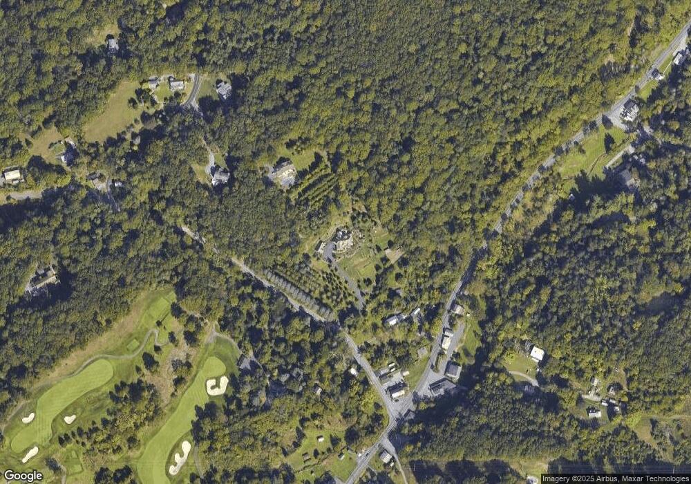
Map
Nearby Homes
- 180 Candy Rd
- 338 Candy Rd
- 31 Imperial Dr
- 5 Quail Ridge Dr
- 8 Hessian Blvd
- 1694 Cedar Top Rd
- 127 Cedar Ln
- 1970 Cedar Top Rd
- 140 S Church St
- 165 Hillcrest Rd
- 836 Scenic Dr
- 15 Lake St
- 3 Monroe St
- 139 Hillcrest Rd
- 1189 Cedar Top Rd
- 40 Tanglewood Dr
- 45 Lindsay Ct
- 18 Front St
- 120 E Wyomissing Ave
- 131 E Wyomissing Ave
- 63 Ledge Rock Rd
- 818 Oregon Rd
- 3401 New Holland Rd
- 3428 New Holland Rd
- 3402 New Holland Rd
- 3392 New Holland Rd
- 820 Oregon Rd
- 3424 New Holland Rd
- 3444 New Holland Rd
- 815 Oregon Rd
- 3459 New Holland Rd
- 3464 New Holland Rd
- 1 Harvest Ln
- 3477 New Holland Rd
- 3470 New Holland Rd
- 819 Oregon Rd
- 175 Ledge Rock Rd
- 20 Hill Ln
- 3501 New Holland Rd
- 3510 New Holland Rd