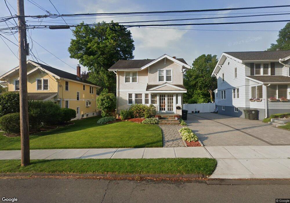
67 Maple St Milford, CT 06460
Downtown Milford NeighborhoodEstimated Value: $675,000 - $796,000
3
Beds
4
Baths
2,360
Sq Ft
$318/Sq Ft
Est. Value
About This Home
This home is located at 67 Maple St, Milford, CT 06460 and is currently estimated at $749,819, approximately $317 per square foot. 67 Maple St is a home located in New Haven County with nearby schools including Orange Avenue School, Harborside Middle School, and Joseph A. Foran High School.
Ownership History
Date
Name
Owned For
Owner Type
Purchase Details
Closed on
Jun 23, 2005
Sold by
Hupree Robert C and Hellman Linda E
Bought by
Parise Anthony N
Current Estimated Value
Home Financials for this Owner
Home Financials are based on the most recent Mortgage that was taken out on this home.
Original Mortgage
$325,000
Interest Rate
5.82%
Purchase Details
Closed on
Apr 8, 1997
Sold by
Perry Real Estate Dev
Bought by
Dupree Robert C and Hellman Linda E
Purchase Details
Closed on
Jun 17, 1996
Sold by
Ward George B
Bought by
Perry Robert A and Perry Melissa J
Create a Home Valuation Report for This Property
The Home Valuation Report is an in-depth analysis detailing your home's value as well as a comparison with similar homes in the area
Home Values in the Area
Average Home Value in this Area
Purchase History
| Date | Buyer | Sale Price | Title Company |
|---|---|---|---|
| Parise Anthony N | $410,000 | -- | |
| Parise Anthony N | $410,000 | -- | |
| Dupree Robert C | $182,500 | -- | |
| Perry Real Estate Dev | $110,000 | -- | |
| Perry Real Estate Dev | $110,000 | -- | |
| Perry Robert A | $110,000 | -- | |
| Perry Robert A | $110,000 | -- |
Source: Public Records
Mortgage History
| Date | Status | Borrower | Loan Amount |
|---|---|---|---|
| Closed | Perry Robert A | $35,000 | |
| Closed | Perry Robert A | $325,000 |
Source: Public Records
Tax History
| Year | Tax Paid | Tax Assessment Tax Assessment Total Assessment is a certain percentage of the fair market value that is determined by local assessors to be the total taxable value of land and additions on the property. | Land | Improvement |
|---|---|---|---|---|
| 2025 | $11,911 | $403,090 | $135,440 | $267,650 |
| 2024 | $11,746 | $403,090 | $135,440 | $267,650 |
| 2023 | $10,952 | $403,090 | $135,440 | $267,650 |
| 2022 | $10,742 | $403,090 | $135,440 | $267,650 |
| 2021 | $9,777 | $353,600 | $102,820 | $250,780 |
| 2020 | $9,349 | $337,760 | $102,820 | $234,940 |
| 2019 | $9,359 | $337,760 | $102,820 | $234,940 |
| 2018 | $9,264 | $333,970 | $102,820 | $231,150 |
| 2017 | $9,281 | $333,970 | $102,820 | $231,150 |
| 2016 | $9,110 | $327,220 | $102,820 | $224,400 |
| 2015 | $9,123 | $327,220 | $102,820 | $224,400 |
| 2014 | $8,907 | $327,220 | $102,820 | $224,400 |
Source: Public Records
Map
Nearby Homes
- 48 Winthrop Ct
- 96 W Main St
- 152 W River St
- 190 W Main St
- 146 High St Unit 102
- 146 High St Unit 303
- 27 Peck St
- 299 W Main St
- 103 Ford St
- 26 Hill St
- 6 Vernon Ct
- 139 Wepawaug Dr
- 238 Zion Hill Rd
- 91 Forest Rd Unit B
- 167 Wepawaug Dr
- 492 North St
- 102 Corona Dr
- 150 Forest Rd Unit 6
- 213 Seaside Ave
- 364 Orange Ave
Your Personal Tour Guide
Ask me questions while you tour the home.