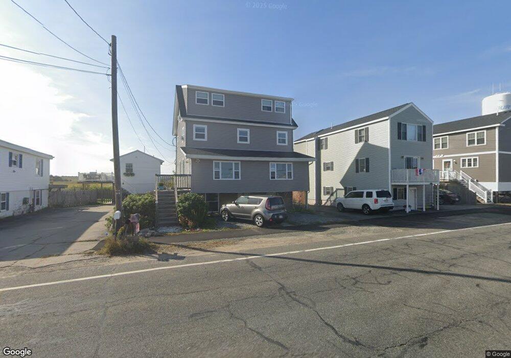
67 North End Blvd Salisbury, MA 01952
Estimated Value: $443,850
8
Beds
4
Baths
1,933
Sq Ft
$230/Sq Ft
Est. Value
About This Home
This home is located at 67 North End Blvd, Salisbury, MA 01952 and is currently estimated at $443,850, approximately $229 per square foot. 67 North End Blvd is a home located in Essex County with nearby schools including Triton Regional High School.
Ownership History
Date
Name
Owned For
Owner Type
Purchase Details
Closed on
Aug 24, 2018
Sold by
Admanfred Llc
Bought by
Keefe Donna M
Current Estimated Value
Home Financials for this Owner
Home Financials are based on the most recent Mortgage that was taken out on this home.
Original Mortgage
$239,200
Outstanding Balance
$207,303
Interest Rate
4.5%
Mortgage Type
New Conventional
Estimated Equity
$236,547
Purchase Details
Closed on
May 5, 2017
Sold by
Manfred Shane
Bought by
Admanfred Llc
Purchase Details
Closed on
Apr 28, 2017
Sold by
Sawyer Christopher D
Bought by
Manfred Shane
Purchase Details
Closed on
Jan 27, 2017
Sold by
Department Of Housing & Urban Dev
Bought by
Sawyer Christopher D
Home Financials for this Owner
Home Financials are based on the most recent Mortgage that was taken out on this home.
Original Mortgage
$412,015
Interest Rate
4.16%
Mortgage Type
FHA
Purchase Details
Closed on
Sep 12, 2016
Sold by
Midfirst Bank
Bought by
Department Of Housing & Urban Dev
Purchase Details
Closed on
Jun 13, 2016
Sold by
Poirier Kimberly M
Bought by
Midfirst Bank
Purchase Details
Closed on
Nov 26, 2014
Sold by
Poirier Kimberly M
Bought by
Midfirst Bank
Purchase Details
Closed on
Jan 6, 2003
Sold by
Dattilo Paula
Bought by
Poirier Kimberly M
Home Financials for this Owner
Home Financials are based on the most recent Mortgage that was taken out on this home.
Original Mortgage
$288,600
Interest Rate
6.08%
Purchase Details
Closed on
Jun 13, 1997
Sold by
Milligan Paula and Howell Jeremy
Bought by
Dattilo Paula
Home Financials for this Owner
Home Financials are based on the most recent Mortgage that was taken out on this home.
Original Mortgage
$116,700
Interest Rate
7.97%
Mortgage Type
Purchase Money Mortgage
Purchase Details
Closed on
Jul 31, 1995
Sold by
Mulcahy Francis D and Mulcahy Justine
Bought by
Shine Walter D and Shine Gloria
Home Financials for this Owner
Home Financials are based on the most recent Mortgage that was taken out on this home.
Original Mortgage
$53,000
Interest Rate
7.56%
Mortgage Type
Purchase Money Mortgage
Create a Home Valuation Report for This Property
The Home Valuation Report is an in-depth analysis detailing your home's value as well as a comparison with similar homes in the area
Home Values in the Area
Average Home Value in this Area
Purchase History
| Date | Buyer | Sale Price | Title Company |
|---|---|---|---|
| Keefe Donna M | $277,500 | -- | |
| Lucas F Michael | $299,000 | -- | |
| Admanfred Llc | -- | -- | |
| Manfred Shane | $235,000 | -- | |
| Sawyer Christopher D | $225,000 | -- | |
| Department Of Housing & Urban Dev | -- | -- | |
| Department Of Housing & Urban Dev | -- | -- | |
| Midfirst Bank | $278,800 | -- | |
| Midfirst Bank | $278,800 | -- | |
| Poirier Kimberly M | $250,000 | -- | |
| Dattilo Paula | $117,000 | -- | |
| Shine Walter D | $52,500 | -- |
Source: Public Records
Mortgage History
| Date | Status | Borrower | Loan Amount |
|---|---|---|---|
| Open | Lucas F Michael | $239,200 | |
| Closed | Keefe Donna M | $199,999 | |
| Previous Owner | Sawyer Christopher D | $412,015 | |
| Previous Owner | Shine Walter D | $288,600 | |
| Previous Owner | Shine Walter D | $116,700 | |
| Previous Owner | Shine Walter D | $53,000 |
Source: Public Records
Tax History Compared to Growth
Tax History
| Year | Tax Paid | Tax Assessment Tax Assessment Total Assessment is a certain percentage of the fair market value that is determined by local assessors to be the total taxable value of land and additions on the property. | Land | Improvement |
|---|---|---|---|---|
| 2025 | $4,801 | $0 | $0 | $0 |
| 2024 | $4,801 | $0 | $0 | $0 |
| 2023 | $0 | $0 | $0 | $0 |
| 2022 | $0 | $0 | $0 | $0 |
| 2021 | $0 | $0 | $0 | $0 |
| 2020 | $4,801 | $0 | $0 | $0 |
| 2019 | $4,801 | $404,800 | $182,200 | $222,600 |
| 2018 | $2,786 | $236,500 | $177,200 | $59,300 |
| 2017 | $3,663 | $307,300 | $163,700 | $143,600 |
| 2016 | $3,571 | $306,000 | $163,700 | $142,300 |
| 2015 | $3,409 | $290,100 | $163,700 | $126,400 |
Source: Public Records
Map
Nearby Homes
- 98 Central Ave
- 38-40 Central Ave
- 16 N End Blvd Unit 10
- 16 N End Blvd Unit 8
- 16 N End Blvd Unit 3
- 16 N End Blvd Unit 12
- 16 N End Blvd Unit 5
- 168 N End Blvd
- 20 Cable Ave Unit 11
- 178 N End Blvd Unit A
- 178 N End Blvd Unit C
- 178 N End Blvd Unit F
- 45 Old County Rd Unit 1
- 188 N End Blvd Unit 3
- 101 Cable Ave
- 103 Railroad Ave
- 52 Brissette Ave
- 114 Railroad Ave
- 116 Railroad Ave
- 170 Beach Rd Unit 52
- 67 N End Blvd Unit 2
- 67 N End Blvd
- 65 North End Blvd
- 65 North End Blvd
- 69 North End Blvd
- 69 N End Blvd
- 63 North End Blvd
- 71 N End Blvd
- 71 N End Blvd Unit 2
- 71 N End Blvd Unit 1
- 71 N End Blvd Unit 3
- 73 North End Blvd
- 73 North End Blvd Unit 1
- 73 North End Blvd Unit 2
- 65 N End Blvd
- 57 North End Blvd
- 57 North End Blvd
- 64 North End Blvd
- 64 N End Blvd Unit A1
- 40 Old Town Way