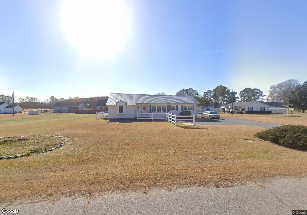
67 Old Mallard Rd Smithfield, NC 27577
Estimated Value: $245,000 - $306,000
2
Beds
2
Baths
1,470
Sq Ft
$185/Sq Ft
Est. Value
About This Home
This home is located at 67 Old Mallard Rd, Smithfield, NC 27577 and is currently estimated at $271,303, approximately $184 per square foot. 67 Old Mallard Rd is a home located in Johnston County with nearby schools including West Smithfield Elementary School, Smithfield Middle School, and Smithfield-Selma High School.
Ownership History
Date
Name
Owned For
Owner Type
Purchase Details
Closed on
Jun 9, 2005
Sold by
Burgress Properties Llc
Bought by
Pollard Ted R and Pollard Betsy S
Current Estimated Value
Home Financials for this Owner
Home Financials are based on the most recent Mortgage that was taken out on this home.
Original Mortgage
$30,000
Outstanding Balance
$15,561
Interest Rate
5.66%
Mortgage Type
FHA
Estimated Equity
$255,742
Create a Home Valuation Report for This Property
The Home Valuation Report is an in-depth analysis detailing your home's value as well as a comparison with similar homes in the area
Home Values in the Area
Average Home Value in this Area
Purchase History
| Date | Buyer | Sale Price | Title Company |
|---|---|---|---|
| Pollard Ted R | $20,000 | None Available |
Source: Public Records
Mortgage History
| Date | Status | Borrower | Loan Amount |
|---|---|---|---|
| Open | Pollard Ted R | $30,000 |
Source: Public Records
Tax History
| Year | Tax Paid | Tax Assessment Tax Assessment Total Assessment is a certain percentage of the fair market value that is determined by local assessors to be the total taxable value of land and additions on the property. | Land | Improvement |
|---|---|---|---|---|
| 2025 | $939 | $260,700 | $52,670 | $208,030 |
| 2024 | $679 | $133,360 | $28,730 | $104,630 |
| 2023 | $679 | $133,360 | $28,730 | $104,630 |
| 2022 | $713 | $133,360 | $28,730 | $104,630 |
| 2021 | $713 | $133,360 | $28,730 | $104,630 |
| 2020 | $738 | $133,360 | $28,730 | $104,630 |
| 2019 | $738 | $133,360 | $28,730 | $104,630 |
| 2018 | $488 | $105,860 | $18,190 | $87,670 |
| 2017 | $953 | $105,860 | $18,190 | $87,670 |
| 2016 | $953 | $105,860 | $18,190 | $87,670 |
| 2015 | -- | $105,860 | $18,190 | $87,670 |
| 2014 | -- | $105,860 | $18,190 | $87,670 |
Source: Public Records
Map
Nearby Homes
- 3038 Brogden Rd
- 404 Forbes Dr
- 518 Crump St
- 512 Crump St
- 510 Crump St
- 701 East St Unit A
- 508 Crump St
- 38 Muscadine Way
- 106 W Caroline Ave
- 1230 S 2nd St
- 1117 S 1st St
- 205 W Wilson St
- 0000 Hill
- 213 W Stevens St
- 210 E Holt St
- 918 S Vermont St
- 1210 S 2nd St
- 306 Martin Luther King Junior Dr
- 514 S 5th St
- 201 Holton St
- 2203 Brogden Rd
- 2225 Brogden Rd
- 72 Old Mallard Rd
- 2181 Brogden Rd
- 90 Old Mallard Rd
- 52 Old Mallard Rd
- 15 Old Mallard Rd
- 2249 Brogden Rd
- 28 Old Mallard Rd
- 2161 Brogden Rd
- 24 Mallard Rd
- 128 Old Mallard Rd
- 22 Marshall Rd
- 16 Marshall Rd
- 0 Brogden Rd Unit 10061390
- 2025 Brogden Rd
- 0 Brogden Rd Unit 755905
- 0 Brogden Rd Unit 1892119
- 0 Brogden Rd Unit 882418
- --- Brogden Rd
Your Personal Tour Guide
Ask me questions while you tour the home.