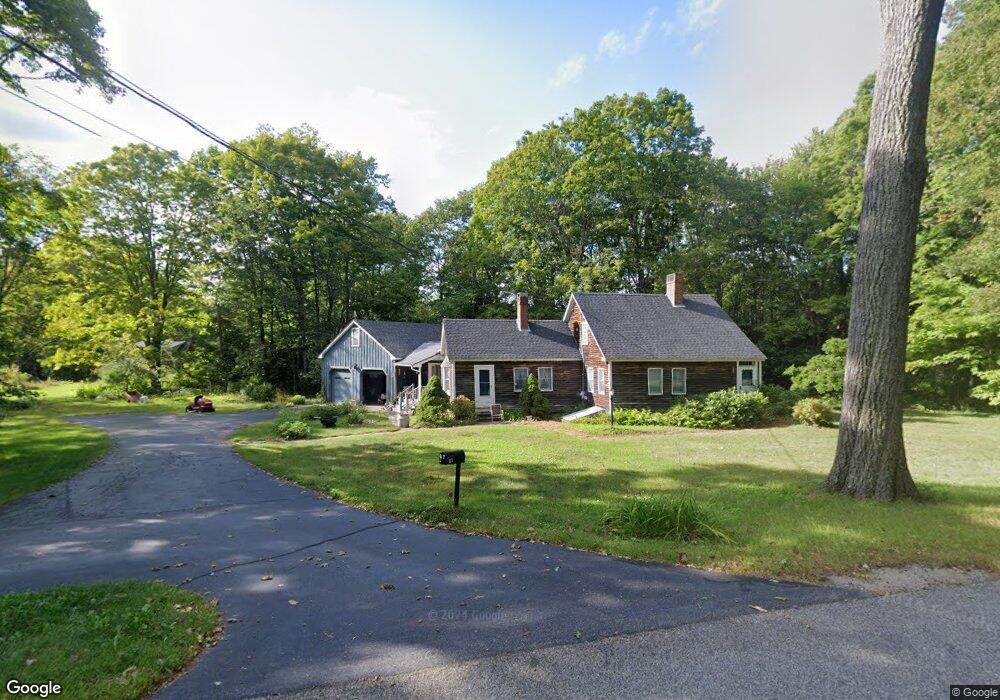
67 Osborne Rd Gorham, ME 04038
Estimated Value: $401,073 - $570,000
2
Beds
2
Baths
1,591
Sq Ft
$321/Sq Ft
Est. Value
About This Home
This home is located at 67 Osborne Rd, Gorham, ME 04038 and is currently estimated at $510,018, approximately $320 per square foot. 67 Osborne Rd is a home located in Cumberland County with nearby schools including Village Elementary School, Gorham Middle School, and Gorham High School.
Create a Home Valuation Report for This Property
The Home Valuation Report is an in-depth analysis detailing your home's value as well as a comparison with similar homes in the area
Home Values in the Area
Average Home Value in this Area
Tax History
| Year | Tax Paid | Tax Assessment Tax Assessment Total Assessment is a certain percentage of the fair market value that is determined by local assessors to be the total taxable value of land and additions on the property. | Land | Improvement |
|---|---|---|---|---|
| 2025 | $4,279 | $289,100 | $140,800 | $148,300 |
| 2024 | $4,259 | $289,700 | $141,400 | $148,300 |
| 2023 | $3,979 | $289,400 | $141,200 | $148,200 |
| 2022 | $3,721 | $289,600 | $141,400 | $148,200 |
| 2021 | $3,605 | $185,800 | $107,500 | $78,300 |
| 2020 | $3,534 | $186,000 | $107,700 | $78,300 |
| 2019 | $3,530 | $186,300 | $108,000 | $78,300 |
| 2018 | $3,402 | $186,900 | $108,600 | $78,300 |
| 2017 | $3,196 | $186,900 | $108,600 | $78,300 |
| 2016 | $3,120 | $183,500 | $105,200 | $78,300 |
| 2015 | $2,976 | $182,600 | $104,300 | $78,300 |
| 2014 | $2,982 | $171,400 | $90,100 | $81,300 |
| 2013 | $2,965 | $171,400 | $90,100 | $81,300 |
Source: Public Records
Map
Nearby Homes
Your Personal Tour Guide
Ask me questions while you tour the home.