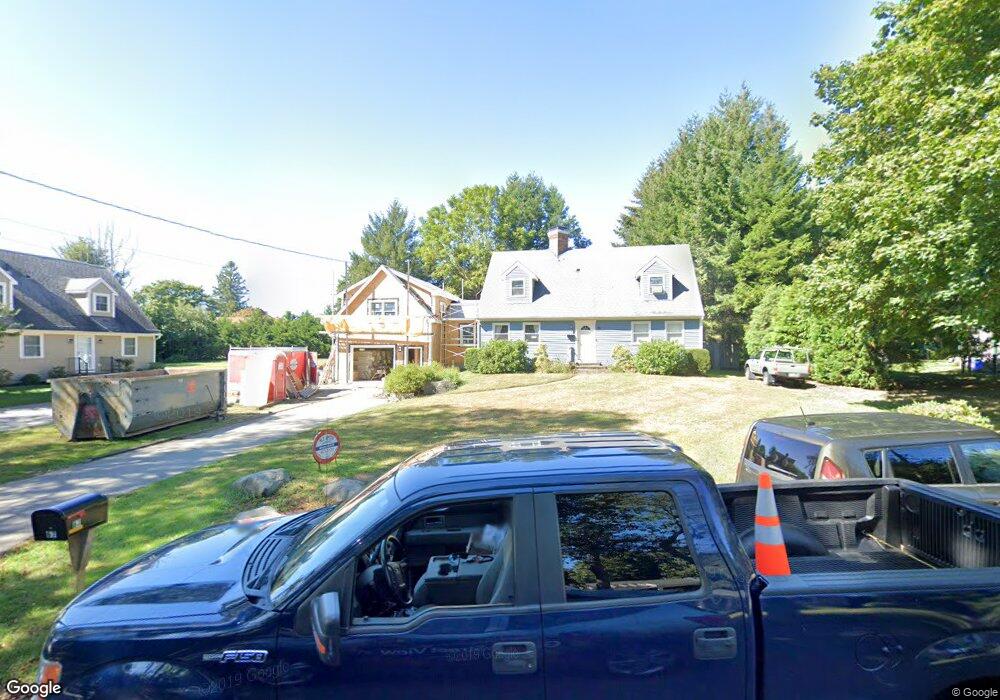
67 Pemberton Ave Jamestown, RI 02835
Jamestown Village NeighborhoodEstimated Value: $1,186,000 - $1,667,000
4
Beds
4
Baths
2,230
Sq Ft
$637/Sq Ft
Est. Value
About This Home
This home is located at 67 Pemberton Ave, Jamestown, RI 02835 and is currently estimated at $1,421,023, approximately $637 per square foot. 67 Pemberton Ave is a home located in Newport County with nearby schools including Melrose Avenue School and Lawn Avenue School.
Ownership History
Date
Name
Owned For
Owner Type
Purchase Details
Closed on
Mar 3, 2021
Sold by
Donaldson Henry A
Bought by
Henry A Donaldson T
Current Estimated Value
Purchase Details
Closed on
Mar 13, 1978
Bought by
Donaldson Henry A
Create a Home Valuation Report for This Property
The Home Valuation Report is an in-depth analysis detailing your home's value as well as a comparison with similar homes in the area
Home Values in the Area
Average Home Value in this Area
Purchase History
| Date | Buyer | Sale Price | Title Company |
|---|---|---|---|
| Henry A Donaldson T | -- | None Available | |
| Donaldson Henry A | -- | -- |
Source: Public Records
Mortgage History
| Date | Status | Borrower | Loan Amount |
|---|---|---|---|
| Previous Owner | Donaldson Henry A | $12,000 | |
| Previous Owner | Donaldson Henry A | $25,000 |
Source: Public Records
Tax History
| Year | Tax Paid | Tax Assessment Tax Assessment Total Assessment is a certain percentage of the fair market value that is determined by local assessors to be the total taxable value of land and additions on the property. | Land | Improvement |
|---|---|---|---|---|
| 2025 | $5,944 | $1,053,900 | $502,300 | $551,600 |
| 2024 | $5,357 | $747,100 | $381,000 | $366,100 |
| 2023 | $5,215 | $747,200 | $381,000 | $366,200 |
| 2022 | $5,073 | $747,200 | $381,000 | $366,200 |
| 2021 | $4,392 | $530,400 | $254,400 | $276,000 |
| 2020 | $4,137 | $512,700 | $254,400 | $258,300 |
| 2019 | $3,796 | $471,500 | $254,400 | $217,100 |
| 2018 | $3,721 | $420,500 | $226,400 | $194,100 |
| 2017 | $3,642 | $420,500 | $226,400 | $194,100 |
| 2016 | $3,608 | $420,500 | $226,400 | $194,100 |
| 2015 | $3,592 | $409,100 | $270,900 | $138,200 |
| 2014 | $3,580 | $409,100 | $270,900 | $138,200 |
Source: Public Records
Map
Nearby Homes
- 46 North Rd
- 127 Longfellow Rd
- 78 Narragansett Ave
- 77 Narragansett Ave Unit C
- 30 W Bay View Dr
- 63 Longfellow Rd
- 22 Cole St
- 14 Clinton Ave
- 73 Conanicus Ave Unit 4
- 104 Howland Ave
- 0 Walcott Ave
- 30 Walcott Ave
- 31 Buloid Ave
- 39 Walcott Ave
- 41 Walcott Ave
- 10 Coulter St
- 44 Mast St
- 121 Seaside Dr
- 30 Bonnet View Dr
- 382 Beavertail Rd
- 73 Pemberton Ave
- 63 Pemberton Ave
- 74 Pemberton Ave
- 70 Lawn Ave
- 66 Pemberton Ave
- 62 Pemberton Ave
- 78 Pemberton Ave
- 64 Pemberton Ave
- 64 Pemberton Ave Unit A
- 83 Pemberton Ave
- 74 Lawn Ave
- 64 Lawn Ave
- 84 Pemberton Ave
- 58 Lawn Ave
- 52 Pemberton Ave
- 84 Lawn Ave
- 52 Lawn Ave
- 87 Pemberton Ave
- 48 Pemberton Ave
- 94 Lawn Ave
Your Personal Tour Guide
Ask me questions while you tour the home.