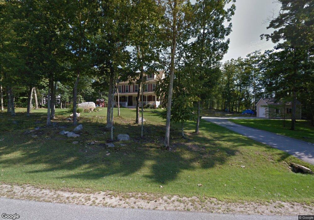
67 Peppermint St Goffstown, NH 03045
Estimated Value: $565,000 - $717,000
4
Beds
4
Baths
2,810
Sq Ft
$223/Sq Ft
Est. Value
About This Home
This home is located at 67 Peppermint St, Goffstown, NH 03045 and is currently estimated at $625,493, approximately $222 per square foot. 67 Peppermint St is a home with nearby schools including Mountain View Middle School and Goffstown High School.
Ownership History
Date
Name
Owned For
Owner Type
Purchase Details
Closed on
Aug 2, 2006
Sold by
Luongo Robert A and Luongo Gina
Bought by
Mailhiot Ryan C and Mailhiot Suzanne
Current Estimated Value
Home Financials for this Owner
Home Financials are based on the most recent Mortgage that was taken out on this home.
Original Mortgage
$250,000
Interest Rate
6.7%
Mortgage Type
Purchase Money Mortgage
Purchase Details
Closed on
Apr 14, 2003
Sold by
All State Builders Inc
Bought by
Luongo Robert A and Luongo Gina
Home Financials for this Owner
Home Financials are based on the most recent Mortgage that was taken out on this home.
Original Mortgage
$150,000
Interest Rate
5.86%
Create a Home Valuation Report for This Property
The Home Valuation Report is an in-depth analysis detailing your home's value as well as a comparison with similar homes in the area
Home Values in the Area
Average Home Value in this Area
Purchase History
| Date | Buyer | Sale Price | Title Company |
|---|---|---|---|
| Mailhiot Ryan C | $435,000 | -- | |
| Luongo Robert A | $295,400 | -- |
Source: Public Records
Mortgage History
| Date | Status | Borrower | Loan Amount |
|---|---|---|---|
| Open | Luongo Robert A | $295,075 | |
| Closed | Luongo Robert A | $285,000 | |
| Closed | Luongo Robert A | $250,000 | |
| Previous Owner | Luongo Robert A | $150,000 |
Source: Public Records
Tax History
| Year | Tax Paid | Tax Assessment Tax Assessment Total Assessment is a certain percentage of the fair market value that is determined by local assessors to be the total taxable value of land and additions on the property. | Land | Improvement |
|---|---|---|---|---|
| 2024 | $7,522 | $368,000 | $210,900 | $157,100 |
| 2023 | $11,799 | $625,600 | $210,900 | $414,700 |
| 2022 | $10,958 | $416,500 | $139,000 | $277,500 |
| 2021 | $10,040 | $404,500 | $139,000 | $265,500 |
| 2020 | $10,040 | $404,500 | $139,000 | $265,500 |
| 2019 | $9,943 | $404,500 | $139,000 | $265,500 |
| 2018 | $7,524 | $404,500 | $139,000 | $265,500 |
| 2017 | $9,841 | $358,900 | $115,500 | $243,400 |
| 2016 | $9,486 | $358,900 | $115,500 | $243,400 |
| 2015 | $9,667 | $343,300 | $108,100 | $235,200 |
| 2014 | $9,269 | $343,300 | $108,100 | $235,200 |
Source: Public Records
Map
Nearby Homes
- 163 Woodview Way Unit 2
- 78 Woodview Way
- 73 River Ledge Dr
- 63 Woodview Way
- 11 E Dunbarton Rd
- 43 Maple Leaf Way
- 181 Knollwood Way
- 30 Horizon Dr
- 11-1 Chatel Rd
- 0 Mast Rd Unit 49 5054665
- 5B Dearborn Cir
- 3A Dearborn Cir
- 3B Dearborn Cir
- 4D Dearborn Cir
- 2A Dearborn Cir
- 4C Dearborn Cir
- 2 Larch St Unit 13
- 5D Dearborn Cir
- 315 Hackett Hill Rd
- 35 Winterhill Rd
- 61 Peppermint St
- 64 Peppermint St
- 91 Peppermint St
- 72 Peppermint St
- 62 Peppermint St
- 55 Peppermint St
- 80 Peppermint St
- 101 Peppermint St
- 54 Peppermint St
- 105 Peppermint St
- 45 Peppermint St
- 98 Peppermint St
- 48 Peppermint St
- 104 Peppermint St
- 111 Peppermint St
- 39 Peppermint St
- 110 Peppermint St
- 42 Peppermint St
- 117 Peppermint St
- 116 Peppermint St