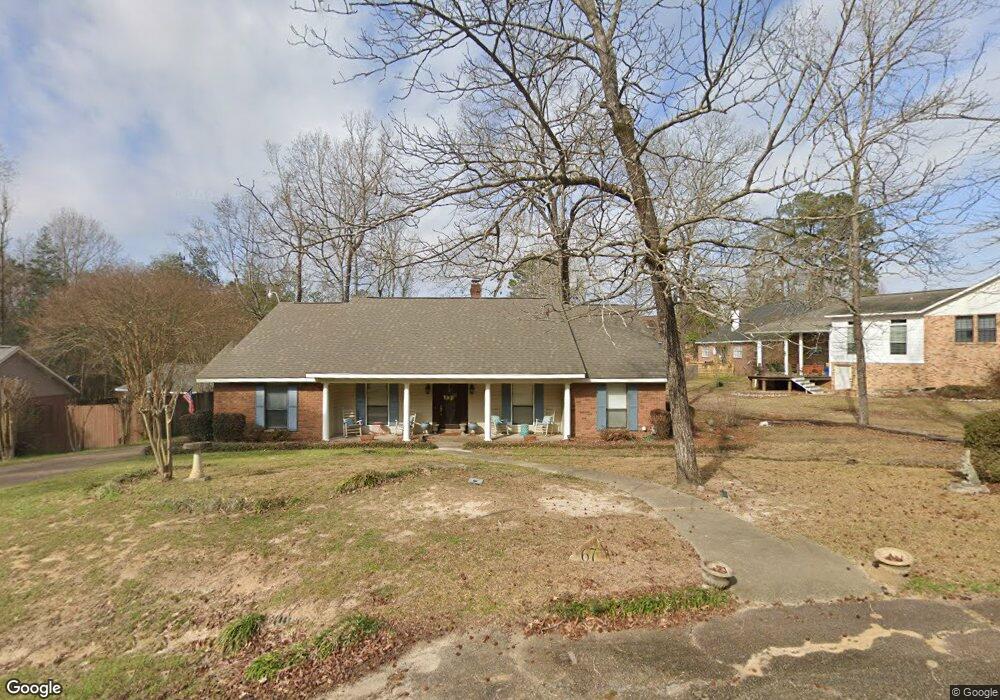
67 Poplar Dr Hattiesburg, MS 39402
Oak Grove NeighborhoodEstimated Value: $250,136 - $288,000
3
Beds
2
Baths
1,982
Sq Ft
$136/Sq Ft
Est. Value
About This Home
This home is located at 67 Poplar Dr, Hattiesburg, MS 39402 and is currently estimated at $269,284, approximately $135 per square foot. 67 Poplar Dr is a home located in Lamar County with nearby schools including Oak Grove Elementary School, Bellevue Elementary School, and Oak Grove Middle School.
Ownership History
Date
Name
Owned For
Owner Type
Purchase Details
Closed on
May 16, 2017
Sold by
Mooney Delana Lynn and Mooney Rodney Jarrod
Bought by
Folkes Sarah Katherine
Current Estimated Value
Purchase Details
Closed on
Apr 30, 2008
Sold by
Graham Casey
Bought by
Mooney Rodney Jarrod and Mooney Delana Lynn
Home Financials for this Owner
Home Financials are based on the most recent Mortgage that was taken out on this home.
Original Mortgage
$166,260
Interest Rate
5.86%
Mortgage Type
Purchase Money Mortgage
Create a Home Valuation Report for This Property
The Home Valuation Report is an in-depth analysis detailing your home's value as well as a comparison with similar homes in the area
Home Values in the Area
Average Home Value in this Area
Purchase History
| Date | Buyer | Sale Price | Title Company |
|---|---|---|---|
| Folkes Sarah Katherine | $139,330 | None Available | |
| Mooney Rodney Jarrod | -- | Prestige Title, Inc |
Source: Public Records
Mortgage History
| Date | Status | Borrower | Loan Amount |
|---|---|---|---|
| Previous Owner | Mooney Rodney Jarrod | $166,260 | |
| Closed | Folkes Sarah Katherine | $0 |
Source: Public Records
Tax History Compared to Growth
Tax History
| Year | Tax Paid | Tax Assessment Tax Assessment Total Assessment is a certain percentage of the fair market value that is determined by local assessors to be the total taxable value of land and additions on the property. | Land | Improvement |
|---|---|---|---|---|
| 2025 | $1,857 | $14,772 | $0 | $0 |
| 2024 | $1,857 | $14,772 | $0 | $0 |
| 2023 | $1,857 | $14,772 | $0 | $0 |
| 2022 | $1,254 | $12,365 | $0 | $0 |
| 2021 | $1,235 | $12,365 | $0 | $0 |
| 2020 | $1,235 | $12,365 | $0 | $0 |
| 2019 | $1,235 | $12,365 | $0 | $0 |
| 2018 | $1,140 | $11,601 | $0 | $0 |
| 2017 | $994 | $10,422 | $0 | $0 |
| 2015 | $1,025 | $10,676 | $0 | $0 |
| 2014 | $1,011 | $10,558 | $0 | $0 |
| 2013 | -- | $10,411 | $0 | $0 |
Source: Public Records
Map
Nearby Homes
- 70 Poplar Dr
- 378 Buccaneer Dr
- 429 Buccaneer Dr
- 18 Woodchuck Dr
- 10 Poplar Dr
- 23 Steerforth Dr
- 38 Copperfield Dr
- 12 Acorn Place
- 50 Leaf Ln
- 211 Delta Dr
- 96 Village Dr
- Lot 82 Parsons Creek
- 5 Shady Ln
- 49 Parson's Creek Rd
- Lot 17 Tallulah Ridge
- 196 Tallulah Ridge
- 4 Shadow Ridge Dr
- Lot 33 Tallulah Ridge
- Lot A-1 Tutwiler Cove
- 321 Mount Pleasant Dr