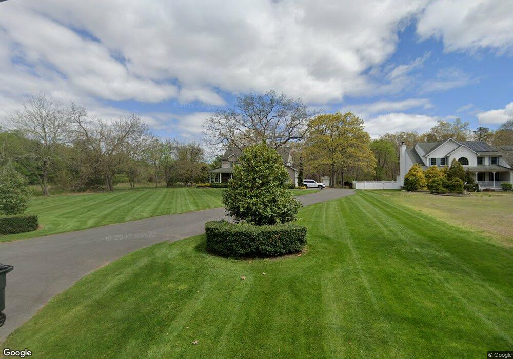
67 Porter Rd Howell, NJ 07731
Southard NeighborhoodEstimated Value: $843,000 - $976,000
4
Beds
3
Baths
3,102
Sq Ft
$296/Sq Ft
Est. Value
About This Home
This home is located at 67 Porter Rd, Howell, NJ 07731 and is currently estimated at $917,171, approximately $295 per square foot. 67 Porter Rd is a home located in Monmouth County with nearby schools including Ramtown School, Greenville School, and Howell Township Middle School South.
Ownership History
Date
Name
Owned For
Owner Type
Purchase Details
Closed on
Dec 11, 1997
Sold by
Alessi Diane
Bought by
Parody Christopher
Current Estimated Value
Home Financials for this Owner
Home Financials are based on the most recent Mortgage that was taken out on this home.
Original Mortgage
$80,000
Outstanding Balance
$13,439
Interest Rate
7.15%
Estimated Equity
$903,732
Create a Home Valuation Report for This Property
The Home Valuation Report is an in-depth analysis detailing your home's value as well as a comparison with similar homes in the area
Home Values in the Area
Average Home Value in this Area
Purchase History
| Date | Buyer | Sale Price | Title Company |
|---|---|---|---|
| Parody Christopher | $100,000 | -- |
Source: Public Records
Mortgage History
| Date | Status | Borrower | Loan Amount |
|---|---|---|---|
| Open | Parody Christopher | $80,000 |
Source: Public Records
Tax History
| Year | Tax Paid | Tax Assessment Tax Assessment Total Assessment is a certain percentage of the fair market value that is determined by local assessors to be the total taxable value of land and additions on the property. | Land | Improvement |
|---|---|---|---|---|
| 2025 | $12,898 | $783,200 | $297,000 | $486,200 |
| 2024 | $12,701 | $728,300 | $251,000 | $477,300 |
| 2023 | $12,701 | $683,200 | $217,000 | $466,200 |
| 2022 | $12,978 | $623,200 | $174,200 | $449,000 |
| 2021 | $12,978 | $567,200 | $167,800 | $399,400 |
| 2020 | $13,130 | $567,400 | $167,800 | $399,600 |
| 2019 | $13,535 | $574,000 | $172,000 | $402,000 |
| 2018 | $13,265 | $559,700 | $172,000 | $387,700 |
| 2017 | $13,339 | $556,500 | $172,000 | $384,500 |
| 2016 | $13,735 | $565,700 | $172,000 | $393,700 |
| 2015 | $13,247 | $539,800 | $152,000 | $387,800 |
| 2014 | $12,702 | $480,400 | $162,000 | $318,400 |
Source: Public Records
Map
Nearby Homes
- 106 Vienna Rd
- 5 Porter Rd
- 5 Pear Ct
- 1 Pear Ct
- 6 Taft St
- 208 Imperial Ct
- 935 Lakewood Farmingdale Rd
- 43 Arosa Hill
- 1131 Carolina St
- 1021 E County Line Rd
- 3 Larrabee Blvd
- 957 E County Line Rd
- 93 W Shenendoah Rd
- 3 Merlin Dr
- 242 Moses Milch Dr
- 1226 Hermosa Dr
- 1226 County Line Rd E
- 31 Rappleyea Rd
- 33 Bronia St
- 0 Bogart Unit 22602583
Your Personal Tour Guide
Ask me questions while you tour the home.